


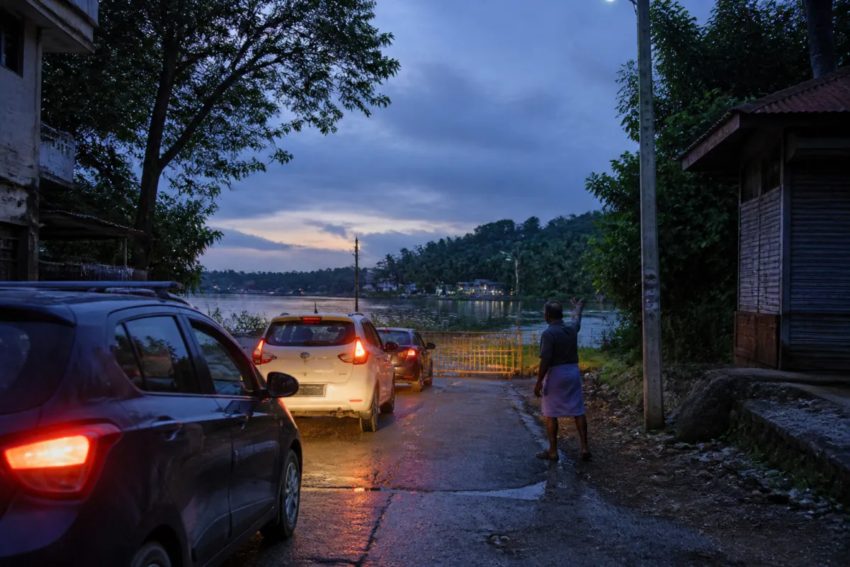
Residents have placed barricades at the Manappuram ferry junction on Old Desam Road in Aluva after vehicles following Google Maps directions were reportedly guided towards a road that ends at the Periyar river. They say the location poses a serious risk, particularly to drivers unfamiliar with the area and those arriving at night.
The route, from Paravur Junction through the Manappuram Road towards Aluva town, is shown by Google Maps as an alternative when traffic builds up on the national highway. However, the road near the Thottakkattukara–Kadathukadavu route ends at the ferry point, with the river beyond it. Residents told Mathrubhumi that fast-moving vehicles have repeatedly reached the junction without realising that the road does not continue.
According to the report, local people have had to shout warnings and block vehicles to prevent possible accidents. Vehicles have also been arriving during the day, but residents consider night-time travel more dangerous because drivers may not see the road ending ahead. The report also refers to previous fatal accidents at other locations, including Gothuruthu, involving motorists relying on map directions, but gives no consolidated accident data for the Aluva junction.
Residents said they had complained several times to officials in the Public Works Department Roads wing. Officials reportedly inspected the location in recent days and said warning boards could be installed, but the signs had not been put up when the report was published.
The barricades have been placed as a temporary measure. Residents are seeking immediate warning signage and a physical restriction that makes it clear to approaching motorists that the road terminates at the ferry junction. They are particularly concerned that the Sabarimala season could bring more vehicles from neighbouring states to the route, increasing the likelihood that unfamiliar drivers will follow the diversion.
The episode highlights a gap between digital route guidance and on-ground road safety measures. At a junction where the physical road layout conflicts with the expectations created by an alternative route, visible signs, lighting and effective barriers are important for communicating the restriction to drivers. Former municipal standing committee chairman Jerome Michael has also urged the authorities to install danger-warning boards without waiting for another accident.

