


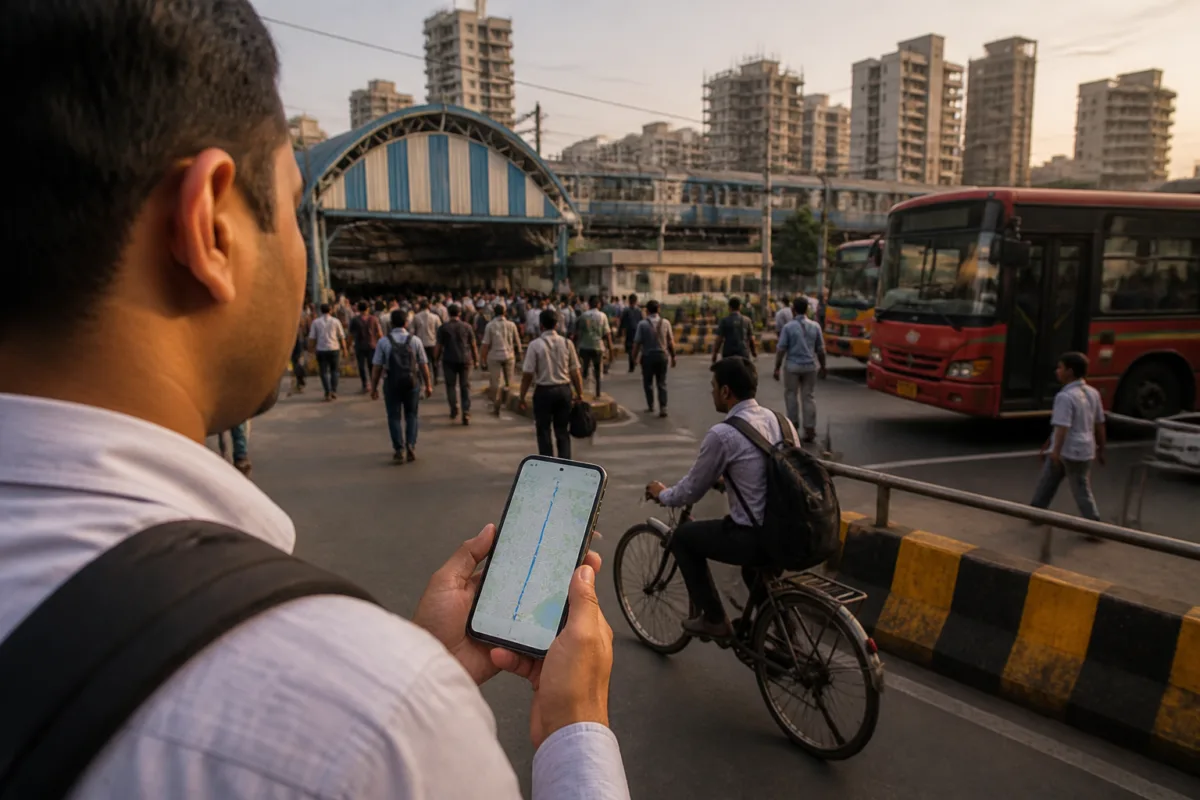
Apple Maps India has received its most significant overhaul in years, adding augmented-reality walking directions, cycling information, live public transport tracking, Indian Railways route planning and navigation features designed for roads with limited formal signage.
The refreshed map experience also includes clearer lane directions, enhanced natural-language guidance, dual-language labels for place names and more detailed visual information for roads, buildings, landmarks and commercial centres. Apple said more than 300 landmarks across India will receive 3D renderings as part of the update.
The update follows Apple’s rollout of iOS 27 enhancements, including expanded natural-language search for route preferences and a Parked Car widget in Smart Stack. It also builds on existing Apple Maps features such as Suggested Places and route planning with up to 15 stops.
“Apple Maps is the best way to explore and navigate the world, and we are excited to bring an enhanced Maps experience to even more users with today’s rollout of the new map in India,” Max Muller, Apple’s vice president of Apple Maps, said in a statement cited by Hindustan Times.
Apple’s India-specific approach is particularly visible in its Natural Language Guidance feature. Instead of relying only on formal road signs, the system can use recognisable landmarks and other real-world cues to provide directions, including instructions to turn after a petrol pump or near a prominent local landmark. The company said the feature is intended to reflect navigation conditions in India, where road signage can vary considerably between locations.
Map labels will use a dual-language format based on the user’s device language and the local language of the region. A user whose device is set to English, for example, will see labels in English alongside the regional language when viewing areas in Delhi or Mumbai. Apple Maps will support English and Hindi as well as Bengali, Gujarati, Kannada, Malayalam, Marathi, Tamil, Telugu, Punjabi, Odia and Urdu.
The update expands Apple Maps beyond private vehicle navigation. Public transport coverage across Ahmedabad, Bengaluru, Chennai, Delhi, Hyderabad, Kolkata, Mumbai and Pune will allow users to identify nearby transit stations, save preferred routes and receive notifications when they need to get off. Indian Railways route planning will provide journey guidance similar to the public transport features.
Pedestrians will be able to use AR Walking Directions by raising an iPhone to scan surrounding buildings and view directional cues overlaid on the camera display. Cyclists will receive dedicated route information, including elevation details, notifications about dedicated cycle lanes and warnings about hazards such as stairs.
The expansion places Apple in a competitive market dominated by Google Maps and also brings it into closer competition with Indian navigation platforms such as MapmyIndia’s Mappls. Exact country-level monthly active-user figures are not published by the major platforms, making market-share comparisons difficult. Hindustan Times reported that Android accounted for 94.84% of India’s smartphone operating-system market in the latest StatCounter data, while Mappls had crossed 45 million downloads in India in figures cited for November 2026.
Apple’s next step is the rollout of the new map experience and its expanded navigation features across supported devices and locations in India.

