


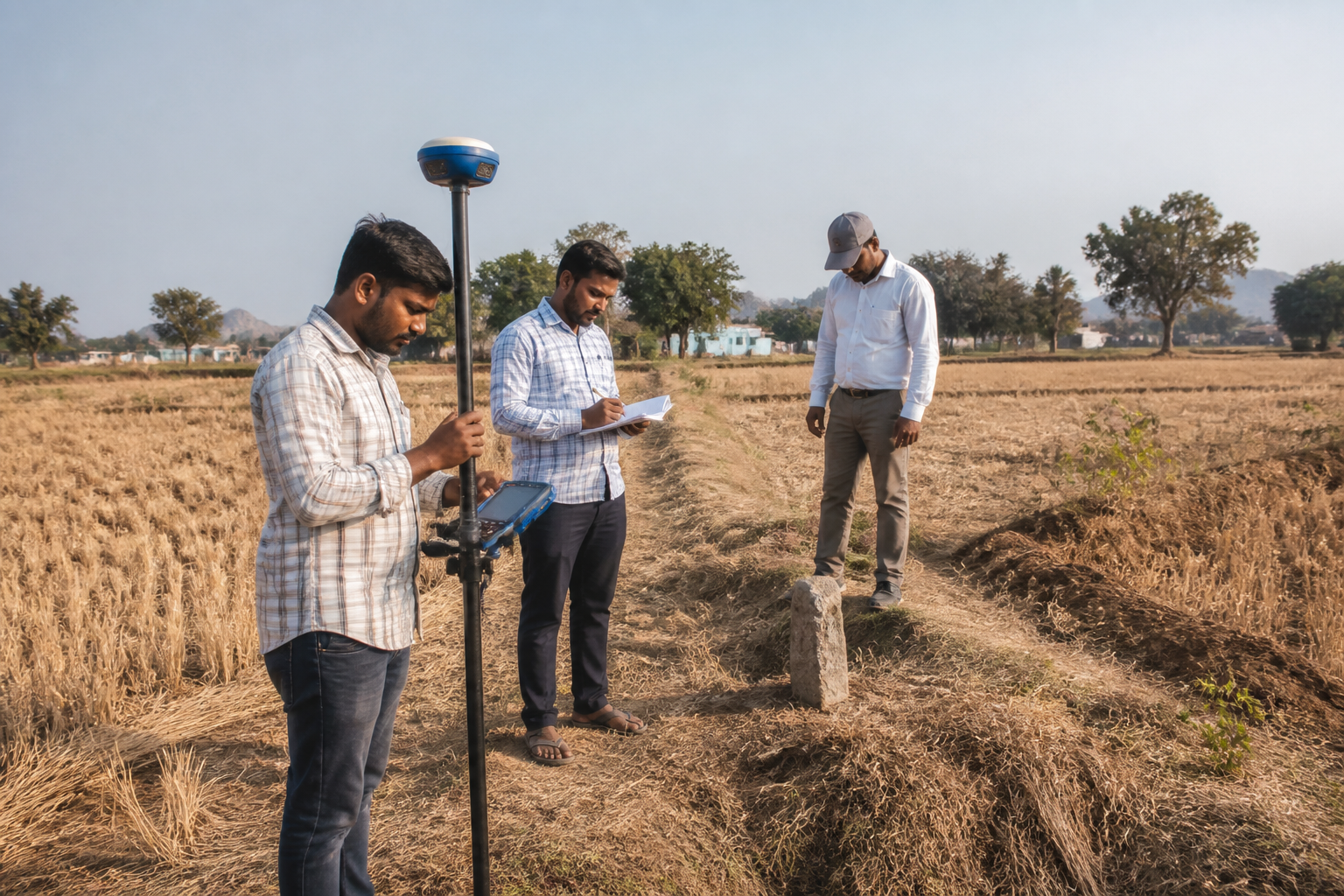
The first phase of the Erravalli land survey in Telangana’s Siddipet district has been completed, but officials have not yet entered former chief minister K. Chandrashekar Rao’s farmhouse, with the property’s survey now expected to be taken up in the second phase.
Officials from the Revenue, Survey and Land Records departments have spent the past 10 days fixing boundaries in Survey No. 325, which covers parts of Erravalli and Shivar Venkatapur villages in Markook mandal. They have also conducted Differential Global Positioning System surveys and collected details of people occupying or cultivating government land in the area.
According to the report by Deccan Chronicle, officials issued notices to 214 farmers during the exercise. Some of the farmers have already submitted documents relating to their cultivation of government land. The survey teams have recorded the details of occupants and cultivators, along with the longitude and latitude coordinates of government land parcels.
The first phase did not include entry into Rao’s farmhouse. Officials prepared detailed notes from the work completed so far and submitted them to senior authorities for review. Rathod Sudarshan, assistant director of the Survey and Land Records department, told Deccan Chronicle that the collected details would be submitted to Siddipet district collector K. Haimavathi.
Sudarshan also said that consolidating the survey reports would take time. The report did not provide a specific date for the completion of the consolidation process or for the start of the second phase involving the farmhouse and other properties identified in the allegations.
The survey follows an announcement by Chief Minister A. Revanth Reddy in the Telangana Assembly that government lands had been encroached upon in Erravalli. Rao, who heads the Bharat Rashtra Samithi, owns a farmhouse in the village and is reported to use it frequently. Allegations that the former chief minister and other private individuals occupied government land are to be examined during the second phase.
The administrative exercise is focused on establishing the boundaries and status of land parcels before officials assess the allegations of encroachment. The use of DGPS technology and the collection of coordinate data are intended to support the identification of government land across Erravalli and Shivar Venkatapur. The notices issued to farmers indicate that the survey also covers land being cultivated or occupied by residents in the surrounding villages.
The survey has drawn attention in the two villages because the timing of the second phase, including the examination of Rao’s farmhouse, has not been announced. For now, officials have completed the boundary-fixing and data-collection work in the first phase, while the reports remain under review by higher authorities and the Siddipet district administration.
