


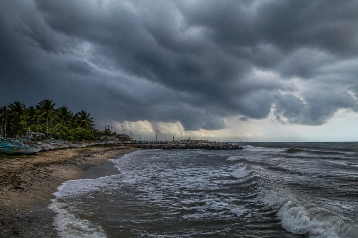
A new weather system could bring fresh cyclone risk to the Andhra Pradesh and Tamil Nadu coasts after a low-pressure area is likely to form over the southeast Bay of Bengal around November 13, the India Meteorological Department’s Amaravati office said in a bulletin on Tuesday.
The system is expected to move north-westwards and intensify into a well-marked low-pressure area within the following 24 hours. However, weather models have not reached a consensus on its eventual track or strength, leaving the potential impact on the east coast uncertain at this stage.
Private weather forecasting agency Skymet said the system could move towards the south-central Bay of Bengal while remaining close to the equatorial region. It said ocean heat potential and the prevailing wind profile were favourable for the system to sustain and intensify. Skymet added that a clearer assessment would be possible only after the system forms over the ocean as a low-pressure area.
The system is developing soon after cyclones Arnab and Murasu, raising the possibility of another period of weather disruption along the east coast. The reported scenarios include a movement towards Tamil Nadu and south coastal Andhra Pradesh along a track similar to Cyclone Murasu, a westward movement followed by recurvature into the Bay of Bengal without landfall, or steering towards the Myanmar coast.
Skymet said the system’s intensity and movement would become clearer around November 12-13. The differing scenarios mean that a possible coastal impact cannot yet be confirmed, and the present assessment does not establish whether the system will strengthen into a cyclone or make landfall in either state.
The developing system highlights the operational challenge faced by coastal administrations during successive Bay of Bengal disturbances: preparedness decisions may have to begin before the final track is known, while forecasts remain subject to change as the system consolidates. The immediate relevance for residents, local authorities and infrastructure agencies will depend on the system’s organisation, direction and rainfall pattern after formation.
If the system intensifies into a cyclonic storm, it will be named ‘Akvan’, a name contributed by Iran. Further updates on its formation, movement and intensity are expected as the low-pressure area develops and weather agencies receive clearer observations from the Bay of Bengal.

