


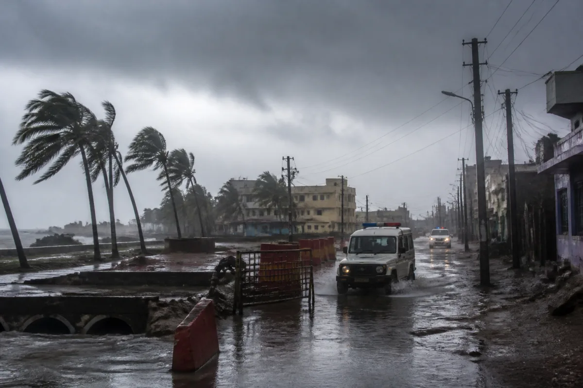
Cyclone Murasu is expected to cross the southern Andhra Pradesh coast between Nellore and Narsapur from Monday midnight to Tuesday morning, bringing winds of up to 110 kmph and gusts of 120 kmph, while several Odisha districts face heavy to extremely heavy rain, thunderstorms and strong winds.
The cyclone is currently concentrated over the southwest and adjoining west-central Bay of Bengal and is moving towards the Andhra Pradesh coast at 27 kmph, according to the India Meteorological Department. The system is expected to intensify further over the west-central Bay of Bengal before turning towards the northwest.
The IMD has forecast that Murasu could make landfall with sustained winds of 100-110 kmph and gusts reaching 120 kmph. The weather system is expected to have a comparatively lower impact than Cyclone Arnab, which made landfall with maximum winds of 150 kmph. IMD director general Mrutyunjay Mohapatra said Murasu could cross the coast around 150 km south of Arnab’s landfall location.
The storm’s effects are expected to reach southern Odisha from the following day, with rain and strong winds forecast along the southern and coastal districts. Ganjam and Gajapati may experience winds of up to 60 kmph, while the maximum wind speed in Odisha during the landfall period could remain around 60 kmph, according to the report.
The IMD has issued an orange warning for Rayagada, Koraput, Malkangiri, Gajapati and Ganjam on November 3, with the possibility of heavy to extremely heavy rain. Winds in these districts may reach 50-60 kmph, with gusts up to 70 kmph. The same districts have been placed under an orange warning for November 4 as well.
Kalahandi, Kandhamal, Nayagarh, Nabarangpur, Puri and Khurda are expected to receive heavy rain and winds of 40-50 kmph, with gusts reaching 60 kmph. Baleswar, Bhadrak, Jajpur, Kendrapara, Jagatsinghpur, Cuttack, Keonjhar and Mayurbhanj are also expected to receive heavy rain, thunderstorms and strong winds. These districts have been issued yellow warnings for the forecast period.
The warning extends to several western and central Odisha districts. Sundargarh, Jharsuguda, Bargarh, Sambalpur, Deogarh, Angul, Dhenkanal, Subarnapur, Boudh, Nuapada and Balangir may experience heavy rain with winds of 30-40 kmph and gusts up to 50 kmph. The IMD has issued yellow warnings for these areas.
The weather department has also warned of thunderstorms and rain in Rayagada, Koraput, Malkangiri, Gajapati, Ganjam, Puri and Khurda, with wind speeds of 40-50 kmph and gusts reaching 60 kmph within 24 hours. The forecast has raised the risk of disruption to road travel, power supply and other exposed infrastructure, particularly in coastal and hilly areas.
The IMD has cautioned that landslides remain possible in southern Odisha despite the expected impact being lower than that of Cyclone Arnab. The immediate forecast period covers November 3 and 4, when the heaviest rain is expected in the southern districts. Authorities and residents will be monitoring the cyclone’s movement, intensity and landfall position as it approaches the Andhra Pradesh coast.

