


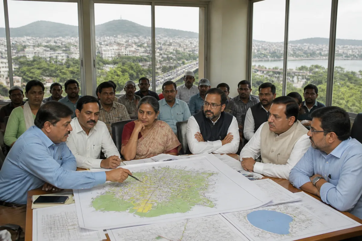
The hearings on Bhopal’s draft Master Plan-2047 have brought the city’s most difficult planning choices into the open: whether residential neighbourhoods should absorb more commercial activity, how much construction existing plots should permit, where a western bypass should run, and how development can proceed without damaging forests, wildlife or the Upper Lake catchment. The first day, held at the Huzur Tehsil office in Lalghati, dealt with around 200 objections out of approximately 10,600 received by the authorities.
The scale and range of the objections show that the master plan is not being contested over a single road or zoning provision. Residents, elected representatives and former officials are disputing the relationship between land-use classification, mobility, redevelopment rights and environmental protection. These are connected questions: a decision to allow more commercial activity in a residential area can alter traffic volumes; a higher Floor Area Ratio can support redevelopment but also increase pressure on roads and services; and a bypass intended to improve connectivity can affect ecologically sensitive land.
The dispute over the proposed Western Bypass illustrated this conflict. Retired IAS officer Kavindra Kiyawat suggested that the bypass be developed as an elevated corridor. Huzur MLA Rameshwar Sharma objected to the suggestion and alleged that permissions for five Bhopal Development Authority residential colonies had been granted in violation of regulations during Kiyawat’s tenure as divisional commissioner. The exchange, as reported during the hearing, reflects a broader institutional question: whether a major transport intervention should be assessed only for its road capacity or also for its environmental and land-use consequences.
Sharma defended the existing bypass proposal, saying it had been prepared after consultations with experts and a joint inspection by the Public Works Department and the Madhya Pradesh Road Development Corporation. The reported objections to the route concern forest land, wildlife and the Upper Lake catchment. The material available does not establish which alignment will ultimately be accepted, but it makes clear that the bypass has become a test of how the plan weighs connectivity against ecological protection.
That choice is especially significant because the bypass is being considered within a master plan rather than as an isolated road project. A transport corridor can change the value and development pressure on land along its route. It can also redirect traffic, create new construction demand and affect the relationship between established neighbourhoods and peripheral areas. The hearings therefore place the road within the larger planning system, even though the supplied report does not provide a final alignment, cost, construction schedule or environmental clearance status.
The other major fault line is the proposed treatment of commercial activity in residential areas, particularly Arera Colony. Town and Country Planning joint director Neeraj Anand Likhar said most of the objections heard on the first day related to commercial activities in residential areas. Residents opposing the proposal argued that permitting shops, offices and other establishments along residential roads would increase congestion and lead to frequent traffic jams.
Objector Ramkumar Singh called for better road connectivity between established neighbourhoods while also seeking protection for water bodies and natural resources through green corridors and stricter action against illegal construction. His objection connects two issues that are often handled separately in planning documents: formal land-use permission and the capacity of streets and public infrastructure to accommodate the activity that permission creates.
Arera Colony residents also raised concerns about the proposed classification of the area as an RG-3 residential zone. Vivek Tripathi said the classification could effectively legitimise unauthorised commercial establishments near Number 10 Market. He alleged that illegal buildings were being converted into commercial streets and warned that residents could approach the Supreme Court if the discrepancies were not addressed. Sanjeev Srivastava separately alleged that buildings exceeding permissible Floor Area Ratio limits were being constructed in E-5, Arera Colony, while offices and coaching centres were operating from residential properties.
These claims remain objections and allegations made during the hearings, not findings established by the planning authority or a court. Their importance lies in the implementation problem they reveal. A plan can define a neighbourhood as residential, mixed-use or commercial, but its effect depends on whether building permissions, occupancy, enforcement and traffic management operate consistently with that classification. If existing violations are not resolved, a new zoning label may be seen by residents either as a correction of reality or as retrospective approval of unauthorised development.
The debate over Floor Area Ratio brings a different pressure into the process: the need to accommodate changing household sizes and the cost of rebuilding older homes. Prabodh Dev said his father built a house in E-2, Arera Colony, around 55 years ago, when the permissible FAR was 1.25. He argued that the current limit of 0.75 would substantially reduce the permissible construction area if the house were rebuilt and sought an increase to 3.0.
Another objector, Prabhat Maheshwari, said 25 members of his extended family, including three brothers, lived in one house and sought the same FAR of 3.0 because the available space had become inadequate. These objections show why FAR is not merely a technical planning figure. It determines how existing households can adapt to demographic change, whether old homes can be replaced at viable scale and how much additional built form a neighbourhood may absorb.
At the same time, a higher FAR can have effects beyond the boundary of an individual plot. More permissible floor area can increase demand for parking, water, sewerage, electricity and road space. The supplied report does not provide a services-capacity assessment or explain how the proposed FAR levels were calculated. That absence is itself central to the planning question: the debate cannot be resolved through plot-level construction rights alone if neighbourhood infrastructure is not assessed alongside them.
Bhopal MP Alok Sharma pointed to discrepancies in the draft plan, including an instance where land previously designated for residential use had been classified as green land. Such discrepancies can affect property expectations, development permissions and the credibility of the plan. They also show why the objection process matters institutionally. A master plan is not only a map of intended land use; it is a framework that guides subsequent approvals and shapes how public and private investment is directed.
The administrative process is substantial. Officials said around 10,600 objections had been received. About 3,000 offline objections and suggestions were expected to be heard by November 27, according to Town and Country Planning sources, while the online objection schedule had not been updated on the department’s portal. Authorities were scheduled to hear around 1,075 objections on the following day, primarily concerning construction on agricultural land along the Upper Lake banks.
The reported volume raises a practical issue about participation: how the administration will record, classify and respond to thousands of objections while ensuring that significant planning issues are not reduced to individual cases. The hearings cover land-use classifications, construction norms, commercial activity, traffic management and environmental protection. Each category has different technical and legal implications, but decisions in one category can directly affect the others.
Construction on agricultural land near the Upper Lake is particularly important because it combines land conversion, building regulation and water-body protection. The supplied material does not state how many such objections were accepted, what enforcement action has been taken or what final safeguards are proposed. It does, however, show that the lake’s catchment and banks are central to the public response to the draft plan.
The hearings also expose a tension between correcting the city’s past and planning its future. Existing neighbourhoods have changed since the rules under which they were built were framed. Families have grown, offices and coaching centres have entered residential areas, and traffic has increased around commercial clusters. A plan that ignores those changes may be difficult to implement. A plan that regularises them without assessing infrastructure and environmental limits may create new problems.
Bhopal’s planning process must therefore resolve more than individual objections. It must establish whether commercial permissions will be matched by traffic and parking measures, whether higher FAR will be linked to infrastructure capacity, whether the Western Bypass will protect sensitive areas, and how discrepancies in land-use maps will be corrected. The reported hearings do not answer those questions yet. They show that the draft Master Plan-2047 has become a public test of whether the city’s future growth will be managed through coordinated planning or through separate decisions on roads, buildings, land classifications and enforcement.
The hearings will continue in the coming days. Authorities are expected to examine objections relating to land use, construction norms, commercial activity, traffic management and environmental protection before the next stages of the master-plan process are determined.

