


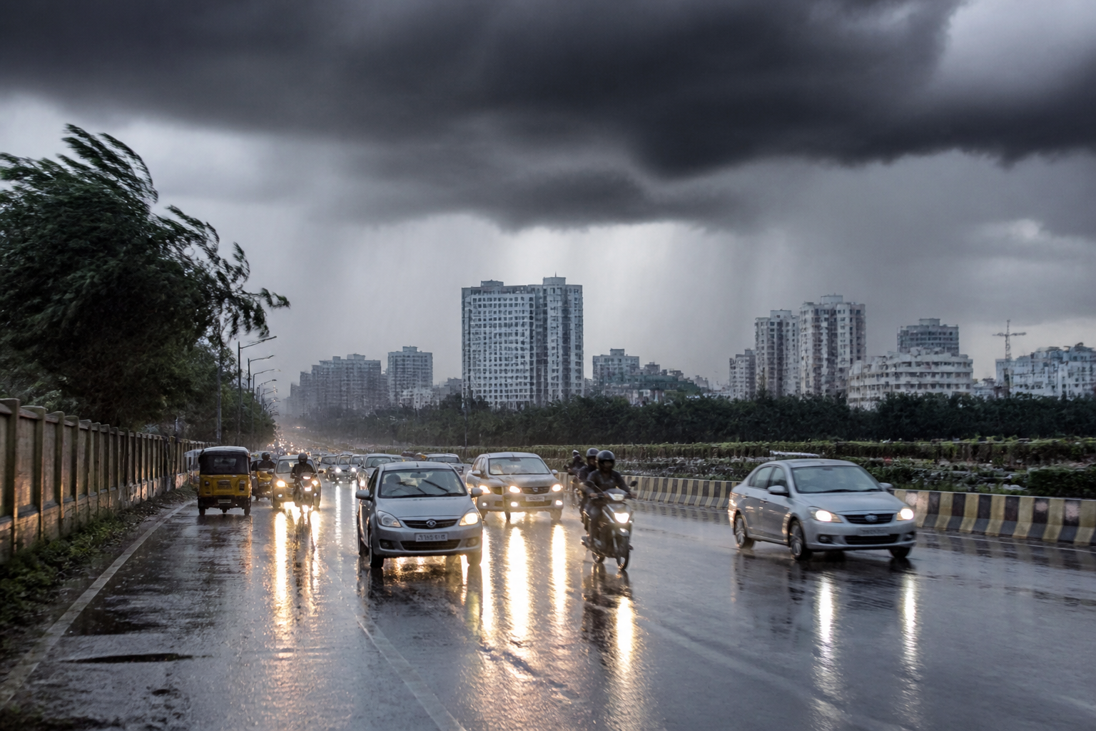
Bengaluru could receive another spell of moderate to heavy thundershowers this week as a low-pressure system over the Bay of Bengal strengthens and draws moisture towards Karnataka, according to the India Meteorological Department (IMD). The forecast comes as the southwest monsoon begins its official retreat from parts of the country.
The developing system is expected to form over the north Andaman Sea and adjoining areas late Saturday evening. The IMD forecast says it may move west-northwestwards and intensify into a depression over the east-central Bay of Bengal on Monday, followed by further strengthening into a deep depression over the west-central Bay of Bengal on Tuesday.
The system is then expected to continue moving towards the west-central and adjoining northwest Bay of Bengal, reaching near the south Odisha-north Andhra Pradesh coasts by Wednesday. Its movement could transport additional moisture inland and increase rainfall activity across parts of Karnataka between Tuesday and Thursday.
For Bengaluru, the forecast indicates isolated moderate to heavy thundershowers rather than continuous city-wide rain. The weather system could also provide relief from recent heat, although the intensity and distribution of showers will vary across districts and localities.
The IMD has issued a yellow alert for several Karnataka districts, including coastal districts, Belagavi, Gadag, Dharwad, Haveri, Bidar, Kalaburagi, Chikkamagaluru, Hassan and Kodagu. Bengaluru was not listed among the districts named in the alert in the supplied forecast, but the department has indicated the possibility of thundershowers across South Interior Karnataka.
A senior scientist at IMD Bengaluru said a trough could extend from Marathwada to the southeast Arabian Sea across Interior Karnataka and Kerala during the first half of the coming week. This configuration is expected to support thundershowers in South Interior Karnataka districts.
The scientist also said these showers could be accompanied by strong, gusty winds of 30 to 40 km/hr. For Bengaluru, such conditions can affect road traffic, outdoor activity and local electricity services, particularly where intense rain is accompanied by falling branches or water accumulation. The supplied forecast does not specify local rainfall totals or identify particular city zones at risk.
The possible rainfall spell follows the onset of the southwest monsoon’s retreat in parts of the country, but the end of the seasonal phase does not rule out short-duration rain events caused by other weather systems. In this case, the Bay of Bengal system and the trough across Interior Karnataka are the factors identified by the IMD for the expected increase in rainfall.
Rainfall activity is expected to build from Tuesday and remain significant across parts of Karnataka through Thursday. The next operational update from the IMD will determine whether the forecast changes in intensity, coverage or district-level alerts as the system moves towards the eastern coast.
