


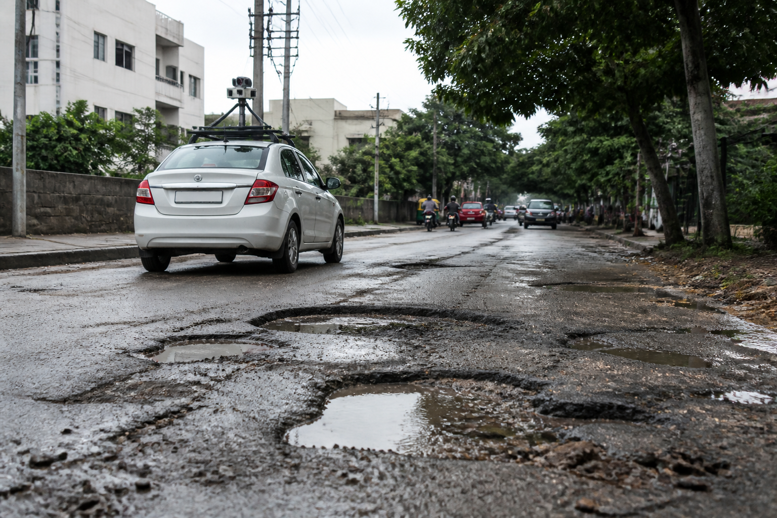
Bengaluru North City Corporation has identified 14,393 potholes across 2,493.5km of roads in an AI-based survey, giving the civic body a detailed map to prioritise repairs across seven divisions and 72 wards.
The survey used real-time images captured through dashcams to assess road conditions. While 82.1% of the surveyed network was classified as being in good-to-adequate condition, the assessment also recorded extensive potholes, localised road damage, utility-related deterioration and stretches of unpaved roads.
According to the findings reported by the Times of India, 1,426.8km of roads were rated in good condition. Another 607.1km had minor surface defects. The remaining road network included sections affected by more serious or localised damage, roads disturbed by utility works and unpaved stretches.
Byatarayanapura division recorded the highest number of potholes, with 5,964 identified during the survey. Sarvagnanagar followed with 2,359 potholes, while Pulikeshi Nagar recorded 1,357. The figures indicate that pothole-related road damage is concentrated unevenly across the corporation’s administrative divisions rather than being spread uniformly across the surveyed network.
The survey also identified 102km of roads affected by utility works and 102.8km of unpaved roads. These findings distinguish between potholes and other forms of road deterioration, including damage linked to digging or reinstatement work for utilities. The corporation’s assessment therefore covers both surface defects and broader gaps in road construction and maintenance.
The corporation said the survey data would be used to prioritise road repairs and development. It described the exercise as a shift from a complaint-based maintenance system towards data- and technology-based planning. Under the earlier approach, repair attention could be driven primarily by complaints received from residents or by inspections after visible damage had emerged.
An AI-enabled road inventory gives the civic body a single assessment of road conditions across its jurisdiction and allows damaged locations to be identified through mapped survey images. The reported findings do not specify the cost of repairs, the order in which divisions will be addressed or the deadline for completing the work.
The survey covers Bengaluru North City Corporation’s seven divisions and 72 wards, but the findings also highlight several separate maintenance responsibilities. Potholes require surface repairs, while utility-related damage may involve coordination with agencies or contractors responsible for underground services. Unpaved roads may require more extensive development work than routine pothole filling.
The corporation’s next step is to use the survey results to prioritise road repairs and development. The report does not provide a division-wise repair schedule, tender timeline or details of how residents will be able to track the implementation of the identified works.
