


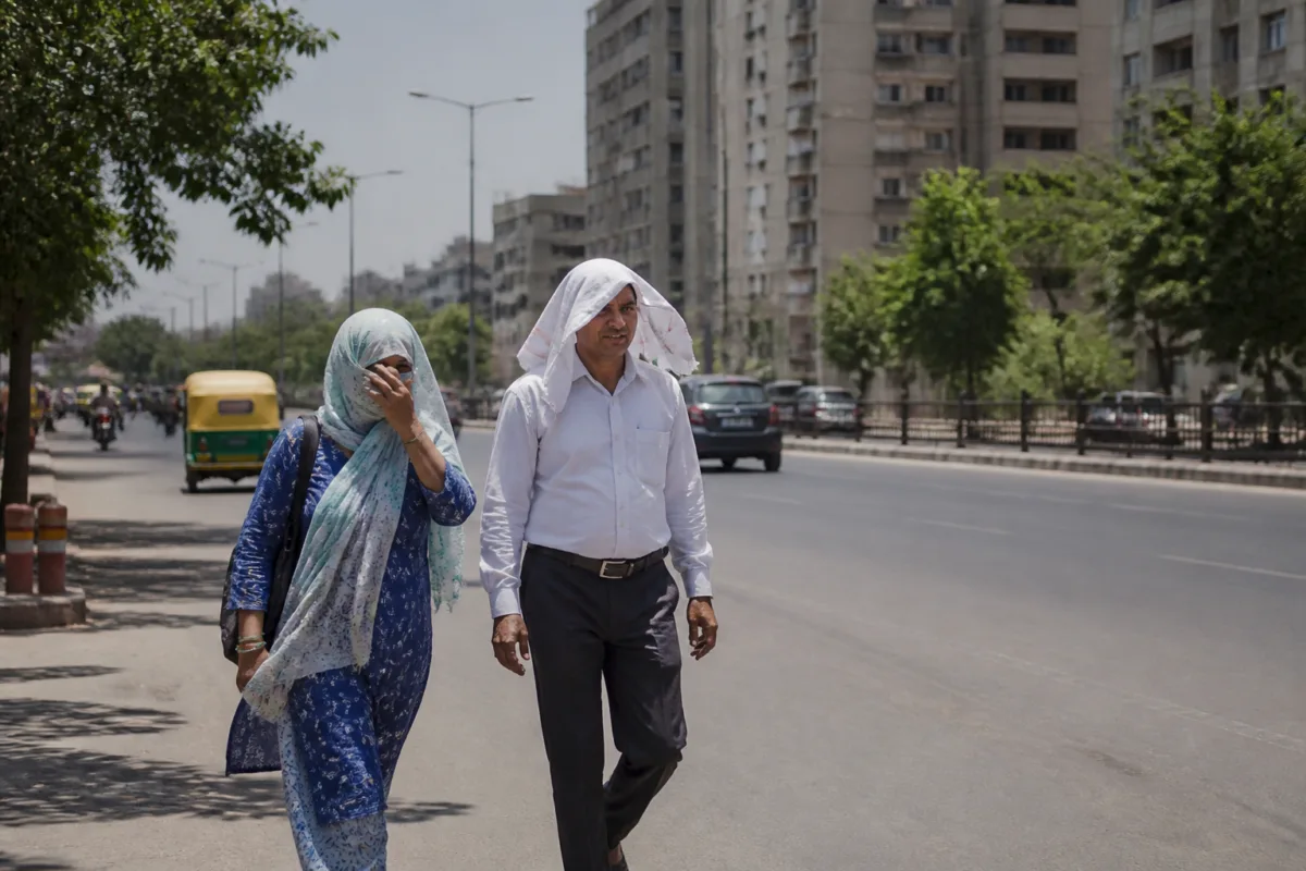
Ahmedabad recorded a maximum temperature of 38.1°C on Tuesday, about 2.1°C above normal, as the India Meteorological Department forecast another week of dry weather and no significant change in temperatures across Gujarat.
The city’s minimum temperature was 23.2°C, 2.3°C higher than normal, adding to residents’ experience of warm nights alongside the unseasonably hot afternoons. The IMD forecast indicated that Ahmedabad’s temperatures were likely to remain in a similar range on Wednesday, with no immediate relief expected.
The wider state is also experiencing elevated temperatures. Rajkot was Gujarat’s hottest location at 40.6°C, crossing the 40-degree mark. Bhuj recorded 39.3°C, while Surendranagar reached 39°C. Deesa and Amreli were among the other locations that recorded unusually warm daytime conditions.
According to the state forecast, both maximum and minimum temperatures are expected to show no significant change over the next seven days. The forecast points to a prolonged dry spell across Gujarat rather than a short-lived rise in daytime heat.
Northerly to northeasterly winds continue to prevail over the region. Residents have also reported warm nights and humid conditions, which can make the heat feel persistent even after sunset. The combination of above-normal daytime temperatures and higher-than-normal minimum temperatures means that homes and built-up areas may receive less overnight relief, although the supplied forecast does not provide a separate assessment of urban heat conditions.
The current readings come as Ahmedabad enters another period of elevated heat without a forecast change in the immediate term. The difference from normal was recorded for both the daytime maximum and nighttime minimum, making the weather pattern broader than a single afternoon temperature spike.
Experts cited in the report advised residents to stay hydrated while outdoors. The IMD’s next forecast milestone is Wednesday’s temperature outlook, while the broader Gujarat forecast will continue to be monitored over the coming week for any significant change in maximum or minimum temperatures.

