


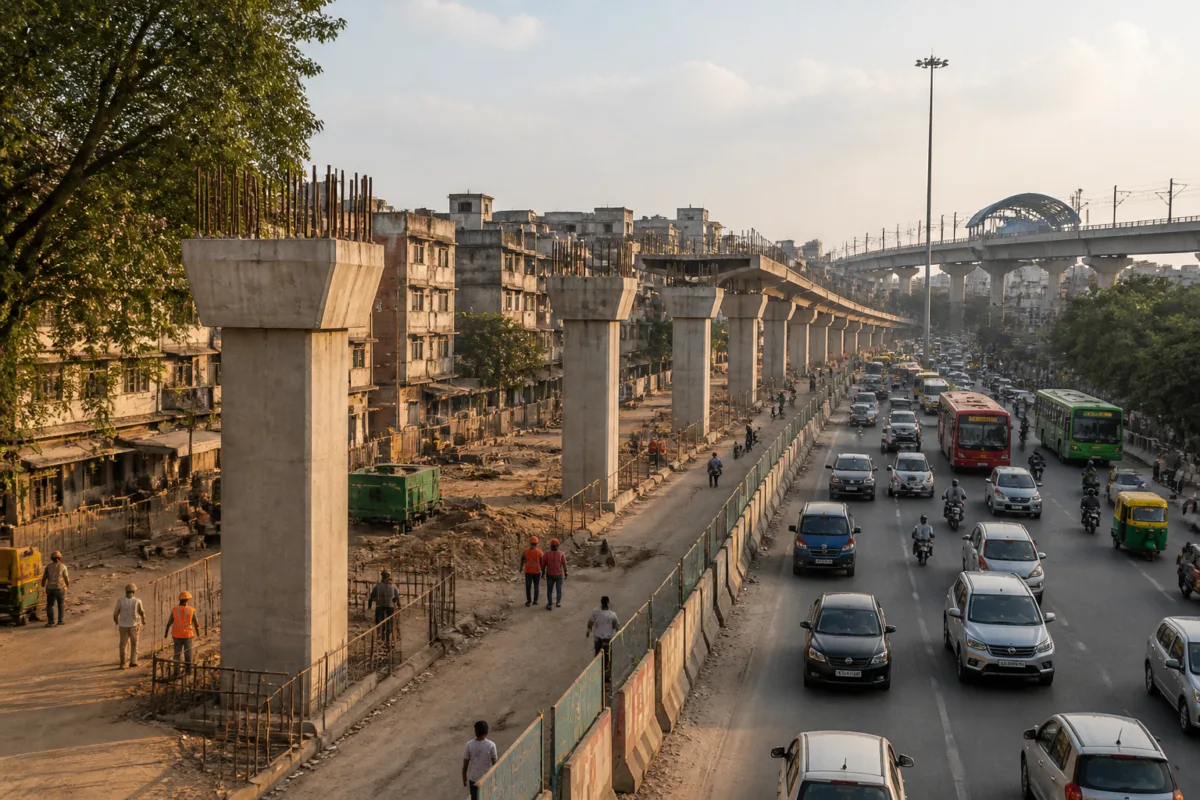
The Delhi government is planning an eight-kilometre elevated corridor comprising four flyovers along Mehrauli-Badarpur Road to address persistent congestion in South Delhi, with two stretches under implementation and feasibility work under way for the remaining sections.
The Public Works Department has secured Cabinet approval for two projects, for which the government sanctioned Rs 1,471.14 crore in March 2026. Officials said the proposed corridor is intended to improve connectivity between Saket, Ambedkar Nagar, Khanpur, Sangam Vihar and Pul Prahladpur by reducing travel time and easing traffic movement.
The first approved stretch is a 2.41-kilometre section between Saket G and Sangam Vihar. More than half of its construction is complete, according to the report. The project is being executed by the Delhi Metro Rail Corporation and involves an integrated flyover constructed above an underground metro corridor.
Work has also begun on a 2.56-kilometre section connecting Maa Anandmayee Marg with Pul Prahladpur. However, land acquisition and transfer issues are delaying the project. The PWD has approached the Delhi Development Authority for the transfer of land required for construction.
The two remaining proposals are a 2.72-kilometre flyover between Sangam Vihar and Maa Anandmayee Marg, and a 450-metre structure connecting Pul Prahladpur with Badarpur. Consultants have been appointed to examine these sections, and their detailed project report is expected by January 2027. The proposals will then be submitted to the government for financial approval.
This means the four-flyover corridor is not yet a fully approved or uniformly funded project. Two sections have received Cabinet approval and funding, while the other two remain at the feasibility and detailed-planning stage. Their construction will depend on the findings of the consultants and subsequent financial clearance.
The project’s implementation will also require decisions on its environmental footprint. Officials are examining the number of trees that may need to be removed for the proposed construction. The outcome of that assessment, along with the land transfer process, will influence the final design, construction requirements and delivery of the corridor.
For communities along MB Road, the proposed elevated links could alter traffic movement between major residential and transport nodes. The parallel work involving an elevated road structure and an underground metro corridor also makes coordination between road and rail infrastructure central to the project’s execution. Until land, funding and tree-related requirements are resolved, however, the full corridor remains a phased proposal rather than a confirmed construction package.

