


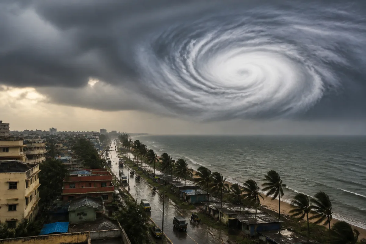
A depression in the Bay of Bengal is moving at 23 kmph and could intensify into a cyclonic storm, according to a report published by The Samaja – Bhubaneswar. The report says the system may strengthen further, but the material supplied does not include an identifiable official weather-agency bulletin confirming the forecast or the name attributed to the system.
The depression has been moving at a speed of 23 kmph over the past six hours, according to the report. It was located around 700 kilometres from Chennai and approximately 770 kilometres from Visakhapatnam and Machilipatnam, the report said.
The report states that the system could intensify into a cyclonic storm on November 1 and may become a severe cyclonic storm on November 2. These forecasts are presented in the source report, but no direct quotation, bulletin number or named meteorological authority is provided in the supplied material.
The developing system is relevant to coastal urban areas because intensifying weather disturbances can affect transport, power supply, drainage, communications and emergency preparedness. However, the supplied report does not establish whether any city, district or coastal state has received an official warning, evacuation instruction or operational advisory.
The report identifies Bhubaneswar in its location line and refers to Chennai, Visakhapatnam and Machilipatnam as reference points for the system’s position. It does not provide a projected landfall location, expected wind speed, rainfall forecast, storm-surge assessment or a confirmed timeline for impacts on land.
The distinction is important because a depression’s movement and possible intensification do not, by themselves, establish the level of risk to a particular urban area. Public agencies generally require updated observations and official forecasts to determine warnings, port restrictions, transport changes, shelter requirements and other preparedness measures.
The Samaja report indicates that concern has increased around the system’s possible development, but the central forecast remains subject to confirmation from an authorised meteorological source. Until such confirmation is available, the system’s final intensity, track and possible effects on coastal communities cannot be established from the supplied material.

