


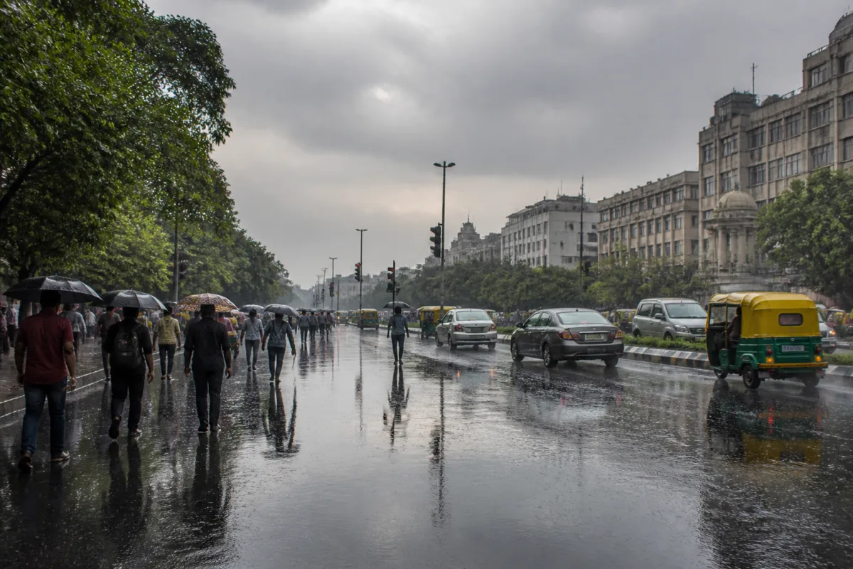
Delhi’s average Air Quality Index improved from 222 in the poor category to 90 in the satisfactory category after the Capital received its heaviest single-day October rainfall in four years, with the India Meteorological Department forecasting more rain, thunderstorms and lightning.
The Safdarjung observatory recorded 61.4 mm of rain in the 24 hours ending 8.30 am on Friday, the highest single-day October rainfall at the station since October 9, 2022, when it received 74 mm. Nearly half of Delhi’s rainfall for the month was recorded during the latest 24-hour period.
The improvement in Delhi air quality was recorded at 9.30 am on Friday, according to the Central Pollution Control Board. The city’s average AQI had stood at 222 at 4 pm on Thursday. The sharp change followed widespread showers across the Capital and surrounding areas.
Several weather stations recorded more than 40 mm of rain. Lodhi Road received 63.4 mm, while Ayanagar recorded 55.4 mm, Chhatarpur 53.5 mm, the Ridge 50.3 mm and Palam 43.1 mm. Jharoda Kalan recorded the highest rainfall among the stations, at 89 mm, as of Friday morning.
The rain pushed Safdarjung’s cumulative October rainfall to 123.3 mm, compared with the monthly normal of 15.1 mm. This represents a surplus of 108.2 mm, or about 717 per cent. October is generally one of Delhi’s drier months as the city transitions from the southwest monsoon season towards winter.
The rainfall also brought a marked fall in daytime temperatures. Delhi recorded a maximum temperature of 25.4°C at Safdarjung on Thursday, 5.6 degrees below normal and the lowest maximum temperature for an October day in four years. The previous lower maximum was 23.4°C on October 8, 2022.
The minimum temperature, however, remained relatively higher at 17.2°C on Friday, or 1.1 degrees above normal. According to the weather explanation cited in the report, cloud cover and high humidity can restrict the loss of heat from the surface, limiting the fall in night-time temperatures.
An active Western Disturbance was the primary weather system responsible for the rainfall over Delhi and other parts of northwest India, according to IMD officials. These eastward-moving systems originate in the Mediterranean region and adjoining areas before travelling across West Asia and bringing moisture into northwest India.
The system also triggered widespread rainfall across parts of Haryana, Uttar Pradesh, Uttarakhand and adjoining areas. The IMD national bulletin separately referred to the remnant depression of Very Severe Cyclonic Storm ‘Arnab’, which was located over Chhattisgarh and adjoining Odisha on Thursday and was expected to weaken into a well-marked low-pressure area. The IMD said the cyclone remnant was affecting central and eastern India, while the Western Disturbance was driving rainfall over northwest India.
The weather office issued an orange alert for the whole of Delhi on Friday and forecast further spells of light to moderate rain, thunderstorms and lightning. Partly cloudy skies are expected on Saturday, followed by mainly clear skies from Sunday.

