


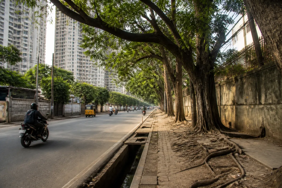
Chennai’s green cover problem is not only that the city has too few trees. It is also that the institutions responsible for planting, protecting and measuring them do not have a current, shared account of what exists. That gap makes it difficult to assess whether the city is moving towards Tamil Nadu’s urban green targets or simply reporting activity without proving outcomes.
The Greater Chennai Corporation’s last tree count, conducted between 2017 and 2020, used geospatial technology to identify 2.48 lakh trees across the corporation’s 15 zones and 432.4 sq km. Since then, the corporation and other government bodies say they have planted 5.69 lakh saplings in schools, colleges and other public spaces between May 2021 and October 2026. Yet the supplied report says no department knows what happened to these saplings.
That is the central weakness in Chennai’s urban forestry system. A planting number records an input. It does not establish survival, canopy growth, species diversity, maintenance or equitable distribution. Without those measures, a city can announce a large planting programme while remaining unable to say whether its streets, neighbourhoods and public spaces have become greener.
The Green Tamil Nadu Mission’s policy, as reported by The Times of India, sets out three targets for urban areas. Tree canopy should cover 30% of every urban neighbourhood. Every resident should be able to see at least three mature trees from home or work. The maximum distance between two green spaces in a city should be 300 metres.
These targets shift the discussion from planting alone to the everyday experience of urban nature. They require officials to know where trees are located, how mature they are, which species dominate, whether neighbourhoods have comparable access to green spaces and whether new development is reducing existing canopy. The current data gap makes each of those questions difficult to answer.
The spatial pattern described in the report also suggests that Chennai’s green cover is uneven. Adyar, T Nagar and Besant Nagar have dense canopy, while Vyasarpadi, Royapuram and Royapettah have much less. The difference matters because a citywide average can conceal neighbourhood-level inequality. A resident’s access to shade, parks and mature trees depends less on the city’s overall figure than on what is available within walking distance of home, work or school.
The distribution of new planting appears uneven as well. Data cited in the report show that 37% of the saplings were planted in Chennai’s southern zones. The report does not establish whether this reflects greater land availability, institutional capacity, environmental need or another administrative decision. It does, however, show why location-level data are necessary. A city cannot test a neighbourhood-based canopy target through a single corporation-wide planting total.
A 2026 study by Anna University’s Centre for Climate Change and Disaster Management placed Chennai in a “high-priority” zone for immediate urban forestry measures. It found that 6,634.52 hectares, or 15% of the city, had green cover and identified the potential to add 2,015 hectares. The study’s figures provide a broader measure of land cover than the tree census, but they do not replace the need for an individual tree inventory. Canopy area, tree numbers, tree condition and survival rates answer different planning questions.
That distinction is important for municipal administration. Satellite imagery can show where vegetation exists, but it may not reveal whether a tree is mature, damaged, obstructed by construction or part of a healthy, connected green network. A field inventory can provide that detail, but it requires staff, time, maintenance protocols and a system for updating records. The government’s proposed census with The Energy and Resources Institute, or TERI, is expected to combine both approaches.
Assistant conservator of forests R Mahendran said the process would begin with satellite imagery of green cover, followed by “ground truthing”, in which trees are counted on the ground. In institutional terms, that is an attempt to connect citywide mapping with street-level verification. Its usefulness will depend on whether the resulting database is treated as a living municipal asset rather than a one-time survey.
Responsibility for Chennai’s greenery is spread across several agencies. The Green Tamil Nadu Mission coordinates planting with local bodies and state agencies. The forest department supplies saplings to civic bodies and farmlands, while rangers help protect and maintain them. The Greater Chennai Corporation manages public land within its jurisdiction and has zonal officers and park overseers involved in tree protection and fines.
This arrangement can support specialised work, but it can also make accountability difficult. If saplings are planted by one agency, maintained by another and located on land controlled by a third, survival data can fall between institutional boundaries. The report does not identify a single agency responsible for publishing a complete survival register. That omission is not a minor administrative detail: it is the difference between counting work completed and measuring a public asset maintained.
The Green Tamil Nadu Mission official quoted in the report said planting focuses on blue-green areas, waterbodies, canals, educational institutions, government offices and state highways. The official also said core urban areas cannot be targeted because of underground cables and pipelines. These constraints explain part of the distribution challenge. They also show that urban forestry is tied to the way streets and utilities are planned.
In dense neighbourhoods, planting a tree is not simply a matter of placing a sapling in an unused patch of land. Footpaths, drainage, utility corridors, road widening, building access and underground infrastructure compete for the same limited space. A policy that seeks three mature trees visible to every resident therefore requires coordination between landscaping, roads, utilities, building permissions and public-space design. Planting programmes operating separately from those systems will struggle to change the character of established neighbourhoods.
Protection of existing trees presents a parallel challenge. Environmentalist T D Babu, a trustee of Nizhal, said cable wires wrap around tree trunks, posters are fixed with nails and concrete and pavements cover the base of trunks, leaving roots without room to breathe. These are not new planting failures; they are maintenance and enforcement failures affecting trees that have already reached maturity.
Greater Chennai Corporation commissioner G S Sameeran said people who damage trees on government land face a fine of ₹15,000, while unauthorised felling can attract a penalty of up to ₹1 lakh. He said each zone has a park overseer authorised to collect fines and that zonal officers have been instructed to protect tree cover. The existence of penalties gives the corporation an enforcement mechanism. The evidence supplied does not establish how frequently fines are imposed, how many trees are protected through enforcement or whether penalties are sufficient to deter damage.
The numbers in the report consequently tell two different stories. Chennai has recorded 2.48 lakh trees in an earlier census and reported 5.69 lakh saplings planted in the following period. It also has an estimated 15% green cover and identified potential for another 2,015 hectares. But these figures cannot be read as a single trend because they measure different things and come from different exercises. The missing link is a regularly updated system connecting planting, survival, canopy, species and location.
That system would also make the state’s targets testable. The 30% neighbourhood canopy goal needs neighbourhood-level measurement. The three-mature-tree visibility target needs a method for assessing what residents can actually see from homes and workplaces. The 300-metre green-space standard needs mapped access to parks and other green areas, not simply a total count of public spaces.
Chennai’s experience points to a broader urban governance question: whether green infrastructure is being managed as essential city infrastructure or as a series of disconnected beautification and plantation drives. Trees provide shade and form part of the city’s climate response, but the supplied material does not quantify their effect on temperature, flooding or air quality. What it does show is that their public value cannot be secured without basic administrative information.
The proposed TERI-supported census is therefore more than a counting exercise. It is an opportunity to establish a baseline against which planting, survival and protection can be assessed. The evidence currently confirms a mismatch between ambitious green targets and incomplete local data. The next significant test will be whether the new census produces a transparent, ground-verified record that can guide decisions across Chennai’s 15 zones and be updated after planting and development activity.

