


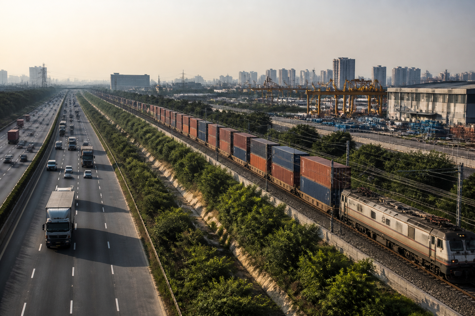
The proposed NCR logistics ring is designed to do more than add warehouses around Delhi. Under the draft NCR Regional Plan-2041, the Central NCR could be developed as an integrated industrial and freight network linking manufacturing, storage, highways, airports and dedicated freight rail. If implemented, the plan would shift the region’s economic geography from a Delhi-centred urban system towards a wider ring of logistics and industrial districts.
The proposal identifies modern warehouses, logistics parks, dry ports, inland container depots, air-cargo terminals and multimodal freight hubs as parts of one network. Gurugram is being positioned as its principal centre, while the Gurugram-Manesar-Bawal belt is expected to play a particularly important role. The report also identifies Jhajjar, Sonipat, Charkhi Dadri, Ghaziabad, Gautam Buddh Nagar, Bulandshahr, Baghpat and Alwar as part of the wider logistics district system.
That geography matters because freight infrastructure does not operate as a single project. A warehouse is useful only when it is connected to roads, rail, ports, airports, industrial users and distribution markets. The draft plan’s central idea is therefore institutional as much as physical: it seeks to treat manufacturing, storage and transportation as one economic system rather than as separate land uses and departments.
The most consequential policy proposal is to classify warehousing and logistics land use as industrial activity. According to the report, this could reduce land costs for logistics operators and improve the competitiveness of freight movement in the NCR. The plan also proposes reserving land for intensive industrial-logistics development and urban regeneration.
This change could influence where logistics facilities are built and how cities around Delhi expand. Industrial classification may make land assembly and approvals easier, but it would also place greater importance on planning controls, access roads, worker housing, public transport and environmental management. The supplied report does not establish how these implementation questions will be addressed. It does, however, indicate that the draft plan is attempting to create a formal spatial framework for a sector that has often grown along highways and city edges in a fragmented manner.
The physical foundation for the proposed network is already being assembled. The report states that the 1,506-kilometre Western Dedicated Freight Corridor between Jawaharlal Nehru Port Trust and Dadri is operational. It also says that more than 443 freight trains are running daily on the Eastern and Western Dedicated Freight Corridors, with double-stack container trains increasing the speed of freight movement.
These rail links change the role of the NCR in the national logistics chain. Instead of depending primarily on road-based freight entering Delhi and surrounding cities, the region can potentially function as a transfer and distribution platform connected to ports and inland markets. The practical benefit depends on the quality of last-mile connections, terminal capacity and the ability of industrial areas to receive freight without pushing heavy vehicle traffic through dense urban neighbourhoods.
The proposed multimodal logistics hub at Nangal Chaudhary illustrates this transition. Being developed under the Delhi-Mumbai Industrial Corridor in Haryana’s Mahendragarh district, the hub covers approximately 886 acres. The report says a locomotive trial was completed on its tracks in June 2026 and that external road, electricity and rail connectivity works have also been completed.
Nangal Chaudhary is intended to connect Haryana’s industrial areas directly with the freight system. Its significance will depend on whether the hub attracts sufficient cargo and industrial activity to justify its scale. The report presents the completed connectivity works and rail trial as important milestones, but it does not provide information on current occupancy, operating capacity, investment commitments or the number of firms expected to use the facility.
The Bawal belt is another critical link. Together with Gurugram and Manesar, it sits within one of the NCR’s most important industrial corridors. The plan’s proposed inclusion of inland container depots, container freight stations and integrated freight complexes suggests that the belt could become a major interface between factories, distribution centres and long-distance transport.
This could also alter the relationship between industrial employment and urban growth. The draft plan proposes new greenfield townships and the redevelopment of older brownfield areas within the Eastern and Western Peripheral Expressway region. These townships are intended to support both industrial activity and knowledge-based development. In spatial terms, this points to an attempt to distribute employment and supporting urban functions beyond the existing concentration in Delhi, Gurugram and Noida.
But the success of such a model will depend on whether industrial and residential development are planned together. Freight districts generate demand for workers, services, housing, schools and public transport. If these functions are separated, the result can be long daily commutes, informal settlements near logistics facilities and greater dependence on private vehicles. The supplied report does not provide a housing or mobility framework for the proposed townships, leaving that part of the urban system unresolved.
The proposed role of Noida International Airport adds an air-cargo dimension to the network. According to the report, the airport’s first phase involves an investment of Rs 11,200 crore and its multimodal cargo hub is expected to handle 2.5 lakh metric tonnes of cargo annually in the initial period. A 31.42-kilometre corridor costing Rs 3,630 crore is being built to connect the airport with South Delhi, Faridabad and Gurugram.
This would place air freight alongside rail freight, expressways and industrial districts in the NCR’s logistics strategy. The combination could support time-sensitive cargo and high-value manufacturing, while rail and road networks handle larger or less time-sensitive consignments. However, the report does not establish how cargo volumes will be divided between the airport, freight corridors and road terminals, or how the different agencies will coordinate their operations.
The plan therefore represents a shift from isolated infrastructure construction to network planning. The proposed logistics ring links several layers: port connectivity through the freight corridors, industrial production in Haryana and western Uttar Pradesh, distribution through warehouses and container terminals, airport cargo through Noida and regional movement through expressways. Gurugram’s proposed central role reflects its existing economic importance, but the wider map shows that the strategy depends on multiple districts functioning together.
The main governance challenge is coordination. The proposed network crosses state boundaries, municipal jurisdictions and sectoral agencies. Land-use permissions, freight terminals, highways, rail infrastructure, airports, utilities and townships are unlikely to be controlled by one institution. The draft plan provides a regional framework, but the supplied material does not specify the operating authority, funding structure or accountability mechanism that would coordinate implementation.
That gap is important because the same infrastructure can produce different outcomes depending on how it is governed. A connected freight system can reduce unnecessary transfers and support industrial growth. It can also increase land speculation, truck traffic, pressure on water and power systems, and conversion of agricultural or peripheral land if expansion is not managed through enforceable planning rules.
The evidence available in the report confirms that several enabling projects are either operational, under development or planned. It does not yet confirm that the NCR logistics ring exists as a fully approved, funded and operational programme. The core proposal remains part of the draft NCR Regional Plan-2041, while individual projects such as the Western Dedicated Freight Corridor, the Nangal Chaudhary hub and the Noida airport have their own timelines and implementation structures.
The central question is therefore not whether the NCR can add more logistics facilities. It is whether the region can integrate freight infrastructure with land use, housing, employment and urban services. The next developments to monitor are the status of the Regional Plan-2041, the implementation framework for industrial-logistics land, the operating readiness of multimodal hubs and the capacity of connecting roads and rail terminals. Those details will determine whether the proposed ring becomes a coordinated urban-economic system or another collection of large projects around Delhi.
