


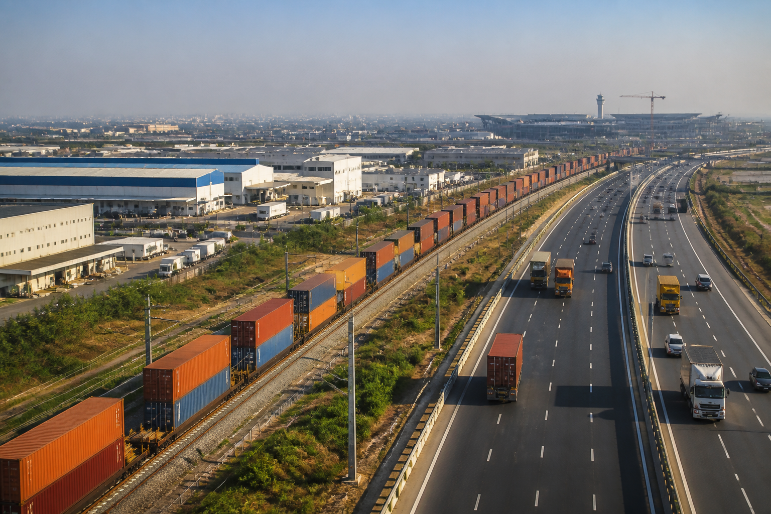
The proposed NCR logistics ring is designed to move industrial and freight activity beyond Delhi and connect warehouses, rail freight, highways, airports and manufacturing zones into a single regional system. Under the draft NCR Regional Plan-2041, Central NCR is being positioned as an integrated industrial and logistics network, with Gurugram at its centre and a wider belt extending across parts of Haryana, Uttar Pradesh and Rajasthan.
The proposal is significant because it treats logistics not as a collection of warehouses but as an organising principle for regional urban development. The reported plan includes modern warehousing, logistics parks, dry ports, inland container depots, air-cargo terminals and multimodal freight hubs. It also proposes changing the land-use classification of warehousing and logistics so that they are treated as industrial activity.
That proposed classification change addresses one of the central constraints in logistics development: the cost and availability of land. The report says the change could reduce land costs for logistics activity and improve the competitiveness of freight movement in the NCR. It also refers to land being reserved for intensive industrial-logistics development and urban regeneration.
The institutional question behind the proposal is whether the NCR can be planned as one connected economic region rather than as a set of separate municipal and state jurisdictions. Freight does not follow city boundaries. A container moving towards Delhi may pass through several districts, use road and rail infrastructure managed by different agencies, and depend on an airport or port located outside the city where the final goods are consumed.
The draft plan’s approach reflects that geography. It identifies Central NCR as a “ring of opportunity” around Delhi and proposes linking manufacturing, storage, freight movement, airports, expressways and dedicated freight rail into one economic system. The language of the proposal is therefore broader than a logistics park announcement: it is an attempt to align land use and transport infrastructure at a regional scale.
The infrastructure already taking shape
The proposal is supported by freight infrastructure that is already operational or under development. The report says the 1,506-kilometre Western Dedicated Freight Corridor between Jawaharlal Nehru Port Trust and Dadri is operational. It also states that more than 443 freight trains are running daily on the Eastern and Western Dedicated Freight Corridors, with double-stack container trains helping accelerate freight movement.
These figures matter because the proposed logistics ring depends on a shift from isolated road-based distribution to a network in which rail, road and air cargo perform different roles. The dedicated freight corridors provide the long-distance rail spine. Peripheral expressways can help route cargo around Delhi. Logistics parks and inland container depots can provide storage, consolidation and customs-related functions. Airports can handle time-sensitive cargo.
The report identifies Nangal Chaudhary in Haryana’s Mahendragarh district as one of the major nodes in this system. Under the Delhi-Mumbai Industrial Corridor, an integrated multimodal logistics hub is being developed across approximately 886 acres. A locomotive trial on the project’s tracks was completed in June 2026, while its external road, electricity and rail connectivity has also been reported as complete.
The importance of this node lies in its intended connection to Haryana’s wider industrial areas. A logistics facility becomes more useful when it is connected directly to production centres and freight infrastructure rather than functioning as a standalone storage estate. The report presents Nangal Chaudhary as an attempt to provide that connection through the DMIC and the freight rail network.
Why the Gurugram-Manesar-Bawal belt matters
The Gurugram-Manesar-Bawal belt is identified as the most important zone in the proposed system. Gurugram is to be linked with Jhajjar, Sonipat, Charkhi Dadri, Ghaziabad, Gautam Buddh Nagar, Bulandshahr, Baghpat and Alwar as part of a major logistics district. The reported plan includes inland container depots, container freight stations and integrated freight complexes in this wider geography.
This proposed geography shows how the logistics ring could change the meaning of proximity to Delhi. Traditionally, proximity to the capital has been measured by distance to the city centre or access to business districts. In a freight-oriented regional plan, proximity also depends on access to expressways, rail terminals, airports, industrial land and distribution markets.
The consequences for urban development will depend on how these facilities are located and connected. The report says the plan proposes both greenfield and brownfield townships within the area enclosed by the Eastern and Western Peripheral Expressways. Existing areas could be redeveloped, while new townships could be planned around industrial and logistics functions. These settlements are also intended to become centres of knowledge-based development.
That combination of freight and knowledge-based activity is important. Logistics zones are often treated as back-office infrastructure, but they require workers, housing, roads, utilities and public services. If townships are planned only around warehouses and industrial plots, the result could be a commuter-dependent landscape. If they are planned as complete urban areas, the infrastructure burden and the distribution of employment may look different. The supplied report does not establish how that balance will be achieved, but it makes clear that the proposed plan links logistics expansion with township development.
Noida airport adds an air-cargo layer
The proposed NCR logistics ring is not limited to rail and road freight. Noida International Airport is described as a key part of the air-cargo network. According to the report, the airport’s first phase is being developed with an investment of Rs 11,200 crore and its multimodal cargo hub is expected to handle 2.5 lakh metric tonnes of cargo annually in the initial phase.
The airport’s role is also tied to a planned connection with southern Delhi, Faridabad and Gurugram. The report states that a 31.42-kilometre corridor is being built at a cost of Rs 3,630 crore to connect these areas with the airport. This link is relevant to the regional logistics model because freight capacity is useful only when cargo can move efficiently between terminals and production or consumption centres.
The proposed network therefore has several layers: dedicated freight rail for long-distance movement, expressways for road distribution, inland container depots for cargo handling, industrial belts for production, and the airport for air freight. The central planning challenge is coordination between these layers. A new terminal or road can add capacity, but the regional system will work as intended only if the timing, location and operating arrangements of each component are aligned.
The land-use decision could shape the outcome
The proposed shift in land-use treatment for warehousing and logistics is one of the plan’s most consequential elements. Designating these activities as industrial could make land acquisition and development more straightforward, while potentially lowering the cost of establishing logistics facilities. The report presents this as a way to make freight costs in the NCR more globally competitive.
But land-use classification also determines what kinds of development can enter an area and how urban authorities plan supporting infrastructure. Industrial recognition may help formalise logistics activity, yet it also places greater importance on decisions about road capacity, electricity, water, drainage, worker housing and environmental management. The report refers to specific land being reserved for industrial-logistics development and urban regeneration, but it does not provide details of the approval process, financing arrangements or safeguards for affected communities.
This is where the proposed logistics ring becomes an urban planning issue rather than only an infrastructure programme. Freight facilities occupy large land parcels and can generate heavy vehicle movement. Their location influences traffic patterns, land values and the expansion of settlements. The choice between greenfield development and redevelopment of older areas will determine whether the new network spreads outward or consolidates existing industrial corridors.
The plan’s emphasis on the area within the Eastern and Western Peripheral Expressways also suggests an effort to manage freight movement around Delhi rather than through its congested core. However, the supplied material does not establish the projected reduction in Delhi traffic or identify the agencies responsible for enforcing freight routes. Those details will be important as the proposal moves from planning language to implementation.
The bigger regional question
The NCR logistics ring is best understood as a test of regional governance. Its stated components cross administrative boundaries and involve different infrastructure systems. Gurugram, Manesar, Bawal, Nangal Chaudhary, Noida, Faridabad and the districts around Delhi do not operate as a single municipality, yet the proposed freight system expects them to function as connected parts of one economic geography.
The evidence in the report confirms that several physical building blocks are already in place or under development: the Western Dedicated Freight Corridor is operational, freight train operations have expanded, the Nangal Chaudhary hub is advancing, and Noida airport is being integrated into the cargo network. What remains less clear is how the draft NCR Regional Plan-2041 will coordinate land use, financing, municipal services and operational responsibilities across the region.
That uncertainty does not reduce the significance of the proposal. It identifies the point at which infrastructure capacity, industrial policy and urban planning are converging. The NCR’s next phase will depend not only on how many logistics facilities are built, but on whether the region can connect them without reproducing congestion, fragmented development and uneven access to urban services. The plan’s implementation framework, land-use decisions and future milestones will determine whether the proposed ring becomes an integrated freight system or a collection of disconnected projects.
