


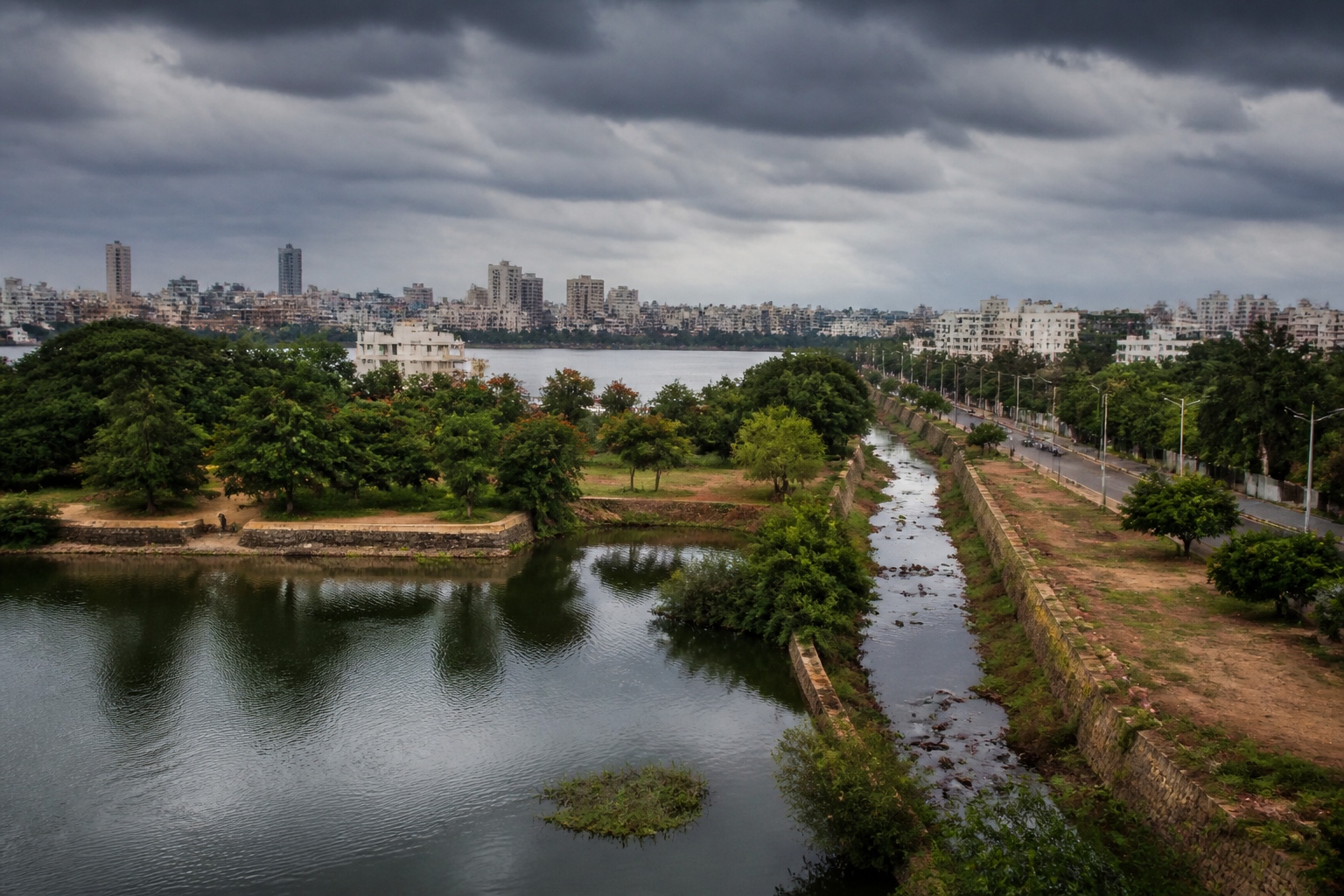
Bengaluru’s water crisis is often described through the language of shortages, distant supply and growing demand. But the city’s older landscape offers a more structural explanation: for centuries, Bengaluru’s lakes and tanks worked as a connected water system, and rapid urbanisation gradually broke the links that made that system useful.
Until around 1960, the Bengaluru plateau had about 560 lakes, according to the Times of India’s account of the city’s history. These were not isolated water bodies scattered across an expanding settlement. They were part of a network shaped by the plateau’s natural drainage patterns. Water could move from one lake to another, while the chain of tanks and lakes helped replenish groundwater in a city that did not have a major river flowing through it.
That history matters because it changes how the city’s lakes should be understood. They were not merely landscape features, recreational spaces or visual markers of Bengaluru’s identity as the “city of lakes”. They were components of urban infrastructure, performing storage, drainage and groundwater functions at a time when the city had to manage water locally.
The system was built around geography. Bengaluru sits on an elevated plateau, and its terrain allowed water bodies to be created along natural valleys and drainage routes. Around 500 years ago, when the settlement was still a small fiefdom, about 80 water bodies were built around it. Their value came not only from their individual capacity but also from their relationship with one another.
This interconnected design provided a decentralised way of managing water. Instead of depending on a single source or a long-distance network, the city used a series of tanks and lakes that received and passed on water through the landscape. The same network also supported groundwater recharge. In practical terms, Bengaluru’s physical form and water system were closely aligned.
That relationship began to change as the settlement expanded. The British establishment of a garrison in the early 19th century produced a city with two distinct parts: the older Pete and the Cantonment. The more consequential transformation came later, during the 20th century, when population growth and expansion of the built-up area placed the historic water network under sustained pressure.
Bengaluru’s population reached one million in 1970 and doubled to two million during the following decade. The scale and speed of this growth altered the demands placed on the city’s water systems. The old lake network had been created for a smaller urban settlement whose roads, buildings and open spaces were organised around natural drainage. A rapidly expanding metropolis required a much larger and more reliable supply system.
The contrast with the earlier period is significant. As late as the 1970s, the city still had a relatively strong water-supply system, with the Times of India reporting that Bengaluru had 24-hour water supply supported by its lakes and tanks as well as the Arkavathi and Kumudvati river systems. That account places the subsequent shift in perspective: the city did not simply lose water bodies; it changed the basic structure through which it obtained and managed water.
The Cauvery water supply scheme changed the equation. As Bengaluru’s population and urban footprint grew, water brought from outside the city became increasingly important. The move towards long-distance supply allowed the metropolis to support expansion beyond the capacity of its traditional local network. It also reduced the centrality of the lakes and tanks in the everyday functioning of the city.
This was not a simple replacement of one source by another. It was a change in the relationship between urban growth and local geography. The lake system depended on water moving through valleys, channels and tanks. The expanding city increasingly depended on water being transported over a distance. The first model was decentralised and terrain-led; the second was network-led and dependent on infrastructure outside the immediate urban landscape.
The physical numbers show the scale of the transformation. When Bengaluru’s population was around two million, the city occupied about 150 square kilometres. By 2011, its population had grown to about 8.5 million and its area had expanded to around 700 square kilometres. The city had therefore grown both denser and wider, while the lake network had not expanded in comparable terms.
That imbalance is central to the story. Buildings, roads and other infrastructure replaced open land and altered the natural pathways through which water once moved. As urban expansion reached into the city’s valleys and drainage routes, the connections between lakes and tanks became increasingly fragmented. The loss was therefore not confined to individual water bodies. The wider system that connected them was also weakened.
A lake can retain water, but a connected lake system performs a larger set of functions. It can receive flows from one part of a catchment, pass water through successive water bodies and support recharge across a wider area. When those links are interrupted, the city loses more than storage capacity. It loses the ability to manage water as a landscape-scale system.
The supplied account does not establish a single date or event at which the network failed. Instead, it describes a gradual process associated with population growth, expansion of the built-up area and the increasing importance of Cauvery water. This distinction is important. Bengaluru’s current water stress cannot be explained only by the disappearance of particular lakes, just as it cannot be addressed only by building more supply infrastructure.
The institutional challenge is to manage water across the full urban system. Lakes, tanks, drainage channels, groundwater and external supply are often treated as separate subjects, but Bengaluru’s history shows that they were once connected through the city’s physical planning. Fragmentation made those relationships harder to preserve and made the city more dependent on infrastructure that carries water from outside.
The shift also exposes the limits of measuring urban water security through supply volume alone. A city may increase its access to imported water while weakening the local systems that absorb rainfall, sustain groundwater and manage flows through its terrain. The historical Bengaluru described in the report relied on a network whose value lay partly in its distribution across the plateau. The modern city relies more heavily on a centralised and distant source.
The population and area figures underline why this transition occurred. A city of about 150 square kilometres and two million people had a different physical relationship with its lakes than a metropolis of around 700 square kilometres and 8.5 million people. But growth also made planning choices more consequential. As roads and buildings spread across natural drainage routes, the cost of severing connections between water bodies increased.
Bengaluru’s lake history therefore raises a broader urban planning question: what happens when expansion treats water landscapes as leftover spaces rather than as part of the infrastructure that makes urban life possible? The report’s account suggests that the city’s older water system was not an accidental collection of scenic lakes. It was a planned response to terrain, rainfall and the absence of a major river.
The city’s transformation from a lake-supported settlement to a water-stressed metropolis is consequently a story about infrastructure choices as much as about population growth. Long-distance supply became increasingly important because the city grew beyond the scale of its traditional systems. At the same time, urbanisation fragmented the local network that had supported groundwater and moved water through the plateau.
What the evidence confirms is a clear historical direction: Bengaluru moved from a decentralised, interconnected lake-and-tank system towards greater dependence on water transported from outside the city. What it does not establish in the supplied material is the present condition of each lake, the current extent of groundwater recharge or the precise contribution of the historic network to today’s water supply. Those questions require separate, current assessments.
The enduring lesson is nevertheless clear. Bengaluru’s water challenge is not only about finding more water for a growing population. It is also about how the city’s expansion changed the landscape systems that once helped store, circulate and replenish water locally. Any account of the metropolis’s water future must therefore begin with the connections that urbanisation broke, not only the distant sources that now sustain it.
