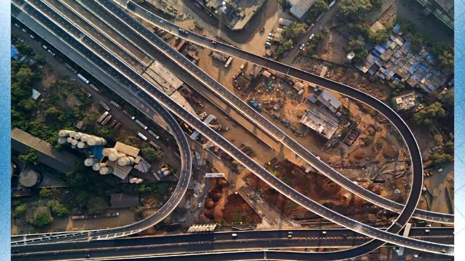
The Mumbai Metropolitan Region is set for a broader road-network redesign, with two additional ring routes proposed across Mumbai, Thane and Navi Mumbai. Together, the corridors would span about 307 km by stitching existing roads with major projects under construction or planning. The strategy could reshape how freight and longer-distance traffic moves around the region, while reducing pressure on roads within established urban areas. The proposed additions would take the metropolitan ring-road network to nine routes. Unlike conventional highway projects, the two new loops are not planned as entirely new roads. Instead, they would combine existing infrastructure with elevated links, tunnels, coastal roads, expressways and new connectors to create longer continuous journeys around the metropolitan area.
The larger of the two proposed routes would cover about 197 km. It would connect Sewri with Thane, Navi Mumbai and the Jawaharlal Nehru Port region before returning to Mumbai through the Mumbai Trans Harbour Link. The alignment would use sections of the Eastern Freeway and its extension, the Anand Nagar-Saket elevated road, Mumbai-Vadodara Expressway and NH 4B. This route has a significant economic dimension. Better links between Thane, Bhiwandi, Navi Mumbai and major freight gateways could shorten cross-region trips and provide alternatives to heavily congested city roads. For logistics operators, reliability can matter as much as distance because unpredictable travel times raise fuel, labour and inventory costs. The second proposed loop would cover roughly 110 km, creating a wider circuit from Nariman Point along Mumbai’s western coastline towards Borivali and then into Thane. It would draw on the coastal road network, sea links, the Thane-Borivali tunnel and eastern corridors before returning towards South Mumbai through the proposed Orange Gate tunnel.
The Mumbai ring road network is being designed around access-controlled movement, with a planned design speed of 80 kmph and restricted entry and exit points. Some sections are expected to be tolled. However, the network cannot operate as a seamless system until several constituent projects are completed and the connecting ramps, junctions and interchanges are built. That dependency is also the project’s biggest implementation challenge. The infrastructure involves multiple agencies and projects at different stages, while the cost of creating the missing links is still being assessed. Any additional widening of existing corridors will depend on engineering feasibility, available road space and traffic studies. Urban transport experts say the Mumbai ring road network could help separate through-traffic from local journeys, but capacity expansion alone will not guarantee lower congestion. Demand can rise when new road space becomes available, while high-speed corridors can encourage longer-distance car and freight movement.
The 2029 target will therefore depend on coordination across agencies, disciplined land and construction planning, and safeguards for pedestrians, neighbourhoods and environmentally sensitive areas. The effectiveness of the strategy will ultimately be measured not by kilometres built, but by whether it makes regional travel more reliable without adding disproportionate environmental and social costs.