


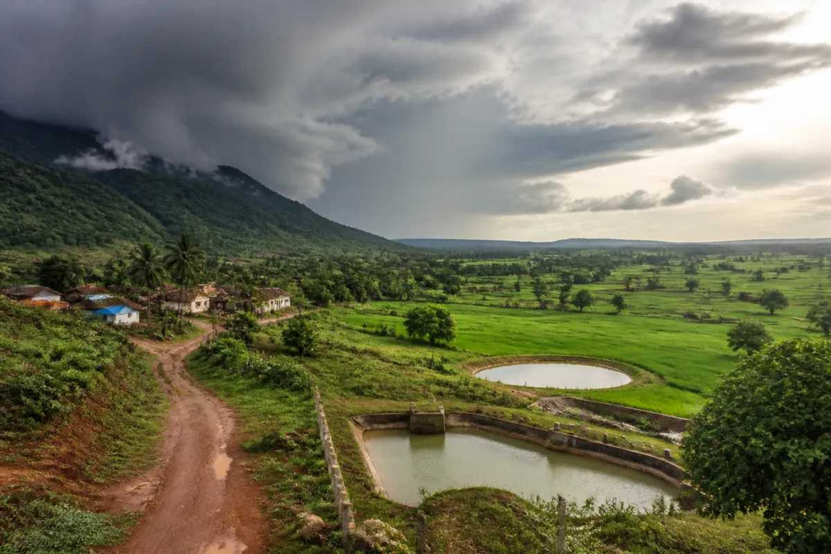
A study of 120 years of rainfall data points to a major Karnataka rainfall shift: the coastal belt and Western Ghats are receiving less rain, while northern and southern interior districts are recording an increase in monsoon precipitation. The change could reshape agriculture, water storage and climate planning across a state whose cities and rural economy already depend on an uneven and highly seasonal water system.
The findings, reported after the release of a study by agrometeorologists from Bengaluru, are based on rainfall data from 1901 to 2020 and projections extending to 2035. According to the report, coastal Karnataka and the western slopes of the Ghats have recorded a 10-15% decline in annual rainfall, while interior districts have gained an additional 100-200 mm of monsoon rain. The study describes this not as a uniform increase or decrease, but as a geographical redistribution of rainfall across the state.
That distinction is central to understanding the implications. Karnataka’s average annual rainfall is reported to have increased from 1,140 mm during 1900-1950 to 1,218 mm during 1980-2000, while average temperatures rose by 1.5 degrees Celsius. A higher state-wide average, however, does not mean that every region is receiving more water or that water security has improved everywhere. The study’s evidence suggests that the location, timing and intensity of rainfall are changing at the same time.
For Karnataka’s coastal districts and the Western Ghats, a decline in rainfall could affect stream flows, groundwater recharge, forest ecosystems and agriculture. For the interior, additional monsoon precipitation could create new opportunities for farming and horticulture, but only if the water can be stored and used between rainfall events. More rain does not automatically translate into reliable water availability. It can also increase runoff, erosion, flooding and pressure on reservoirs if local drainage and storage systems are inadequate.
The study attributes the changing pattern to the movement of moisture-laden monsoon clouds across the Western Ghats. It states that nearly 75% of clouds arriving from the Indian Ocean through the Arabian Sea release their moisture over the coastal belt and western slopes, while the remaining 25% cross the mountain range towards the plains.
Prof Rajegowda, a former professor of agrometeorology at the University of Agricultural Sciences, Gandhi Krishi Vigyan Kendra, Bengaluru, explained the shift through the orographic effect. According to his explanation, rising temperatures over land and in the atmosphere cause clouds held along the western slopes to expand, lose density and rise higher. Subsequent cloud formations are then pushed towards the eastern side of the Ghats, allowing more rain-bearing clouds to reach the interior.
The evidence presented in the study therefore connects three changes: rising temperatures, altered cloud movement and a redistribution of monsoon rainfall. It does not suggest that the Western Ghats have ceased to perform their role in shaping Karnataka’s climate. Rather, it indicates that warming conditions may be changing how that role operates and where precipitation is ultimately released.
The agricultural data adds another layer to the story. The area under agriculture is reported to have nearly doubled, from 50-60 lakh hectares in the 1950s to 100-105 lakh hectares in 2020. Agricultural production rose from 40-50 million tonnes to 130-135 million tonnes over the same period. Horticulture also expanded, reaching 22-24 lakh hectares of cultivated area and 180-185 million tonnes of production in 2020, according to the study.
These figures show that Karnataka’s farming system has expanded alongside the changing rainfall pattern. They do not, by themselves, establish that increased rainfall caused the growth in cultivated area or production. Agricultural output is shaped by several factors, including land use, irrigation, crop choices, technology and market conditions. But the overlap is important because a changing rainfall geography can influence where cultivation expands, which crops are viable and how much pressure is placed on local water systems.
For interior Karnataka, the additional 100-200 mm of monsoon rainfall could improve water availability if it is captured through tanks, farm ponds, recharge structures and reservoirs. The study’s authors have cautioned that the additional rainwater must be harvested and used judiciously if agricultural growth is to be sustained. This shifts the policy question from whether the state is becoming wetter or drier to whether its institutions can capture rainfall where it is arriving and make it available when it is needed.
That is a significant governance challenge because Karnataka’s water infrastructure is divided across multiple scales. Rainfall is experienced locally, but major storage and river-basin decisions involve state-level agencies. Agricultural choices are made by farmers, while urban demand is managed by local authorities and water utilities. The study calls for micro-level research, recognising that state averages can conceal substantial differences between districts, watersheds and settlements.
The same rainfall change has different meanings for cities and rural areas. Interior towns and cities may see improved recharge opportunities in some locations, but they may also face intense runoff and flooding if built-up areas have inadequate drainage. Rapid urbanisation can prevent rain from infiltrating the ground, even when total rainfall increases. Roads, layouts, industrial areas and housing construction can alter natural drainage paths, turning short-duration heavy rain into a civic emergency.
The supplied study does not provide city-level rainfall or drainage data, so it cannot establish how Bengaluru or any specific urban area will be affected. It does, however, make clear why district-level and micro-level planning matters. A state-wide increase in average rainfall cannot be used as a substitute for local assessments of recharge, flood risk, reservoir levels, soil conditions and water demand.
The projections to 2035 indicate that the geographical divergence may continue. Rainfall over the coastal belt and western slopes is projected to decline, while interior Karnataka is expected to receive more monsoon showers. The state’s average annual rainfall is projected to reach 1,235 mm between 2020 and 2035, compared with 1,218 mm during 1980-2020. The difference in the state-wide average is relatively modest compared with the reported regional changes, reinforcing the point that distribution may be more important than the aggregate number.
Climate projections are not operating instructions for land-use change. They are evidence for planning under uncertainty. The study’s projections need to be read alongside local observations and updated as new rainfall data becomes available. The report itself calls for micro-level research, which suggests that broad state-level patterns are an initial planning signal rather than a complete operating map for agriculture, infrastructure or urban development.
The Western Ghats remain a critical institutional question in this debate. Prof Rajegowda has argued that recommendations of the Gadgil and Kasturirangan committees need not be implemented exactly as proposed or made binding, particularly because the regions examined by the committees are experiencing a gradual decline in rainfall. That position is part of the reported discussion, but rainfall decline alone does not settle the wider question of ecological protection. The study’s rainfall findings address changing precipitation patterns; they do not, on the evidence supplied, provide a full assessment of biodiversity, landslide risk, groundwater systems, land-use change or the cumulative effects of development in the Ghats.
This distinction matters for policy. A reduction in rainfall does not necessarily mean that ecological safeguards have become less important. The Western Ghats influence water movement, soil stability and river systems even when rainfall varies. At the same time, interior districts receiving more rain cannot assume that agricultural expansion will remain sustainable without storage, soil management and local water planning. Climate adaptation cannot be reduced to moving cultivation or infrastructure towards areas where a study projects more precipitation.
The data instead points towards a more distributed approach to water governance. Coastal and Western Ghats districts may need to plan for declining rainfall and changing recharge conditions, while interior districts may need to strengthen systems that capture, distribute and safely drain additional monsoon water. Both regions face risks if planning responds only to annual totals. The timing of rain, the duration of dry periods and the intensity of individual events will determine how useful or disruptive the change becomes, but the supplied report does not provide those detailed measurements.
Karnataka’s agricultural expansion also raises a capacity question. More cultivated land and higher production increase the value of reliable water, but they can also increase demand in places where groundwater and surface storage are already under pressure. If additional monsoon rainfall is not retained, it may leave the region as runoff while demand continues through the dry season. Conversely, poorly designed storage and drainage can create local flooding, waterlogging or downstream impacts.
The larger urban question is whether Karnataka can treat rainfall as a connected regional system rather than as a series of isolated municipal or agricultural problems. Water entering the Western Ghats, moving through catchments and reaching interior plains does not respect administrative boundaries. Decisions on forests, farming, reservoirs, tanks, groundwater, roads and urban layouts therefore interact even when they are taken by separate departments.
What the study confirms is a long-term change in Karnataka’s rainfall geography: coastal and Western Ghats areas have recorded reported declines, interior districts have gained monsoon rainfall, average temperatures have risen, and projections to 2035 indicate that the divergence may continue. What remains uncertain from the supplied evidence is how the change varies at the district and city level, how much rainfall arrives as usable recharge, and how extreme events are changing.
Those questions should determine the next phase of research and planning. The immediate institutional task identified by the study is to undertake micro-level assessment and improve the harvesting and utilisation of additional rainwater in the interior, while accounting for declining rainfall and ecological sensitivity in the Western Ghats. Karnataka’s future water map will depend not only on where the monsoon goes, but on whether public systems are designed to follow it.

