


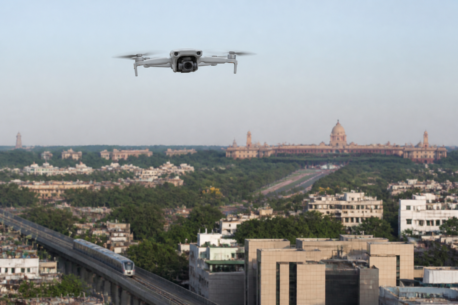
India’s drones are no longer confined to specialist operators or government projects. They are now used at weddings, farms, construction sites, real estate shoots and social-media productions. That rapid spread is creating a new urban governance problem: the technology has entered ordinary public life faster than public understanding of the rules governing it.
A report by NDTV Business says India had nearly 40,000 registered drones and a similar number of DGCA-certified remote pilots as of February 2026. It also reported 244 approved drone training schools. The figures point to an expanding ecosystem of operators, manufacturers, trainers and commercial users. They also show why drone regulation is no longer only a matter for aviation specialists or security agencies.
The central issue is that a drone flight can appear informal while still intersecting with highly regulated airspace. A wedding videographer may see a camera platform. A farmer may see an agricultural tool. A real estate company may see a way to market a property. Authorities, however, must also consider whether the same aircraft is near an airport, military facility, border, Parliament or another sensitive location.
That difference in perspective is at the heart of India’s drone challenge. The technology is easy to deploy, but the airspace around cities and critical infrastructure is not an open field. The report describes India’s airspace as divided into green, yellow and red zones, with different requirements for each category.
Green zones generally cover areas where flights can take place without seeking prior permission, subject to applicable conditions. The report says flights can operate up to 400 feet in such areas when the drone is registered. Yellow zones cover controlled airspace, including areas near airports, city centres and other sensitive corridors. Permission through the Digital Sky platform is required before flying in these areas. Red zones include international borders, military installations, Parliament and other high-security locations, where flights require explicit government clearance.
The practical difficulty is that these zones are not necessarily permanent. Temporary restrictions can be introduced during elections, cricket matches, visits by dignitaries and national holidays. An area that appeared available for flight at one point may therefore face a different restriction later. For operators, this makes checking the Digital Sky map immediately before every flight more important than relying on a previous visit or an assumption that local conditions have not changed.
This is where the regulation of drones becomes a question of urban information systems. Compliance depends not only on written rules but also on whether operators can access, interpret and act on current information. A casual user may buy a drone online, take it to a wedding venue or open space and assume that physical access to the location means permission to use the airspace. The report suggests that this assumption can expose users to penalties, confiscation and restrictions on future registration, with imprisonment possible in serious cases.
The challenge does not end when an unauthorised drone is detected. According to Amardeep Singh, founder and chief executive of counter-drone technology company Armory, authorities must determine where the aircraft is, where it came from, how it is moving and, as far as possible, who is operating it. Detection is therefore only the beginning of the response.
The technology involved reflects the complexity of the problem. The report says authorities use tools such as radio-frequency sensing to identify signals and Drone ID systems, where available, to trace an aircraft to its operator. But Drone ID is not universal, meaning that a complete digital record may not always be available. Drones can also change altitude, alter their flight path and, in some cases, change how they communicate when they encounter interference.
These features make intent difficult to assess. An aircraft that accidentally crosses into restricted airspace is not necessarily equivalent to one deliberately approaching a sensitive facility. Yet that distinction may not be immediately visible to a sensor or an operator monitoring the flight. Singh said artificial intelligence and machine learning can help analyse signals and flight behaviour more quickly, but technology cannot reliably determine intent in every situation.
The response model described in the report is consequently layered: detect, track, identify and assess before deciding what action should follow. That sequence is particularly important in crowded urban areas. Shooting down an unidentified aircraft over a public gathering could create a separate safety risk, even if the drone itself is unauthorised. The final decision, the report says, remains with trained human operators rather than machines alone.
This places drone governance at the intersection of aviation regulation, public safety, policing and critical-infrastructure protection. A city authority or security agency must be able to distinguish between a lost recreational aircraft, a commercial operator that failed to check a temporary restriction and a deliberate intrusion. Those cases may involve the same visible object but require different responses.
India is also seeking to build domestic counter-unmanned-aircraft systems, with increasing attention to threat classification and behavioural analysis. The supplied report does not provide details of specific programmes, budgets or deployment locations. It does, however, indicate that the country’s response is moving beyond the simple question of whether a drone is present. The larger concern is how quickly institutions can understand its behaviour and identify the appropriate response.
The regulatory burden on operators begins before take-off. The report says drones weighing more than 250 grams must be registered and receive a Unique Identification Number through the Digital Sky platform. It also says a Remote Pilot Certificate is required for flights involving anything above the nano category or for commercial operations. Operators must check the zone map before every flight and should not assume that a green classification will remain unchanged.
Those requirements create a compliance problem because the drone market includes users with very different levels of expertise. A professional operator may understand registration, permissions and pilot certification. A family member filming a wedding or a small business creating a promotional video may approach the same activity as a casual purchase. The regulatory system must therefore reach beyond aviation professionals if it is to work in everyday settings.
The cost of the equipment adds another layer to the issue. NDTV Business cited entry-level products such as the DJI Mini 2 SE at about Rs 46,500, the DJI Mini 4 Pro at about Rs 99,999 and the DJI Air 3 at about Rs 1,35,500. These prices do not include registration, training or insurance, particularly when a user intends to operate commercially. The availability of relatively accessible equipment means that the pool of potential operators can expand even when formal awareness remains limited.
The resulting mismatch is not simply between citizens and the law. It is also between the speed of consumer technology and the capacity of public institutions to communicate changing restrictions. Temporary airspace controls may be necessary around major events, but their value depends on timely publication, clear mapping and operator compliance. Enforcement after an incident cannot replace information before a flight.
The evidence in the supplied report confirms several features of the emerging problem: drone ownership and professional use are expanding; Indian airspace is divided into operational zones; restrictions can change temporarily; detection technology does not always identify an operator; and human assessment remains necessary when intent is unclear. It does not establish how frequently violations occur, how many prosecutions have followed, or how effectively the current system prevents unauthorised flights across different cities.
Those unanswered questions matter because drone use is becoming part of the built environment’s everyday visual and operational layer. Drones document buildings, inspect land, support agriculture, produce commercial images and move through spaces that residents traditionally regarded as open. At the same time, airports, military sites, government buildings and public gatherings require controlled access to the air above them.
India’s drone rules are therefore being tested not only by the number of aircraft in the sky but by the diversity of people using them. The immediate compliance lesson is straightforward: registration, certification where required and a fresh Digital Sky check before each flight. The broader governance question is whether public information, airspace mapping, detection systems and institutional response can develop at the same pace as adoption. The next developments to monitor are changes to zone restrictions, the expansion of Drone ID coverage and the deployment of domestic counter-drone capabilities.
