


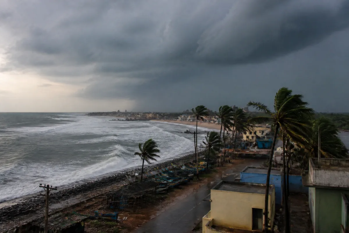
Cyclone Murasu is moving towards the south Andhra Pradesh coast and is likely to cross between Nellore and Narsapur, close to Ongole, between late November 2 and the early hours of November 3, the India Meteorological Department (IMD) said. The severe cyclonic storm is expected to bring winds of 100-110 kmph, with gusts reaching 120 kmph, along with heavy to very heavy rainfall in parts of coastal Andhra Pradesh and Rayalaseema.
The storm was centred about 260 km east-northeast of Chennai and 290 km east-southeast of Nellore at 2.30am on November 2. It was moving northwestwards at around 20 kmph over the west-central and adjoining southwest Bay of Bengal. The IMD forecast that Murasu would continue on the same track before reaching the Andhra Pradesh coast.
The strongest impact is expected in Andhra Pradesh, where heavy rainfall and gusty winds are forecast over coastal areas and Rayalaseema. Rayalaseema may also receive thunderstorms and winds of 30-40 kmph, with gusts reaching 50 kmph. The forecast places the coastal landfall window between 11.30pm on November 2 and 4am on November 3.
The weather system is also affecting forecasts across several other parts of India. Odisha is likely to receive heavy rainfall at isolated places on November 3, while very heavy rainfall is possible in isolated areas on November 2. Rayagada district has been placed under an orange warning for November 3 and 4. Telangana may experience thundersqualls with wind speeds of 50-60 kmph and gusts up to 70 kmph.
Rainfall and thunderstorms are also expected in parts of Tamil Nadu, Puducherry, Kerala, Karnataka, Maharashtra, Madhya Pradesh, Chhattisgarh, Uttar Pradesh and Bihar. Coastal Karnataka is likely to receive rain over the next few days, while South Interior Karnataka may see heavy rainfall on November 3. Tamil Nadu is expected to receive rainfall in parts of the state, with isolated heavy showers forecast on November 3 and continued rain on November 4.
In central and western India, the IMD attributed rainfall activity to a trough extending from the east-central Arabian Sea along the Maharashtra coast towards a cyclonic circulation over north Chhattisgarh and adjoining east Madhya Pradesh. The trough passes across Konkan and Goa, Madhya Maharashtra, Marathwada and Vidarbha, influencing weather conditions across these regions.
Delhi is likely to see partly cloudy skies over the next few days, but no rainfall warning has been issued for the national capital. Punjab and Haryana are also expected to remain largely dry. In the northeast, isolated heavy rainfall is forecast in Arunachal Pradesh, while Assam and Meghalaya may experience thunderstorms, lightning and heavy rain on November 3.
The IMD has also forecast light to moderate rainfall in Himachal Pradesh under the influence of a Western Disturbance. Higher-altitude areas, including Kinnaur, Shimla and Lahaul-Spiti, may receive light snowfall, while temperatures in the plains and mid-hill districts are expected to rise by 2-3 degrees Celsius over the following week. The next major weather milestone is Cyclone Murasu’s expected coastal crossing between late November 2 and early November 3.

