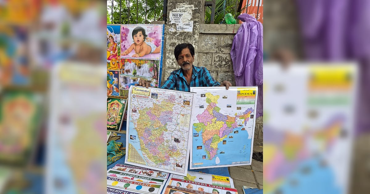
Bengaluru Map Sellers Fade As Navigation Goes Digital
Bengaluru’s once-familiar paper-map sellers are becoming increasingly difficult to find as smartphones and digital navigation replace printed road guides. The quiet decline of this small urban trade reflects a broader transformation in how residents understand and move through the city, while also putting a disappearing piece of Bengaluru’s street-level commercial culture at risk.
For decades, printed maps offered residents and visitors a physical overview of Bengaluru’s roads, neighbourhoods and landmarks. They were useful to motorists, newcomers and businesses before smartphones made turn-by-turn navigation widely accessible. Today, digital mapping platforms can provide live traffic information, route changes and location searches within seconds, leaving little practical reason for many travellers to purchase a paper map. The decline is particularly significant in a city that has expanded rapidly beyond its traditional core. Bengaluru’s road network now extends across a much larger metropolitan area, with new residential layouts, technology corridors, flyovers, metro lines and peripheral development continually changing the urban landscape. That pace of change has also made printed maps harder to maintain. A physical map can quickly become outdated when a new road opens, a junction is redesigned or a metro corridor alters traffic movement.
Digital navigation services, by comparison, can update routes and points of interest far more frequently. Yet paper maps offer something digital tools do not: a complete visual picture of the city. Urban planners and mobility researchers have long used physical maps to understand spatial relationships, land-use patterns and neighbourhood connections. For residents, they can also encourage a broader awareness of the city rather than focusing only on the next turn. The disappearance of map sellers therefore raises a cultural as well as commercial question. Small businesses built around specialised urban knowledge often disappear quietly when technology changes consumer behaviour. Their decline may not create an immediate civic problem, but it contributes to the loss of informal services and knowledge that once helped people navigate Bengaluru. There is also a resilience dimension. Digital navigation depends on smartphones, electricity, connectivity and functioning digital services. Paper maps cannot provide live traffic updates, but they remain usable during connectivity disruptions and can offer an independent reference during emergencies or unfamiliar journeys.
The changing map market ultimately mirrors Bengaluru’s wider evolution from a city navigated through landmarks, paper guides and local knowledge to one increasingly understood through digital platforms. As the old trade fades, preserving historical maps and documenting the city’s changing geography could help retain a record of how Bengaluru grew—and how its residents once found their way through it.