


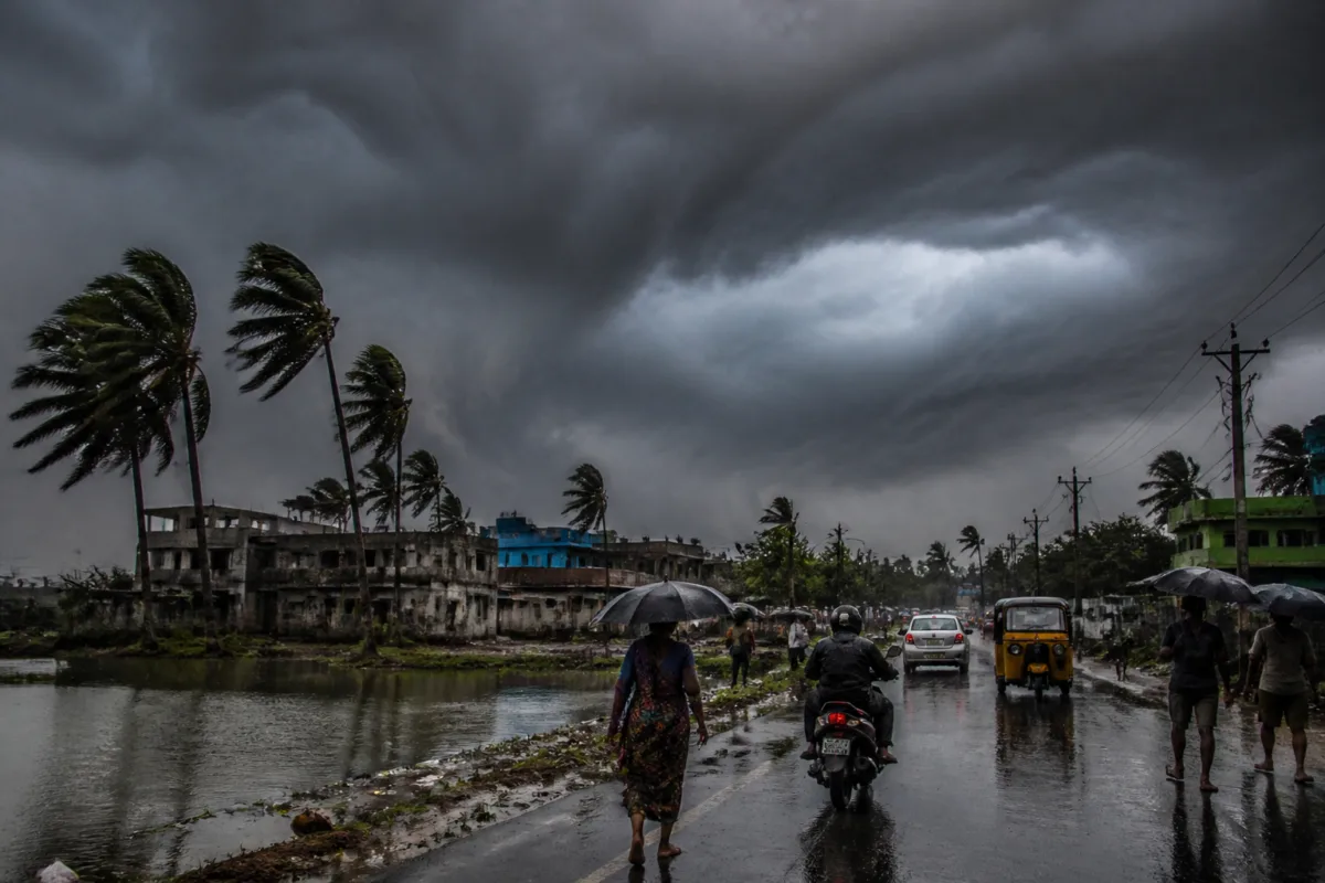
Odisha is likely to experience increasing cyclone-related weather impacts from November 18, with heavy rain forecast on November 19 and 20 as the system is expected to cross the coast between Nellore and Tuni by midday on November 20, according to India Meteorological Department Director General Mrutyunjay Mohapatra.
The cyclone could bring sustained winds of 120 to 130 kilometres per hour during landfall, with gusts reaching up to 145 kilometres per hour, Mohapatra said, as reported by The Samaja. The forecast places the system’s likely landfall zone along the Andhra Pradesh coast, but indicates that its effects will extend into Odisha.
Odisha may receive light to moderate rainfall on November 18, followed by an increase in rainfall intensity on November 19 and November 20. Heavy rain is expected in parts of the state, although the IMD chief indicated that extremely heavy rainfall was not currently likely.
The rainfall outlook covers southern Odisha as well as the districts of Balasore, Bhadrak and Mayurbhanj, according to the report. The spread of the forecast area means that the weather system could affect both coastal districts and inland locations, with implications for roads, local transport, power networks, drainage systems and communities dependent on outdoor work.
The forecast comes as authorities and residents monitor the cyclone’s expected movement and intensity. High winds of the projected strength can affect exposed structures, roadside infrastructure, electricity distribution equipment and transport operations. Heavy rainfall can also place pressure on urban drainage and road networks, particularly in locations where waterlogging or access disruptions develop quickly.
Mohapatra’s comments provide a current assessment of the system’s likely track, timing and intensity, but the final impact on individual districts will depend on subsequent weather bulletins and changes in the cyclone’s movement. The report did not identify the system by name or provide district-level warning categories.
The IMD director general also said that the Bay of Bengal generally produces around three cyclones during October and November. The current system would be the third cyclone of this period, according to the report. That seasonal context underlines the importance of continued monitoring during a period when Odisha’s coastal and southern districts remain exposed to cyclone-related rain and wind.
Residents in coastal and other affected districts have been advised to remain alert to official updates. The immediate next steps are expected to include further IMD bulletins on the system’s track, landfall timing, wind intensity and district-wise rainfall risk as November 18 approaches.

