


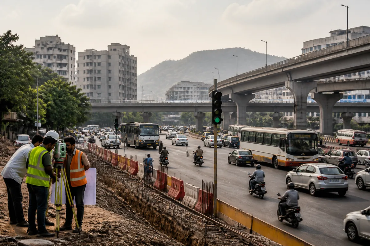
Pune Municipal Corporation has approved the appointment of expert consultants to study two proposed underground road corridors covering 31 km between Bhosari, Undri, Bhugaon and Erandwane. The corridors are part of the state government’s Patal Lok initiative and will now undergo detailed technical, financial, environmental and traffic assessments before any construction decision is taken.
Municipal Commissioner Naval Kishore Ram has cleared the consultant appointment for preparing feasibility assessments and Detailed Project Reports. The proposals are intended to create alternative links between parts of Pune and its expanding outskirts that currently face heavy traffic pressure.
The longer corridor, measuring approximately 23 km, is proposed between Bhosari and Undri. Its indicative alignment would pass through Sangamwadi, Dhobighat in the Pune Cantonment area and Kondhwa before reaching Undri. The route is being examined as a possible direct connection between the northern and southern parts of the Pune metropolitan region.
The second corridor would cover around 8 km between the Ram River area in Bhugaon and DP Road in Erandwane. The proposed alignment includes the Ram River stretch and Dukkarkhind and is intended to provide an alternative route for western Pune, where geography limits road connectivity.
The preliminary assessment used mobility information from TomTom origin-destination data, Google’s real-time traffic intelligence, Comprehensive Mobility Plan inputs and travel-pattern studies. Traffic police data was also considered while examining movement across major junctions and existing road connections. The assessment identified gaps between important transport corridors and locations where additional links could help distribute vehicle movement.
The proposed underground roads are being evaluated as part of Pune’s wider transport network rather than as standalone projects. Consultants will study their links with the High-Capacity Mass Transit Route, Inner Ring Road, Outer Ring Road, existing and proposed flyovers, river bridges and proposed Metro corridors of Maha Metro and the Maharashtra State Infrastructure Development Corporation. The broader mobility planning work may also examine coordination between Metro services and bus routes.
Implementation would require coordination among several authorities because the proposed alignments extend across areas administered by Pune Municipal Corporation, Pimpri-Chinchwad Municipal Corporation, cantonment boards and the Ministry of Defence. This institutional complexity will form part of the detailed assessment along with environmental scrutiny and project financing.
The two corridors remain at the planning stage. The final decision on whether to construct them will be taken only after the feasibility studies and Detailed Project Reports establish their technical and financial viability. Their possible connections with future road and transport projects, including the proposed international airport at Purandar, will also depend on how the surrounding network develops.

