


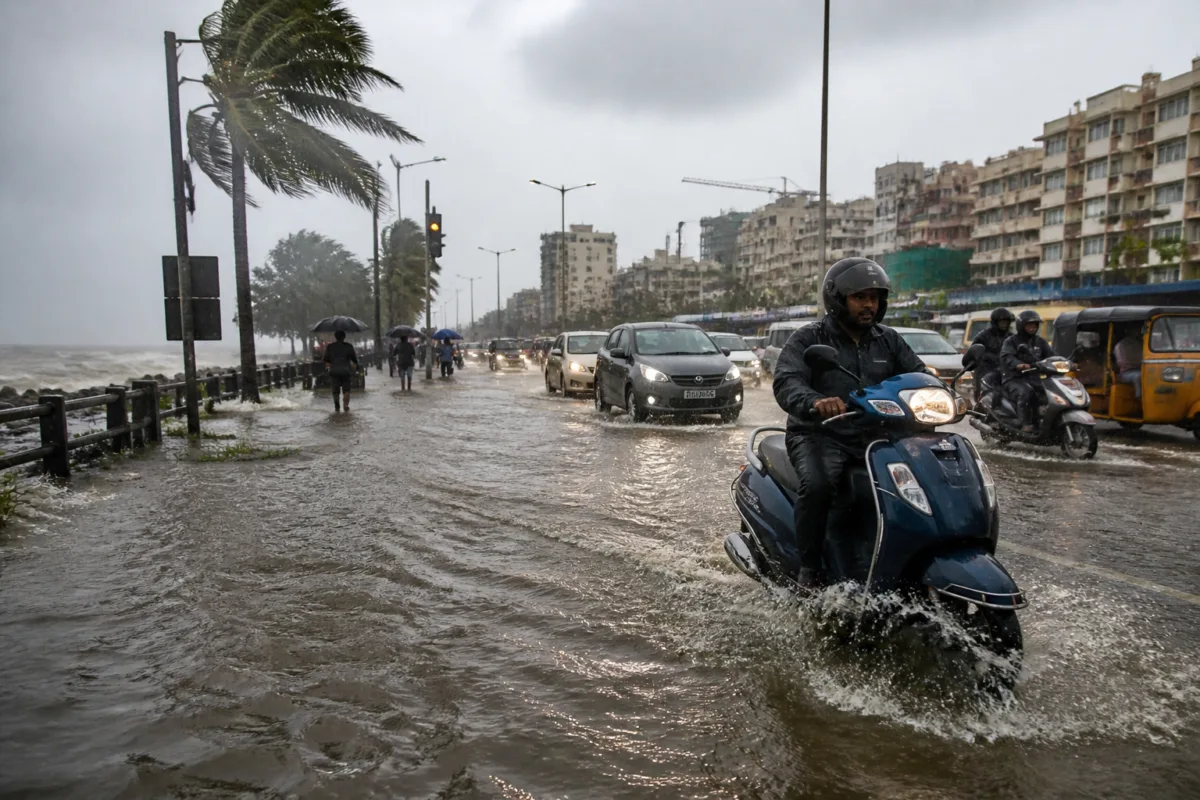
Cyclone Murasu brought heavy rain to Vijayawada early Tuesday, waterlogging major roads and disrupting movement as the severe cyclonic storm continued its landfall along the south Andhra Pradesh coast. The India Meteorological Department (IMD) has forecast gale winds of 100-110 kmph, gusting up to 120 kmph, during the landfall process.
Rain began late Monday night and continued into the early hours of Tuesday, affecting several parts of the city. Continuous showers left stretches of Bandar Road and Polyclinic Road waterlogged, while movement was also disrupted in parts of One Town.
The flooding on these routes has created difficulties for commuters during the early hours, when the city’s road network is handling daily movement. The report did not provide details of traffic diversions, road closures, injuries or damage to public infrastructure in Vijayawada.
In its latest update, the IMD said that a major part of Cyclone Murasu’s wall cloud had moved over land and that the cyclone’s eye was entering the coast. The landfall point was identified as being between Nellore and Narsapur, close to Ongole. The landfall process was expected to continue for another two hours at the time of the update.
The weather department said winds of 100-110 kmph, with gusts reaching 120 kmph, were expected along and off the coast during landfall. Similar wind speeds were likely to continue until the morning, increasing the risk of disruption across exposed coastal areas.
The IMD also forecast a storm surge of around 1.0-1.5 metres above the astronomical tide. The surge was expected to inundate low-lying areas of south coastal Andhra Pradesh until the morning of November 3. Bapatla, along with Krishna and Prakasam districts, was expected to experience the highest peak surge before conditions gradually eased.
For Vijayawada, the immediate impact reported so far has been concentrated on road waterlogging and movement disruption. The city’s location in the Krishna region places it within the broader area identified by the IMD for heavy rainfall and storm-related impacts, although the supplied report does not establish the extent of flooding in residential areas or damage to buildings and utilities.
The IMD forecast heavy spells of rainfall along the south Andhra Pradesh coast during the following 12 hours. With the landfall still underway and strong winds expected to persist through the morning, road conditions and travel across affected parts of the city and coastal districts remained subject to continuing weather disruption.

