


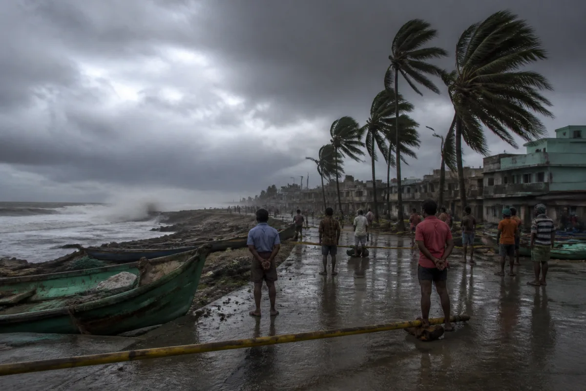
Cyclone Murasu made landfall near Ongole on the Andhra Pradesh coast early on November 3, bringing winds of 100 to 110 kmph with gusts reaching 120 kmph and prompting red warnings across several coastal and adjoining districts, the Andhra Pradesh Meteorological Department said.
The severe cyclonic storm crossed the south coastal Andhra Pradesh coast between 3.30 am and 5.30 am, according to department director K Nagaratna. Speaking in Vijayawada, she said the system had formed over the Bay of Bengal and was moving north-northwestwards at about 8 kmph during the preceding six hours.
At the time of the update, the cyclone was located close to Ongole and the landfall process was expected to continue for another one to two hours. Nagaratna said the system was about 30 km from Ongole, 50 km from Kavali, 70 km from Bapatla, 100 km from Nellore and 140 km from Machilipatnam.
Red warnings were issued for Krishna, Guntur, Bapatla, Palnadu, NTR and Prakasam districts. The department warned that coastal Andhra Pradesh would receive light to moderate rainfall in most places, while heavy to very heavy rain was likely in a few locations. Extremely heavy rainfall was expected at one or two places in central coastal Andhra Pradesh.
The warning covers more than the immediate landfall zone because cyclone impacts extend inland through rainfall, wind damage and disruptions to transport, power, communications and local services. District authorities in the affected areas have been asked, through the weather warnings, to remain vigilant as the system moves north-northwestwards.
Fishermen have been advised not to venture into the sea until the morning of November 4. Nagaratna also said offshore and onshore operations had been suspended until the warnings were reviewed. The restriction is intended to prevent exposure to dangerous sea conditions while strong winds and the cyclone’s associated weather continue.
A storm surge of about 1 to 1.5 metres above the astronomical tide was forecast to inundate low-lying coastal areas of southern Andhra Pradesh through the morning of November 3. The highest surge was expected in the Bapatla region, between the Krishna and Prakasam districts, before gradually weakening.
The surge warning is particularly significant for settlements and infrastructure in low-lying coastal areas, where seawater can enter inland locations through open shorelines, canals and drainage systems. The department’s warning indicates that the immediate risk was not limited to wind speeds around the cyclone’s centre but also included coastal inundation and intense rainfall.
Nagaratna urged residents and fishing communities to follow updates from the India Meteorological Department and subsequent official advisories until the cyclone weakened. The weather department’s next reviews will determine how long marine and coastal operating restrictions remain in force.

