


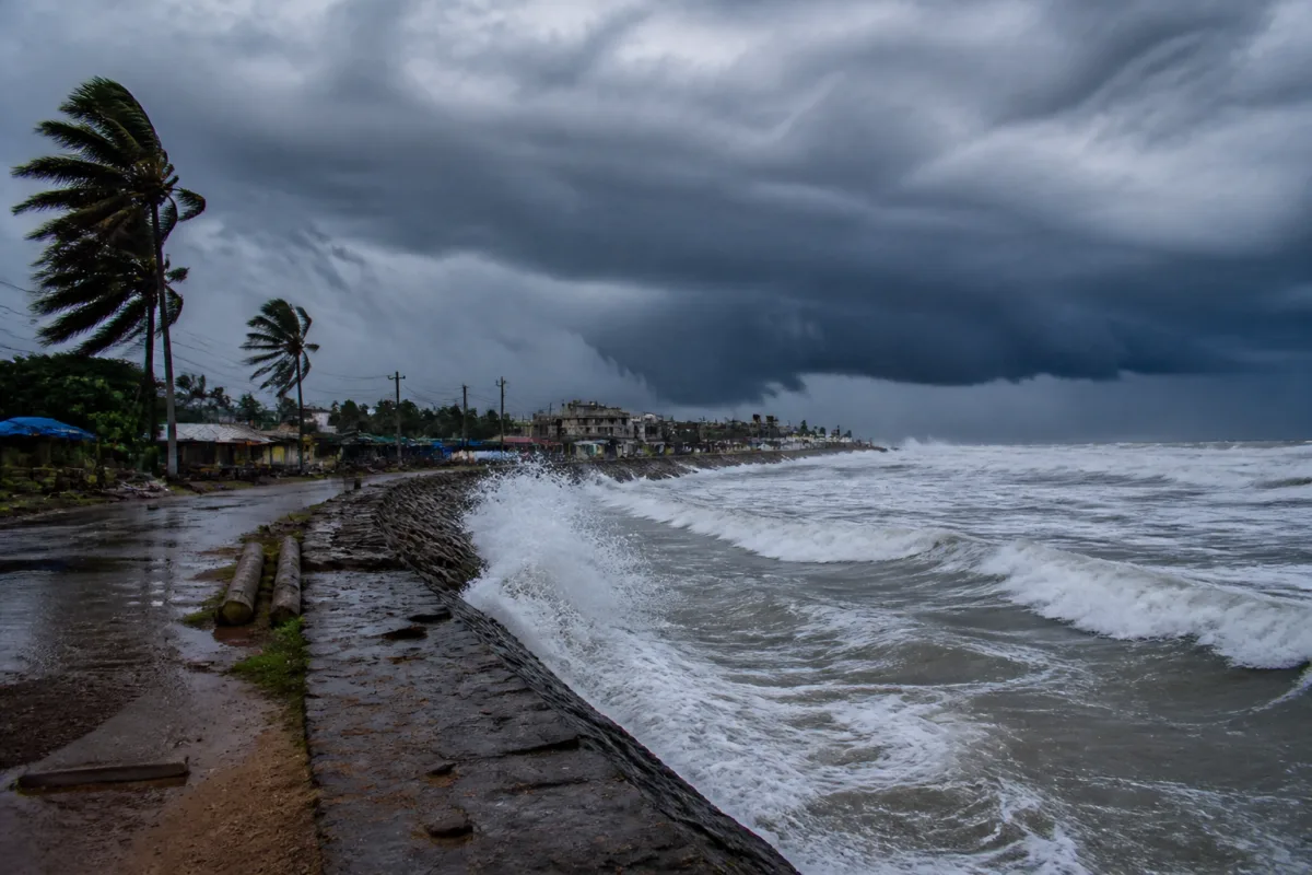
Cyclone Murasu is moving towards the Andhra Pradesh coast as a severe cyclonic storm and is expected to make landfall between Nellore and Narasapur late on Monday, with sustained winds of 100-110 kmph and gusts reaching 120 kmph, according to the India Meteorological Department.
The storm was moving west-northwest at 25 kmph over the west-central and adjoining southwest Bay of Bengal. The system had intensified into a severe cyclonic storm by Monday morning and was continuing to move closer to the coast.
At around 5.30 am on Monday, Murasu was located approximately 200 km east-northeast of Chennai, 210 km east-southeast of Nellore, 270 km south-southeast of Machilipatnam, 220 km east-southeast of Kavali, 400 km southeast of Ongole and 260 km southeast of Visakhapatnam. The India Meteorological Department said the cyclone would intensify further before reaching the Andhra Pradesh coast.
The expected landfall zone lies between Nellore and Narasapur. The landfall process is expected to begin around midnight on Monday and may continue until the early hours of Tuesday. The forecast wind speeds indicate the potential for disruption to electricity networks, roads, communications, fishing activity and other coastal infrastructure, although the supplied report does not provide details of evacuation orders or specific damage assessments.
Murasu follows Cyclone Arnab, which recently affected the Andhra Pradesh coast. The back-to-back systems place additional pressure on coastal administrations and emergency-response arrangements, particularly in areas where roads, drainage systems, power lines and public facilities may still be recovering from earlier severe weather. The source report, however, does not specify the extent of damage caused by Arnab or identify any locations where recovery work has been delayed.
The cyclone is not expected to have a significant direct impact on the West Bengal coast. The report said scattered showers could continue in parts of north and south Bengal until Tuesday, after which dry weather is expected across the state from Wednesday. Temperatures in West Bengal are likely to remain broadly stable over the next three days before minimum temperatures fall by around 2-3 degrees Celsius.
Kolkata recorded a minimum temperature of 24.9 degrees Celsius on Monday morning, 2.3 degrees above normal. The city’s maximum temperature on Sunday was 31 degrees Celsius, 0.1 degrees above normal.
The immediate operational focus remains the cyclone’s approach to the Andhra Pradesh coast, its landfall between Nellore and Narasapur, and the completion of the landfall process by Tuesday morning. Further official updates are expected from the India Meteorological Department as the system moves inland.

