


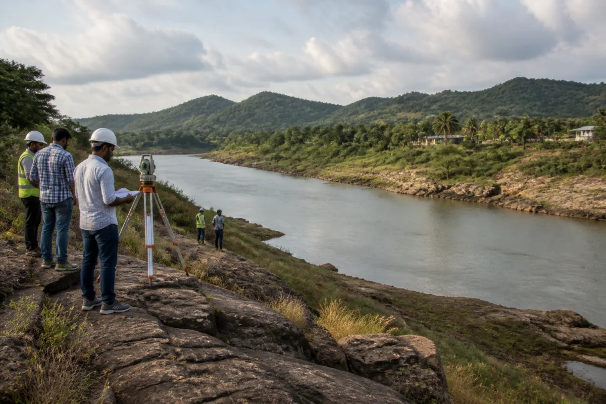
The Tummidihatti barrage is entering a more consequential phase in Telangana’s irrigation planning, with the state now asking officials to map exactly what would be submerged if the proposed full reservoir level is raised from 148 metres to 152 metres. The review, led by Irrigation Minister N. Uttam Kumar Reddy, shows that the project’s central question is no longer only how much water it can divert, but where the additional storage would come at an environmental and social cost.
The minister’s review followed talks between Telangana Chief Minister A. Revanth Reddy and Maharashtra Chief Minister Devendra Fadnavis on October 26. Maharashtra has raised concerns about submergence and environmental impacts associated with the proposed barrage on the inter-state project. Telangana, meanwhile, is seeking the higher level to facilitate easier flow of water to downstream structures. The competing positions make the barrage an administrative and engineering problem as much as an irrigation project.
According to the report by Deccan Chronicle, Reddy directed officials to prepare detailed maps of the areas that could be affected at different barrage levels. These maps are expected to distinguish riverbed areas, forests, eco-sensitive zones, protected core areas, revenue land and habitations. That classification is important because a single estimate of “submergence” can conceal very different consequences. Water covering a riverbed does not create the same administrative or ecological obligations as water affecting forest land, protected areas or inhabited settlements.
The proposed change involves a four-metre increase in the full reservoir level, but the reported storage figures indicate that the engineering consequences are considerably larger than the difference in height might suggest. Storage capacity would rise from 2.182 tmc ft at 148 metres to 5.697 tmc ft at 152 metres, more than doubling the volume held behind the barrage. The additional capacity is therefore the main reason the level is being examined, while the resulting land and environmental footprint is the principal source of concern.
The project is designed to divert 77 tmc of water and support irrigation across 5.85 lakh acres in seven districts. Its operation is linked to an integrated system involving the Sundilla barrage and the Sripada Yellampalli project. This means the Tummidihatti decision cannot be assessed as an isolated structure. The proposed level affects how water is stored and moved through a wider chain of infrastructure, including the downstream structures that Telangana says would receive easier flows at 152 metres.
That interconnected design also explains why the state is examining alignments and engineering modifications rather than treating the barrage height as a fixed choice. Reddy asked officials to identify technically sound and pragmatic solutions that could address Maharashtra’s concerns without compromising the project’s irrigation objectives. The reported instruction does not establish that a final redesign has been selected. It indicates that the state is keeping engineering changes open while officials establish the actual area likely to be affected.
The mapping exercise is consequently the most important immediate administrative step. Before a decision on the proposed level can be evaluated, authorities need a more precise picture of the land categories, settlements and ecological areas involved. The report says officials were asked to assess the extent of submergence at different barrage levels, rather than relying only on a single assessment for the proposed 152-metre level. This creates a basis for comparing the irrigation benefit of additional storage with the land and rehabilitation implications of raising the level.
The project’s rehabilitation and resettlement requirements are another part of that calculation. The assessment cited in the report indicates that submergence would be minimal and that rehabilitation and resettlement requirements could be addressed in both Telangana and Maharashtra even at 152 metres. However, the supplied report does not provide the number of affected households, the extent of land involved, the villages at risk or the specific rehabilitation package. Those details matter because the administrative feasibility of resettlement depends not only on the area submerged but also on the type of land and the number of residents whose access, homes or livelihoods could be disrupted.
The same gap applies to the environmental dimension. The proposed mapping categories include forests, eco-sensitive zones and protected core areas, but the report does not state how much of each category could be affected. It also does not identify the statutory approvals or environmental assessments that would be required before construction or modification. As a result, the available information establishes that environmental concerns are central to the inter-state discussions, but does not establish the final scale of the ecological impact.
This is where the project’s institutional complexity becomes visible. Telangana is pursuing an irrigation outcome: greater storage and easier downstream water movement. Maharashtra is raising concerns about the consequences on land and the environment. Project officials must translate those competing positions into maps, technical designs and impact assessments. Political discussions can establish intent, but the resolution depends on documentary evidence showing what changes at 148 metres, what changes at 152 metres and whether alternative alignments or modifications can reduce the difference.
The reported figures also show why the height dispute cannot be reduced to a minor technical adjustment. At 148 metres, the stated storage capacity is 2.182 tmc ft. At 152 metres, it is 5.697 tmc ft. The proposed level therefore carries a substantial storage benefit in the project’s design calculations. At the same time, the project’s stated irrigation objective covers 5.85 lakh acres across seven districts, giving the decision a broad regional significance. The question for authorities is how much of that intended benefit depends specifically on the higher level and whether the same operational objective can be achieved through design changes.
The project’s proposed 77-tmc diversion capacity further connects the barrage to questions of system-wide water management. The available report does not provide seasonal flow data, operating schedules or the allocation arrangements between the linked structures. It therefore cannot establish how frequently the additional storage would be used or what the operational consequences would be under different water conditions. Those details will be necessary for a fuller assessment of whether the added capacity produces a proportionate public benefit.
The inter-state nature of the project adds another layer to the decision. Even if Telangana’s technical assessment concludes that rehabilitation can be managed and submergence kept minimal, Maharashtra’s concerns will still need to be addressed through an agreed process. The October 26 meeting between the two chief ministers and the subsequent technical review suggest that the matter is being handled through both political and administrative channels. The next stage is likely to depend on whether the detailed maps and technical alternatives provide a common factual basis for those discussions.
For residents and landholders in the affected areas, the significance of the review lies in the difference between a broad project estimate and a location-specific assessment. A map identifying habitations, revenue land and protected areas can determine which institutions become responsible for compensation, rehabilitation, forest clearances and project redesign. Until those categories are separated and quantified, the phrase “minimal submergence” remains an overall assessment rather than a complete account of who or what could be affected.
The Tummidihatti review therefore reflects a familiar challenge in large water infrastructure: the most important project decision may be made several steps before construction, through the definition of the area that counts as affected. Telangana’s proposed four-metre increase has the potential to more than double reported storage, but it also requires the state and Maharashtra to agree on the physical and environmental consequences of that increase. The evidence currently available confirms the scale of the storage change and the irrigation objective, while leaving the precise submergence footprint and rehabilitation details to be established.
The immediate developments to monitor are the detailed maps, the comparison of impacts at 148 metres and 152 metres, any proposed engineering modifications, and the response of Maharashtra authorities. Those documents and decisions will determine whether the higher level can reconcile Telangana’s irrigation objectives with the environmental and rehabilitation concerns raised by the neighbouring state.

