


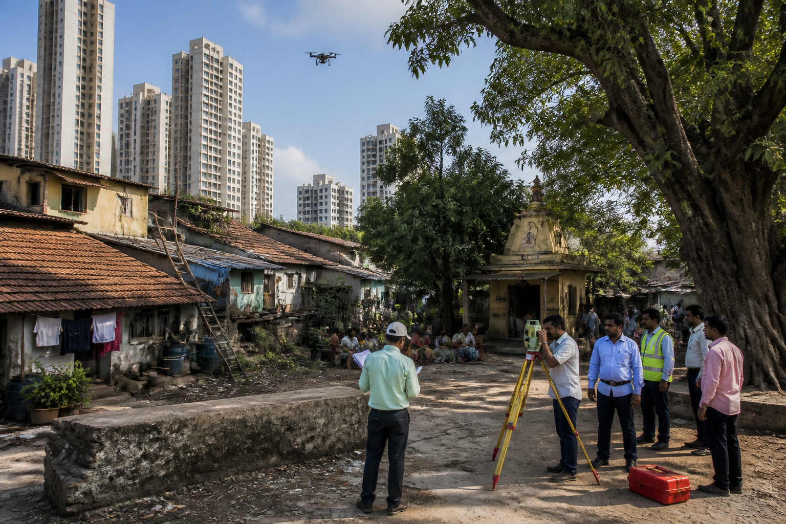
Maharashtra Revenue Minister Chandrashekhar Bawankule has ordered an immediate physical survey and official boundary demarcation of Thane’s historic Chendani Koliwada, a move that could determine how the settlement’s traditional homes, community spaces and 591 property holders are treated in future development projects.
The directions were issued at a meeting held at the Mantralaya after follow-up by Konkan Graduate Constituency MLA Niranjan Davkhare. Konkan Divisional Commissioner Rubal Agrawal and Thane District Collector Dr Shrikrishna Panchal attended the meeting through video conference, according to a report by Loksatta – Thane.
Officials have been directed to examine revenue records and complete the demarcation quickly using drone surveys and land measurement wherever required. The process is linked to the Maharashtra government’s decision of January 29, 2026, to conduct physical surveys and demarcate Koliwadas across the Konkan region. Action to establish a district-level committee for the work in Thane is already under way, the report said.
Davkhare asked the authorities to recognise Chendani Koliwada’s boundary, traditional houses and public and community spaces in development projects until the demarcation is completed. He also sought protection for the settlement’s historic and cultural features, including the Shri Datt temple, wells and groundwater levels.
The demands assume significance because several infrastructure projects have been proposed in and around Thane, including the Thane Integrated Ring Metro. The meeting called for the Koliwada’s boundary to be determined using revenue records, historical evidence and conditions on the ground, rather than relying on a single category of documentation.
The issue extends beyond the identification of a property line. Chendani Koliwada is described in the report as both a residential area and part of Thane’s historical and cultural heritage. The final survey could therefore influence how authorities record individual holdings, community land and shared facilities while planning or approving nearby projects.
Davkhare also urged the government to protect the rights of the settlement’s 591 property holders. He asked that government land located around the Koliwada be considered appropriately for the settlement’s development. The report did not specify the total area proposed for demarcation, the survey schedule or the legal form in which the final boundary will be notified.
A separate environmental and land-management issue was also raised at the meeting. At the Chuha Pool area in Mumbra, illegal dumping of waste and soil, along with unauthorised filling in a mangrove zone, was discussed. Bawankule directed the concerned agencies to coordinate action and stop the unauthorised dumping site in the environmentally sensitive area, according to the report.
The immediate next step is the formation and operation of the district-level committee, followed by examination of revenue documents and the physical survey. The final official boundary of Chendani Koliwada will depend on the findings of that process and the subsequent administrative action.
