


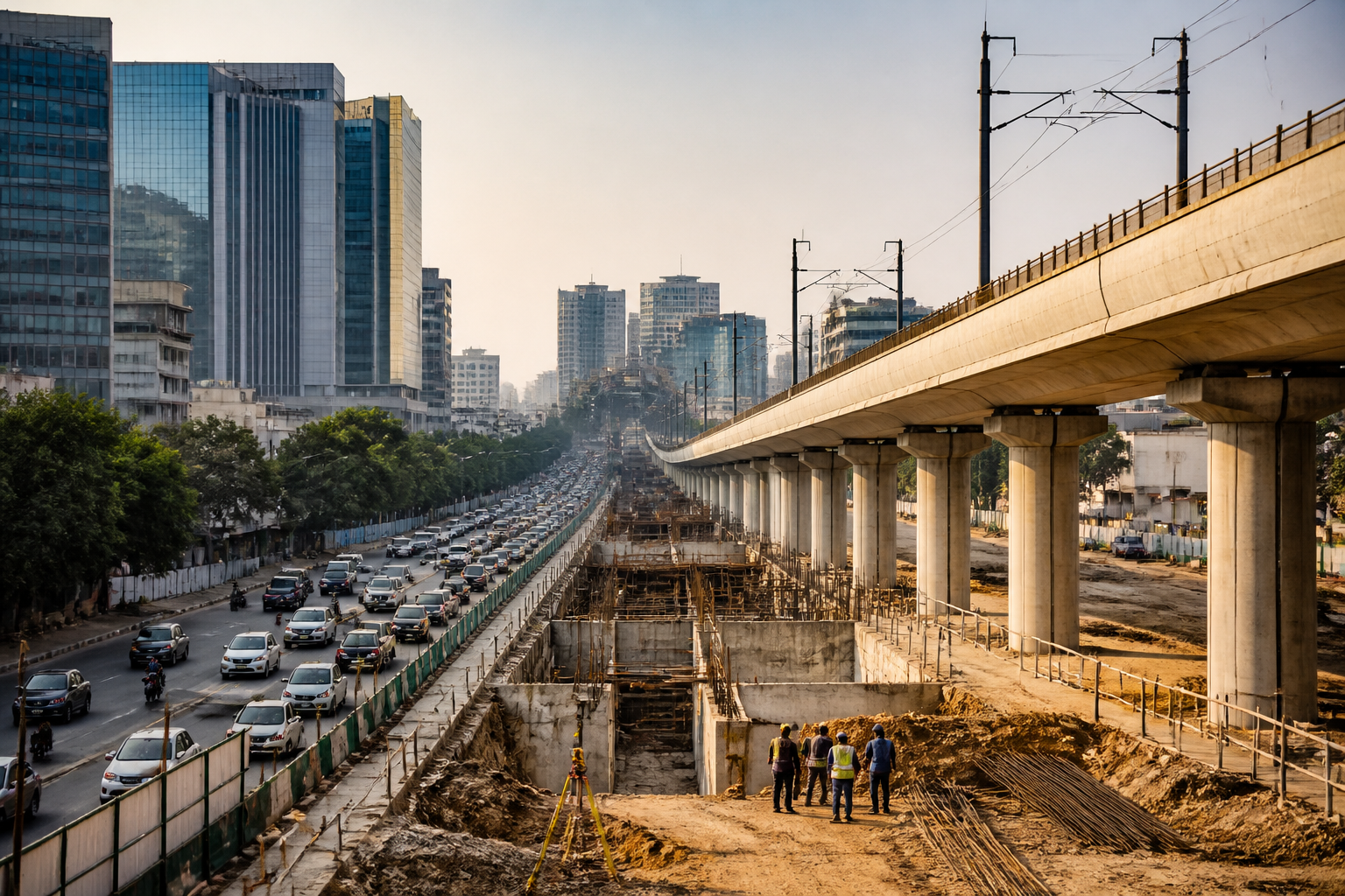
Haryana’s decision to designate a 1.5-kilometre zone around proposed Namo Bharat stations in Gurugram and Rewari as Transit-Oriented Development areas could redirect the region’s next phase of construction towards transport corridors. The policy allows for denser, multi-storey development near stations, but its most consequential detail—the additional floor area ratio to be permitted—has not yet been finalised.
The proposed Namo Bharat corridor will connect Delhi’s Sarai Kale Khan with Behror in Rajasthan. According to the report by Live Hindustan – NCR, 12 stations are planned across Gurugram and Rewari, including eight in Gurugram. The Haryana Department of Town and Country Planning issued the notification bringing the Haryana section of the corridor under the TOD framework on September 22.
The notification covers proposed stations at Cyber City, Iffco Chowk, Rajiv Chowk, Hero Honda Chowk, Manesar, Panchgaon and Bilaspur in Gurugram, along with Dharuhera, MBIR, Rewari and Bawal in Rewari district. The report also refers to Kherki Daula as a proposed underground station, while identifying elevated stations at Iffco Chowk, Panchgaon, Bilaspur, Dharuhera, MBIR, Rewari and Bawal. The station configuration and location details will therefore be important as the project moves from planning towards implementation.
The policy’s central idea is to place more homes and buildings near public transport. In the existing policy cited in the report for metro routes, the area within 500 metres of a station allows a FAR of 3.5, while the zone between 500 and 800 metres allows a FAR of 2.5. With 40 per cent ground coverage, the rules allow construction intended to accommodate 600 people within the first 500-metre zone and 430 people in the 500-to-800-metre zone, based on an assumption of five people per flat.
For the Namo Bharat corridor, however, the notified zone is considerably wider at 1.5 kilometres. That changes the planning question from simply permitting taller buildings close to a station to managing a much larger development catchment. The final FAR will determine how much additional construction potential is created, where that potential can be used and how quickly population and built-up area could grow around the stations.
Praveen Chauhan, a district town planner in Haryana’s Department of Town and Country Planning, said the state government had declared the area within 1.5 kilometres of the stations in Gurugram and Rewari as a TOD zone. He also confirmed that the FAR had not yet been decided. The official indicated that the position could become clearer in the following month, according to the report.
That unresolved calculation is not a technical footnote. FAR determines the total floor area that can be built on a plot in relation to its land area. In a station-area policy, it becomes one of the main instruments for deciding whether transit investment is accompanied by compact development or by relatively dispersed construction around a large transport alignment. In this case, the state has created the planning zone before finalising the development intensity within it.
The corridor is also being planned alongside a substantial set of construction and utility works. The report says the National Capital Region Transport Corporation has asked the district administration for around 99 acres near Panchgaon for a depot. It has also sought approximately 24 acres in Dharuhera. These land requirements indicate that the project is not limited to stations and tracks; it will also need operational facilities and supporting land parcels.
Preparatory surveys have already been carried out along approximately 93.5 kilometres from DLF Cyber City to Bawal. The report says digital global positioning system and topographical surveys have been completed, and pile tests have been conducted at 22 locations. Space has been identified for shifting water, sewer and gas pipelines across 73 kilometres. High-tension cables with capacities of 400 and 750 kilovolts have been shifted, while 66- and 132-kilovolt transmission lines are to be relocated.
These details show that the TOD notification is arriving alongside a corridor that will require extensive coordination between transport agencies, district administration, utility providers and planning authorities. The station-area development framework and the physical infrastructure programme will therefore have to progress together. Additional building capacity without corresponding utility, access and drainage planning would leave the transport corridor carrying the burden of growth without necessarily making the surrounding areas function as integrated urban districts.
The proposed project is estimated in the report to cost around Rs 35,000 crore. Its alignment includes underground stations at Cyber City, Rajiv Chowk, Hero Honda Chowk, Kherki Daula and Manesar, while several other stations are planned as elevated facilities. The mix of underground and elevated construction reflects the varied urban conditions along the corridor, from established employment districts to developing areas and locations closer to the Gurugram-Manesar growth belt.
The policy also raises a question about who will benefit from the additional development capacity. The report identifies the objective as enabling more people to live near public transport. That could reduce the distance between housing and high-capacity transit for residents of future developments. But the supplied material does not establish the type, price or tenure of the housing that will be built under the new framework. Until those rules are published, the social effect of the added FAR remains unresolved.
The same uncertainty applies to the relationship between station density and the surrounding road network. The source identifies utility relocation and land requirements, but does not provide details on feeder services, pedestrian access, parking controls, road-capacity improvements or development approvals. These are not peripheral matters in a 1.5-kilometre station zone. They will influence whether the policy produces genuinely transit-linked neighbourhoods or simply permits more construction near a rail investment.
Institutionally, the announcement places the Town and Country Planning Department at the centre of the land-use response, while the NCRTC is responsible for the transport project and associated operational requirements. The district administrations are involved in providing land and coordinating infrastructure. Utility agencies will be required to shift or protect networks. The TOD framework therefore creates a multi-agency implementation task, with the final FAR acting as a key point at which transport planning and real-estate regulation meet.
The available numbers illustrate the scale of the proposed transformation. The corridor is planned across roughly 93.5 kilometres between Cyber City and Bawal, with 12 stations identified across Gurugram and Rewari, a depot land requirement of about 99 acres near Panchgaon, and another request for around 24 acres in Dharuhera. Utility relocation has already been mapped across 73 kilometres, while the project’s estimated cost is approximately Rs 35,000 crore. Together, these figures describe a regional infrastructure project rather than a standalone station upgrade.
The central planning decision now pending is how much construction the station areas will absorb. A higher FAR could create greater development capacity around the corridor, while a lower or more differentiated FAR could limit intensity in areas where infrastructure or land conditions are less prepared. The report does not state the proposed FAR, whether it will vary by station, or what conditions developers will have to meet. Those details will determine the practical meaning of the TOD notification.
For Gurugram and Rewari, the proposed Namo Bharat corridor is thus becoming both a transport project and a land-use project. The immediate fact is that the state has declared a 1.5-kilometre TOD zone around the proposed stations. The larger planning transition will become clearer when the government publishes the permitted FAR and related development rules, while the corridor’s surveys, utility shifts, land acquisition and depot planning continue.
