


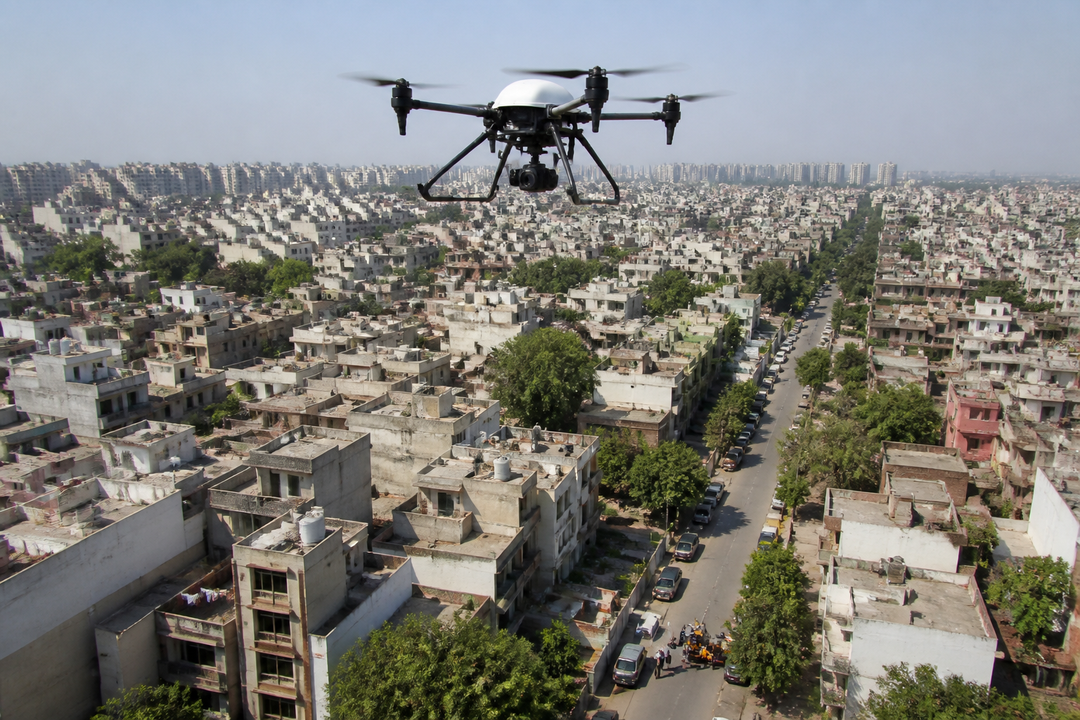
The Municipal Corporation of Delhi has begun a pilot drone survey in two wards to improve property-tax assessment and identify properties that are currently unassessed or under-assessed, officials said on Tuesday. The exercise is the first phase of a technology-led effort to build a more accurate database of properties across the city.
The aerial survey is being conducted in Rohini F Ward of the Rohini Zone and Gharoli Ward of the Shahdara South Zone, according to an official statement. The pilot will use drone imagery alongside geographic information system mapping, LiDAR-based surveys, geo-tagging, artificial intelligence and three-dimensional digital modelling.
The Municipal Corporation of Delhi plans to combine these technologies to map properties and improve the information available for tax assessment. The approach is intended to provide a more detailed record of the built environment than conventional property records alone, particularly in areas where properties may not have been recorded or their assessed details may not reflect their current physical characteristics.
Property tax is a key source of municipal revenue, and the accuracy of the property database affects how the corporation identifies liable properties and determines assessments. In the current pilot, the MCD has not announced the number of properties to be surveyed, the expected duration of the exercise, or a citywide rollout schedule.
The use of drone imagery and three-dimensional modelling also indicates that the corporation is seeking to connect aerial information with digital records rather than conduct only a visual inspection. GIS can associate mapped structures with locations, while geo-tagging can link images and property information to specific sites. The official statement did not provide details on the data-protection arrangements, inspection process or procedure for property owners to challenge an assessment based on the new mapping.
The two selected wards cover different parts of Delhi’s municipal area: Rohini F Ward lies in the city’s north-western zone, while Gharoli is in the Shahdara South Zone in the east. Their inclusion in the first phase will allow the corporation to test the survey process across separate administrative areas before deciding on further implementation.
The pilot comes as municipal bodies increasingly use digital mapping and automated tools to improve records of urban properties and infrastructure. For the MCD, the immediate objective is to identify gaps in property-tax coverage and create a database that officials describe as more accurate. The next steps will depend on the completion of the first-phase survey and the corporation’s assessment of the resulting data.
