


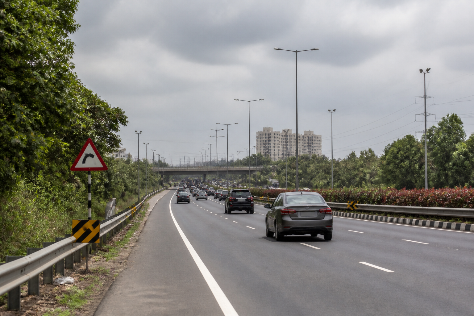
Palghar district administration has directed the National Highways Authority of India (NHAI) and other agencies to begin immediate preventive measures at 25 accident-prone locations on the Mumbai–Ahmedabad National Highway, following concerns over rising crashes and road safety.
The directions were issued at a district road safety committee meeting chaired by Palghar Collector Dr Indu Rani Jakhar. The administration has asked the agencies to start improvement work at the identified black spots, establish a separate control room for these locations and mark them on Google Maps so that motorists can be alerted.
The meeting brought together officials from NHAI, the Ministry of Road Transport and Highways, the Pradhan Mantri Gram Sadak Yojana, the police department, the highway safety squad, the Regional Transport Office, the Public Works Department and the health department. Senior representatives of Resilient India also attended the review.
The district administration said the black spots on the highway would be studied separately to identify road design and operational deficiencies. NHAI has been instructed to carry out improvements in accordance with guidelines issued by the Indian Roads Congress. The administration has also directed the relevant agencies to consider recommendations from a study conducted by Resilient India.
Each location will be reviewed independently, including its current condition, the causes of accidents reported there and the engineering measures required to reduce risk. The approach places the focus on location-specific interventions rather than treating the highway as a single, uniform road corridor.
Black spots can arise from a combination of road geometry, inadequate signs, poor visibility, unsafe junction design, insufficient lighting, weak pedestrian protection or changes in traffic movement. The information released by the district administration does not specify which of these factors applies to each of the 25 locations, nor does it provide a timeline or project-wise cost for the proposed works.
The proposed Google Maps markings are intended to provide an additional warning layer for road users approaching the identified locations. The administration has not disclosed the format of the alerts, the agency responsible for updating the mapping information or whether the markings will be linked to speed-control and enforcement measures.
The separate control room is expected to support monitoring and coordination among the agencies responsible for road engineering, traffic management, emergency response and public health. The district administration has not yet announced when the control room will become operational or identified its staffing and reporting structure.
The next stage will involve the independent assessment of all 25 black spots, followed by the identification and implementation of engineering measures in line with IRC guidance and the recommendations under review. The district road safety committee will continue to oversee the corrective action through the participating departments and agencies.
