


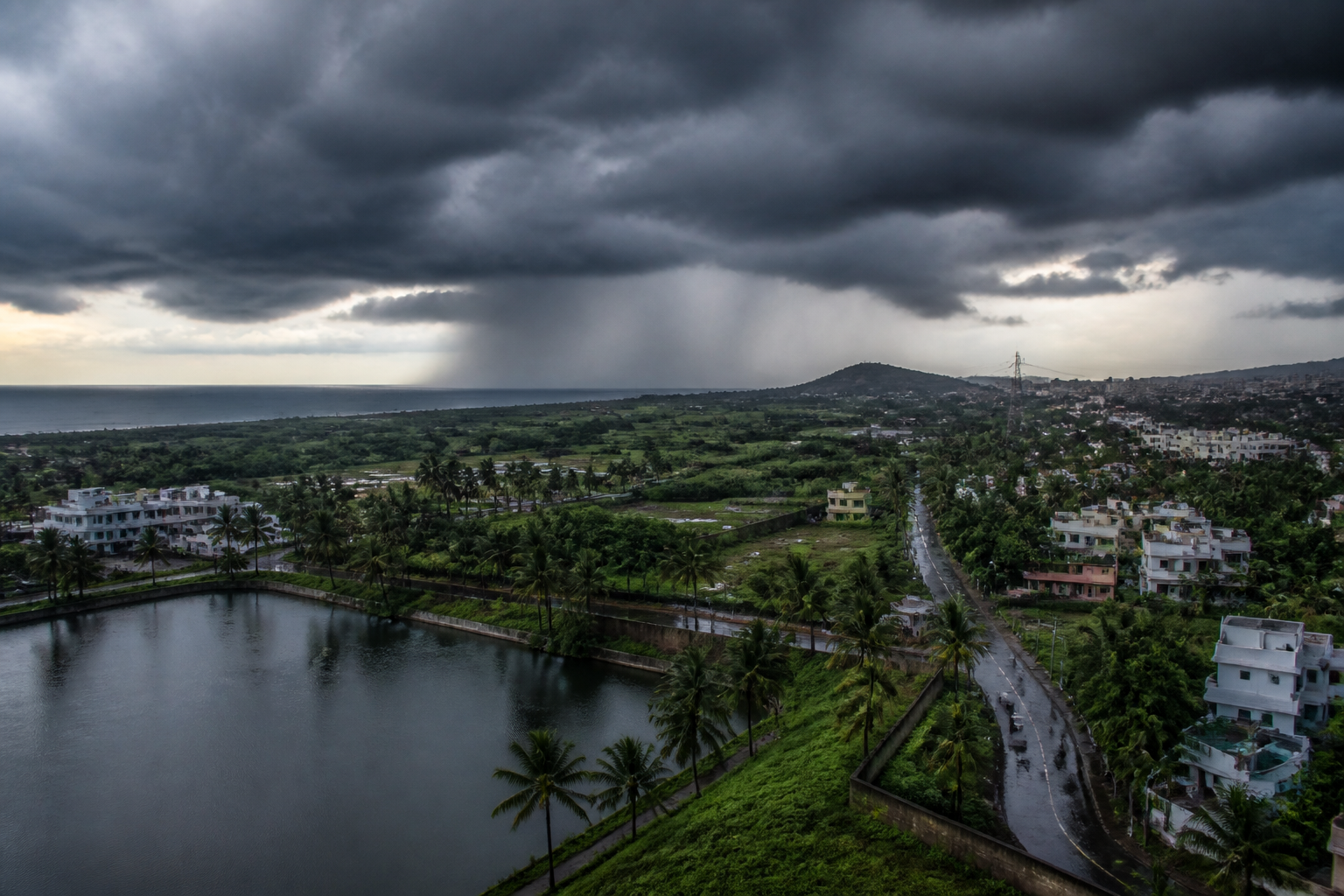
Andhra Pradesh may receive much-needed rainfall around September 23 as a low-pressure area over the east-central Bay of Bengal and adjoining north Andaman Sea is expected to strengthen and move towards the state’s coast, the India Meteorological Department (IMD) said.
The system, observed at 8.30 am on Sunday, is likely to move west-northwestwards and intensify into a depression on September 21 and a deep depression on September 22. It is expected to reach the west-central and adjoining northwest Bay of Bengal near the north Andhra Pradesh–south Odisha coasts around the morning of September 23.
The forecast comes as Andhra Pradesh faces a severe rainfall deficit that has affected household water availability, irrigation and agricultural operations. Kharif sowing is estimated to be about two lakh hectares lower than during the previous year, while reduced rainfall has also lowered storage in major and medium reservoirs.
Water levels in the state’s major reservoirs currently stand at 524 tmc ft, against a combined full reservoir level of 1,014 tmc ft. The shortfall has increased pressure on water resources at a time when farming and local supply systems remain dependent on further rain.
“If the forecast proves right, the system might bring down the rainfall deficit by at least 20 per cent. The current deficit as on date is 47 per cent,” PLN Murthy, director of the Visakhapatnam Cyclone Warning Centre, said.
Forecast models from the European Centre for Medium-Range Weather Forecasts and the United States Global Forecasting System have indicated the possible development of a system with a distorted eye-like circulation around September 23 and 24. However, these projections do not establish that the system will intensify into a named cyclone.
If it develops into a cyclone, it may be named Arnab, a name contributed by Bangladesh. The final intensity, rainfall distribution and landfall conditions will depend on the system’s subsequent movement and strengthening.
The IMD’s official forecasts will remain the key reference for public safety and preparedness as the system develops. Authorities, farmers and water managers will need to track updated advisories before assessing the likely effect on reservoirs, sowing operations and coastal areas.
