


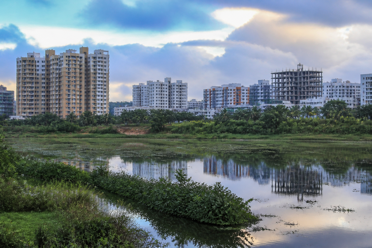
Bengaluru’s groundwater story is no longer a citywide decline that can be described with a single number. Decadal records cited from the Karnataka Groundwater Authority show that Doddaballapura, Bengaluru North and Yelahanka recorded improved groundwater levels between 2016 and 2025, even as Devanahalli, Hoskote, Nelamangala, Anekal, Bengaluru East and Bengaluru South saw their water tables fall. The contrast reveals how land cover, extraction and the survival or restoration of water bodies are shaping access to an underground resource that the city is drawing down faster than it can replenish.
The most significant improvement was recorded in Yelahanka. Its groundwater level rose from 37.83 metres below ground level in 2016 to 27.88 metres in 2025. Bengaluru North improved from 24.11 metres to 20.88 metres, while Doddaballapura moved from 28.73 metres to 27.39 metres below ground level. In groundwater measurement, a smaller depth below ground indicates that water is available closer to the surface than before.
These gains do not represent a uniform recovery across north Bengaluru. They appear to be linked to local conditions that have allowed more water to enter the ground. A city-based expert quoted in the source attributed the improvement to remaining open land and the restoration of water bodies, including Yelahanka and Allasandra lakes. The same account also cautioned that the region is rapidly concretising, placing the gains under pressure.
That tension is central to Bengaluru’s water challenge. Open land can allow rainfall to infiltrate soil and replenish underground aquifers, while paved surfaces, buildings and roads interrupt that process. As urbanisation advances, the same areas that have retained some recharge capacity can lose it. The result is a city in which adjacent or rapidly expanding taluks may experience very different groundwater trajectories, depending on how much land remains permeable and how effectively local water bodies function.
Devanahalli recorded the sharpest deterioration in the data cited by Bangalore Mirror. Its groundwater level fell from 30.82 metres below ground level in 2016 to 54.31 metres in 2025. Hoskote, which already had one of the deepest recorded levels in 2016, declined from 56.63 metres to 63.16 metres. Nelamangala fell from 23.06 metres to 33.44 metres, while Anekal declined from 27.21 metres to 30.06 metres.
The deterioration was also pronounced in Bengaluru East. Its groundwater level dropped from 20.54 metres below ground level in 2016 to 35.1 metres in 2025. Bengaluru South recorded a smaller decline, from 22.05 metres to 22.42 metres. A city-based researcher attributed the changes in Bengaluru East and South to high extraction combined with low natural recharge caused by extensive impervious surfaces.
The pattern matters because it links water stress to the physical form of urban growth. Bengaluru’s expansion is not simply adding residents and buildings; it is also changing the ground beneath them. Where development replaces soil with hard surfaces, rainfall has fewer opportunities to move into aquifers. Where demand is met through borewells, extraction can continue even when the underlying resource is being depleted. The data therefore point to a planning problem as much as a hydrological one.
The extraction figures cited from the Central Ground Water Board make the scale of the imbalance clearer. The stage of groundwater extraction was reported at 187% in Bengaluru Urban and 147% in Bengaluru Rural. The figures indicate that annual extraction is substantially higher than the annual extractable groundwater resource in both areas.
For Bengaluru Rural, the annual extractable groundwater resource was cited as 15,752.4 hectare-metres, while current extraction was reported at 23,164.46 hectare-metres. In Bengaluru Urban, the annual extractable resource was 28,565.58 hectare-metres, against extraction of 53,332.51 hectare-metres. The urban figure is almost double the resource identified as extractable in the cited assessment.
These numbers also complicate the idea that a better groundwater level in a few northern taluks can be treated as evidence of a broader recovery. Yelahanka, Bengaluru North and Doddaballapura may have benefited from open land and restored lakes, but the larger extraction balance remains adverse. Local improvement can coexist with regional overuse, especially when recharge and extraction are measured across different areas and when development is moving quickly between them.
The institutional response described in the source includes a recommendation from the Central Ground Water Board for 1,690 artificial recharge structures across Bengaluru. Such structures are intended to help replenish drying aquifers and maintain groundwater levels. Their recommendation places recharge within the framework of public infrastructure rather than leaving it solely to individual property owners or isolated lake projects.
However, the available evidence does not establish how many of the recommended structures have been built, where they are located, how well they function or whether they are maintained. It also does not show whether extraction has fallen in the areas where water tables have declined most sharply. Those gaps are important because recharge infrastructure cannot by itself resolve an imbalance if groundwater withdrawal continues to exceed replenishment.
The figures also highlight the administrative complexity of Bengaluru’s water system. The reported extraction levels cover Bengaluru Urban and Bengaluru Rural, while the groundwater trends are presented taluk by taluk. Urban expansion does not follow administrative boundaries neatly: development pressure in Devanahalli, Hoskote, Yelahanka and neighbouring areas is connected through roads, employment centres, real estate activity and changing land use. A groundwater response that is designed only around existing jurisdictional divisions may struggle to match the geography of the aquifers and the growth corridor.
The northern improvement therefore offers a useful, but limited, planning lesson. Restored lakes and remaining open land appear to have supported better groundwater conditions in some locations. At the same time, the rapid concretisation noted in north Bengaluru could weaken those conditions over time. The same landscape can be both a partial solution and an emerging risk, depending on how development is permitted and how recharge areas are protected.
For residents and businesses, declining groundwater levels have direct operational consequences. Deeper water tables can make borewell access more difficult and increase dependence on other sources. The supplied evidence does not quantify household costs, tanker dependence or interruptions, so those effects cannot be measured here. It does establish, however, that Bengaluru’s current extraction is higher than the reported extractable resource and that several taluks have experienced substantial declines over the past decade.
The evidence confirms three simultaneous realities: some northern parts of the metropolitan region have recorded improvement; several other taluks are moving deeper into groundwater stress; and the city’s overall extraction-recharge balance remains unsustainable according to the cited Central Ground Water Board figures. The next questions for public agencies are whether the 1,690 recommended recharge structures have been implemented, whether they are delivering measurable recharge, and how land-use decisions are affecting the areas that still retain natural recharge capacity.
