


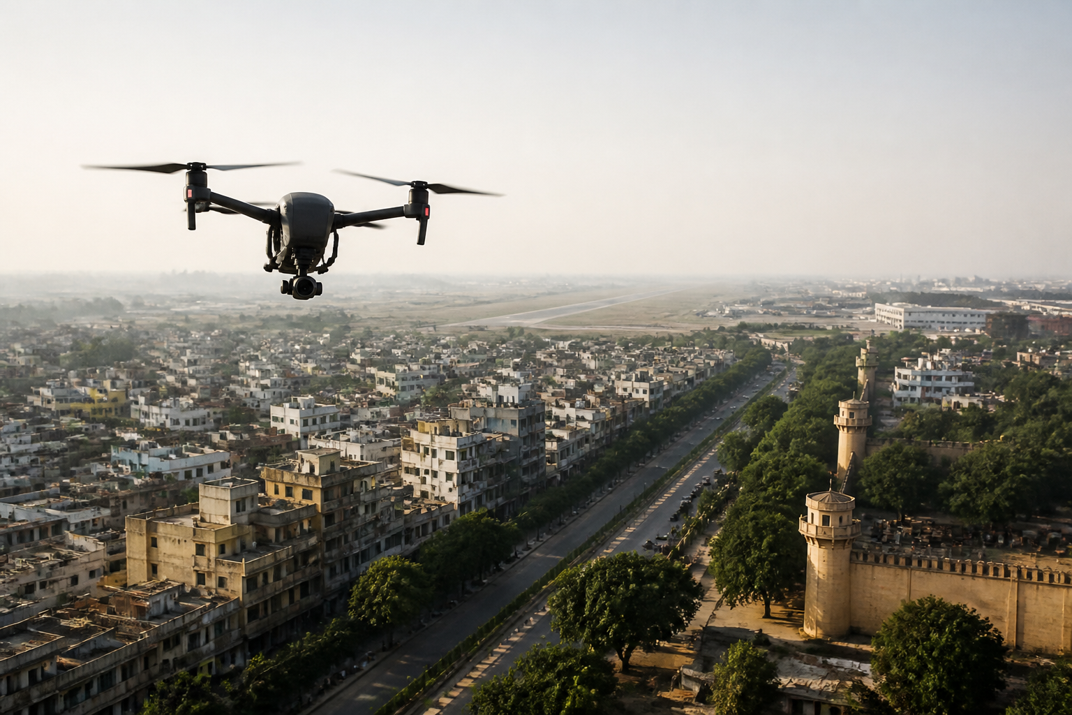
India’s drone rules are becoming more important as unmanned aircraft move from specialist equipment into everyday urban and commercial life. A drone may now appear at a wedding, above a farm, on a real estate shoot or in a social-media video, but the airspace it enters is governed by permissions, restrictions and changing security conditions. The central challenge is no longer simply whether drones can fly. It is whether operators can understand where, when and under what conditions they are allowed to fly.
The scale of the change is visible in the figures cited in the supplied report. As of February 2026, India had nearly 40,000 registered drones, a similar number of DGCA-certified remote pilots and 244 approved drone training schools. These numbers describe an industry that has moved beyond experimentation. Drones are being used for agricultural pesticide spraying, land surveys, property marketing, promotional videos and wedding photography. Their growing presence also means that ordinary citizens increasingly interact with a regulated aviation system without necessarily seeing themselves as aviation users.
That disconnect is the source of much of the risk. A person buying a camera drone may think of it as a consumer device, much like a camera or a smartphone accessory. The authorities responsible for airspace security, however, must treat the aircraft as a moving object whose location, route, altitude and operator may need to be established quickly. The same device can be harmless in one setting and a serious concern in another, depending on where it is flown and how it behaves.
India’s airspace controls are organised through colour-coded zones. Green zones generally cover areas where flights may be permitted up to 400 feet without prior permission, provided the relevant registration and operating requirements are met. Yellow zones represent controlled airspace, including areas near airports, city centres and other sensitive corridors. Flights in these areas require permission through the Digital Sky platform. Red zones cover locations such as international borders, military installations, Parliament and other high-security sites, where drone operations require explicit government clearance.
The colour system is intended to make a complex airspace regime easier to understand. Yet the system is not static. The report notes that restrictions can change during elections, cricket matches, VVIP visits and national holidays. A location that appeared to be available for flight at one point may later be subject to a temporary restriction. This makes checking the Digital Sky map immediately before a flight more important than relying on an earlier search or a previous flight experience.
The underlying urban issue is that airspace is becoming another layer of public infrastructure. Cities already manage roads, railways, utilities and public spaces through permissions and operating rules. Drones add a low-altitude network above those systems, one that crosses private property, public venues, transport corridors and security perimeters. Unlike a road vehicle, a drone can move over a crowded event or approach a restricted facility without using a visible, fixed route. That makes compliance dependent on both digital information and operator judgement.
The report’s discussion of counter-drone systems shows why enforcement is more complicated than simply identifying an unauthorised aircraft. Amardeep Singh, founder and chief executive of counter-drone technology company Armory, said that an unauthorised drone in restricted airspace is not automatically a security threat, but is an event that must be understood quickly and accurately. Authorities need to determine where the drone is, where it came from, how it is moving and, as far as possible, who is operating it.
Detection is therefore only the first stage. The systems described in the report combine radio-frequency sensing, which can identify signals associated with a drone, with Drone ID systems where available. These tools are intended to support a wider sequence: detect, track, identify and assess. The sequence matters because a drone crossing a boundary does not by itself reveal the operator’s purpose. A recreational aircraft that drifts beyond an intended area is not equivalent to one deliberately circling a sensitive installation, even though both may initially appear as unauthorised objects on a sensor.
The distinction between accident and intent is particularly difficult in crowded urban settings. A wedding venue, sports event or public gathering may be close to airports, government facilities or other restricted areas. An operator may be focused on capturing footage rather than understanding the surrounding airspace. At the same time, authorities cannot assume that every unexplained flight is innocent. The result is a security problem in which response speed must be balanced against the risk of acting on incomplete information.
Singh told NDTV that artificial intelligence and machine learning can help operators analyse signals and flight behaviour faster, but cannot reliably determine intent in every situation. That limitation is significant. Technology can improve the collection and processing of information, but it does not remove the need for trained human operators to interpret circumstances and decide what action should follow. In a crowded area, bringing down a drone may itself create danger, depending on its location and the people below it.
This layered approach also points to an institutional transition. India is seeking to build domestic counter-UAS capabilities, with growing attention to threat classification and behavioural analysis. The supplied report does not provide details of a specific programme, budget or deployment timetable, but it identifies the direction of travel: the country is attempting to develop systems suited to its own airspace, security needs and operating conditions rather than relying entirely on imported technology.
For drone pilots, the regulatory system creates responsibilities that vary according to the aircraft and the purpose of the flight. The report states that drones weighing more than 250 grams must be registered and receive a Unique Identification Number through the Digital Sky platform. It also says that pilots operating drones above the nano category, or flying commercially, require a Remote Pilot Certificate. These requirements place the operator, rather than the retailer or event organiser, at the centre of compliance.
The consequences of non-compliance can include fines, confiscation of the drone, blacklisting from future registration and, in serious cases, imprisonment, according to the report. The available material does not specify the legal provisions or penalty amounts for each type of violation. That absence is itself relevant to public understanding: a general warning about imprisonment is less useful than clear information about which rule was breached, which authority enforces it and what process follows. Operators cannot safely treat unfamiliarity with a red zone as a substitute for permission.
The expanding consumer market adds another layer to the issue. The report places the DJI Mini 2 SE at around Rs 46,500, the DJI Mini 4 Pro at about Rs 99,999 and the DJI Air 3 near Rs 1,35,500. These price points show how accessible capable camera drones have become for casual users, wedding videographers and small businesses. But the purchase price is not the full cost of lawful commercial operation. Registration, training and insurance may add to the expense, while the regulatory obligation remains regardless of whether the flight is for a family event or a paid assignment.
The evidence supplied by the report confirms a widening gap between adoption and awareness. Nearly 40,000 registered drones and a comparable number of certified remote pilots indicate formal growth, while the examples of weddings, farms, property marketing and social-media production show how quickly the technology has entered ordinary activities. At the same time, the need to check a changing map before every flight suggests that compliance depends on a level of attention many casual users may not yet associate with consumer electronics.
This is the larger urban question raised by India’s drone rules: who is responsible for making shared airspace legible as more people use it? The Digital Sky platform provides a central point for checking zones and seeking permissions, but the system still depends on operators consulting it at the right time and understanding what the information means. Authorities must also distinguish between technical non-compliance, accidental intrusion and conduct that presents a genuine security threat.
The report establishes that drones have become part of India’s commercial and social landscape, while the systems for managing them are still evolving. It also shows that enforcement is moving from simple prohibition towards a combination of mapping, registration, identification, behavioural assessment and human decision-making. What remains unclear from the supplied material is how consistently these systems operate across different cities and how penalties are applied in individual cases. Those are the developments that deserve monitoring as India’s low-altitude airspace becomes more crowded.
