Hyderabad Researchers Build Tool to Map Flood Risks
HYDERABAD, August 31: Researchers at the Indian Institute of Technology Hyderabad have developed a digital system designed to track urban flooding through real-time citizen reports. The initiative combines photographs, rainfall information and local observations to map flood conditions, potentially giving residents and city planners faster information during extreme rainfall.
The system includes SnapFlood, a mobile application available for iOS and Android platforms. Residents can report conditions in their neighbourhoods and view reported flood locations across the city. Instead of depending entirely on physical sensors, the project uses crowdsourced information. Users can classify conditions as no flooding, water stagnation, minor flooding, moderate flooding or severe flooding. Reports can also include the approximate depth of stagnant water and rainfall information. This approach addresses a practical limitation faced by cities. Installing monitoring equipment across every road and neighbourhood can be expensive and difficult to maintain. Citizen-generated observations can provide additional information from locations where dedicated equipment is unavailable.
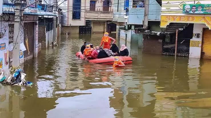
For Hyderabad, the potential value is particularly relevant during intense rainfall. Waterlogging can develop quickly in individual streets, underpasses and low-lying areas. Conditions can also vary significantly between nearby locations. A real-time database could help residents identify roads where travel may be difficult. It could also provide authorities with a more detailed picture of how flooding develops across different parts of the city. The longer-term application could be even more significant. Historical flood information can help planners understand recurring problem areas. Such data could support decisions on drainage capacity, road design and infrastructure upgrades. Flood records can also become useful for future urban development. Areas that repeatedly experience water accumulation may require stronger drainage systems or tighter controls on how surrounding land is developed. Urban flooding is not caused only by rainfall. Drainage limitations, blocked water channels, impermeable surfaces and changes in land use can influence how quickly water accumulates. Reliable location-specific data can help planners examine these factors together.
The system’s reliance on citizen participation also introduces an important challenge. Reports need to be sufficiently accurate and consistent to support planning decisions. Clear reporting categories and validation methods will therefore be important as the database expands. The technology could have applications beyond Hyderabad. Smaller cities often have fewer monitoring resources and may struggle to maintain extensive sensor networks. A citizen-based model could provide supplementary information without requiring large-scale hardware deployment. For residents, the immediate benefit is practical: knowing where flooding is occurring can help people avoid hazardous or heavily waterlogged routes. For planners, the larger opportunity lies in building a long-term record of urban flood behaviour. As extreme rainfall places greater pressure on city infrastructure, timely information is becoming an important part of climate resilience. Digital flood mapping cannot replace drainage improvements or better urban planning, but it can help cities understand where intervention is needed and respond more effectively when rainfall events intensify.