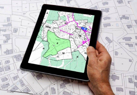
The Greater Chennai Corporation (GCC) has embarked on a significant project to trace and secure 6,000 land parcels across the city, aiming to safeguard vital public spaces such as parks, playgrounds, and Open Space Reservation (OSR) lands. This initiative is designed to address and prevent encroachments on these crucial areas, ensuring their preservation for community use and public safety. The project encompasses not only currently unused lands but also those where encroachments have already occurred.
As part of the initiative, GCC officials will meticulously trace the land records of these parcels, which include both current and potential encroachments. The process will involve digitising the data, which will then be made accessible through the GCC’s online portal, enhancing transparency and public access to land information. The effort will see collaboration between officials across the city’s 15 zones and the Revenue Department, focusing on accurately marking and recording land boundaries.
The drive is also addressing historical challenges, particularly concerning the incomplete or disorganised land records from local bodies that were merged into GCC during the 2011 expansion of Chennai’s municipal boundaries. The Land and Estates Department, with support from the Revenue Department, has already reviewed 1,500 properties and aims to finalise the verification of the remaining 6,000 properties within the month. This step comes in response to resident associations’ concerns over the protection of OSR lands, which have, in some instances, been misused for building construction under the guise of public utility. The GCC has reaffirmed its commitment to preserving these spaces, essential for disaster resilience and urban green infrastructure, despite recent council discussions about repurposing OSR lands for public buildings.
In summary, the Greater Chennai Corporation’s new initiative to trace and secure its land holdings represents a critical move towards better land management and urban planning. By digitising land records and enhancing transparency, the GCC aims to protect essential public spaces from encroachments and ensure they serve their intended purpose in the city’s development.


