


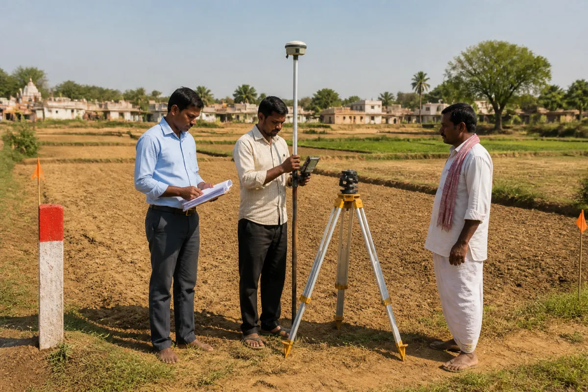
The Telangana government will undertake a six-phase resurvey of agricultural land across the state, beginning an 18-month exercise aimed at reconciling ground conditions with revenue records that are based on a survey conducted in 1931 during the Nizam-era administration.
The Revenue Department has issued detailed guidelines for the exercise, which will cover all districts except Hyderabad. The standard operating procedure issued by CCLA Lokesh Kumar provides for ground-truthing, verification of survey records, resolution of discrepancies, finalisation of maps and records, and updating of the Record of Rights (RoR) on the Bhu Bharati portal.
The process is significant for land administration because it is designed to compare recorded holdings with their physical position on the ground. Survey teams will use advanced rovers and will carry physical copies of pre-filled field registers and the latest pahani records downloaded from Bhu Bharati. Pattadar details, survey and khata numbers, land classification and recorded extents will be checked against the actual field position.
The first phase will focus on preparation. Farmers will be informed through village drum announcements and gram sabhas, with the Agriculture Department also involved. Pattadars must receive survey notices at least four days before the exercise, while flags will be provided two days in advance to help mark field boundaries. Government departments will participate in identifying the boundaries of tanks, kuntas, forests and other government land.
In the second phase, survey teams must inform pattadars immediately about the measured extent of their land. Any difference between the Record of Rights and the physical measurement will have to be brought to the pattadar’s notice. Field registers will record variations, joint khatas, Land Parcel Maps, discrepancies in pattadar names and cases where recorded holders are not in possession.
The guidelines require these observations to be factual and supported by field evidence before the information is entered online on the Bhu Bharati portal. This creates a formal link between field measurement and the digital land records that will eventually be updated.
The third phase will involve tahsildar-level verification of draft correlation statements and maps. Officials will examine cases involving matching extents, shortfall or excess possession, pattadars who are not in possession, possession without Pahani entries, and combinations involving joint khatas and Land Parcel Maps.
Village-level camps lasting three to four days will be held to resolve discrepancies through discussions with affected and neighbouring pattadars and village elders. Pattadars will be encouraged to seek subdivision of joint khatas and Land Parcel Maps wherever legally permissible. After verification, the Mandal Surveyor will issue notices under Section 9(2) of the Telangana Survey and Boundaries Act, 1923.
The fourth phase will provide for field inspections during the appeal period. Additional Collectors (Revenue) and Revenue Divisional Officers will address grievances and attempt to reconcile physical possession with recorded extents wherever possible.
The fifth phase will finalise the survey records and issue a Gazette notification under Section 13 after objections and appeals have been disposed of. Changes such as the splitting of joint Land Parcel Maps and mutually agreed adjustments will then be incorporated into the records.
The final phase will update the Record of Rights under the Telangana Bhu Bharati Act, 2025. After the Gazette notification, tahsildars will incorporate the approved changes into revenue records and the Bhu Bharati portal. The guidelines state that corrections can be made only after prescribed verification, enquiry, notices and approval by the competent authority.
For landholders, the process places emphasis on advance notice, participation in village-level consultations and an opportunity to raise objections or appeals. For the administration, the exercise will require coordination between revenue officials, agriculture authorities and departments responsible for public land, water bodies and forest boundaries.
The reported procedure also makes clear that the resurvey is not limited to measuring plots. It includes the reconciliation of physical possession, ownership-related entries, joint holdings, parcel maps and digital records. Its eventual effect will therefore depend on how consistently discrepancies are documented, reviewed and reflected in the final RoR and Gazette records across districts.

