


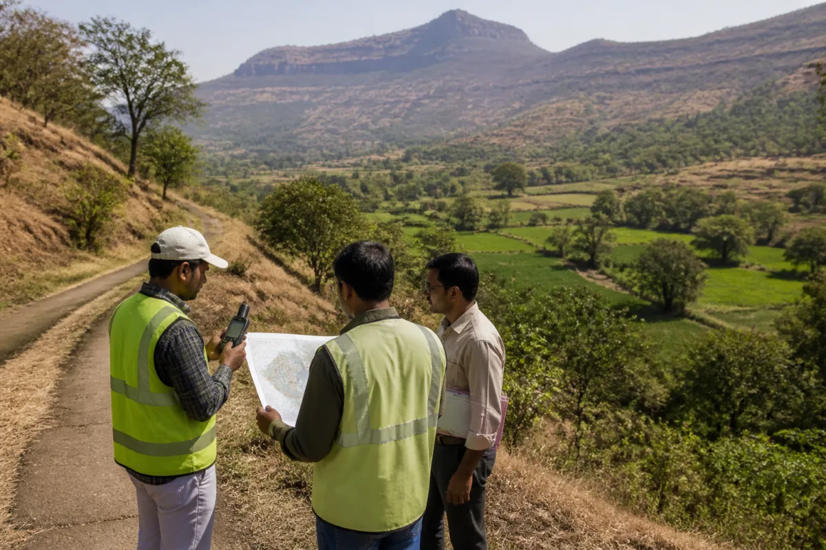
A forest-land verification process has begun for the proposed Nar-Par-Girna river-linking project, a planned water and irrigation scheme for Nashik and Jalgaon districts in Maharashtra. The Girna River Basin Project Department has submitted geographical information covering about 945 hectares of forest land to the Forest Department for checking.
The verification is expected to establish the area, boundaries and precise locations of the forest land that may have to be acquired for the project. According to the report, project officials have marked the forest areas, land boundaries and locations using latitude and longitude information on Google Maps. The Forest Department’s verification is pending.
The process is important because the project requires environmental and forest-related approvals before the proposed works can proceed across the affected areas. The latest development does not indicate that these approvals have been granted.
The Nar-Par-Girna scheme is intended to divert water from the west-flowing Nar, Par, Auranga and Ambika rivers towards the water-deficit Girna sub-basin in eastern Maharashtra. The stated objective is to support agriculture and address drinking-water needs in parts of Nashik and Jalgaon.
The project is estimated to cost about Rs 7,500 crore and is planned in two stages. The government issued work orders in May 2026 for works valued at Rs 4,116.10 crore under the first stage. Land acquisition subsequently began, according to the report.
Overall land acquisition for the project is estimated at 3,801 hectares. The reported requirement includes 1,905 hectares of government land and 956 hectares of private land. About 945 hectares of forest land is also estimated to fall within the area to be acquired or otherwise required for the project, although the Forest Department’s verification will determine the relevant boundaries and extent.
The first stage includes dams at Umbarpada, Saranyavan, Pratapgad, Rakshasbhuvan, Milan, Ghodi, Ukhedmal, Savarpada and Devmal. These locations will therefore remain linked to the outcome of land, forest and environmental clearances as the project moves forward.
For residents and landholders, the verification stage is significant because it precedes decisions on the land required for dams and associated works. For the wider region, the project’s stated water-supply and irrigation benefits will depend on whether the proposed diversion, land acquisition and statutory approvals progress as planned. The current report establishes that the forest-land review has started, but it does not confirm its outcome or the grant of final environmental and forest permissions.

