


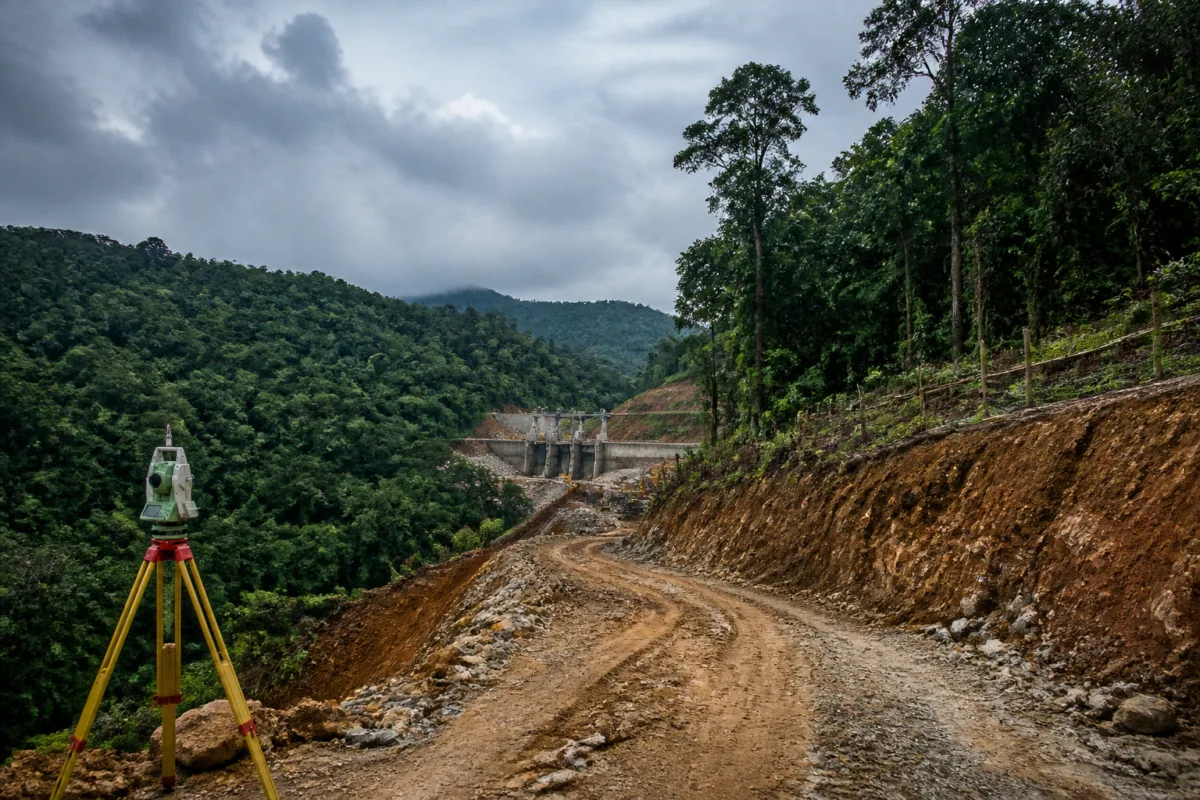
The Yettinahole project has encountered a fresh regulatory setback after the Regional Empowered Committee under the Union Environment Ministry’s forest administration declined to approve proposals covering the use of 35 acres of forest land and compensatory afforestation. The decision shifts attention from the project’s construction progress to a more fundamental question: whether forest diversion, post-facto permissions and compensatory planting have been handled within the approvals granted to the project.
According to a report by Prajavani, the committee took the decision at a meeting held last week and decided that the project site should first be inspected before any further decision is taken. The committee has also asked the Forest Department to clarify the land identified for compensatory afforestation. The immediate outcome is therefore not a final cancellation or rejection of the project, but a pause in approval for the latest proposal pending inspection and clarification.
The latest proposal concerns 35 acres in different survey numbers in Sakaleshpur taluk. The Water Resources Department had sought post-facto approval for the use of this forest land and had also submitted a proposal for compensatory afforestation. The forest-use request is significant because post-facto approval deals with work or land use that has already occurred or proceeded without the relevant permission being secured in advance. The supplied report does not specify the exact construction activities carried out on the 35 acres, but it establishes that the department sought approval after the fact.
This is not the first forest-clearance issue connected to the project. Earlier, the Union ministry had raised objections to a proposal involving work in 272 acres of forest land in Hassan and Tumakuru districts. The report says that, after those objections, in-principle approval was granted following the payment of a large penalty. It does not provide the amount of the penalty or the conditions attached to that approval. Those details matter because the latest proposal must be understood against an already documented history of objections and conditional regulatory handling.
The committee’s decision also brings the compensatory afforestation site under scrutiny. The state has identified land in Bageshpura in Arsikere taluk for this purpose. According to the report, the relevant survey-number land was mutated in the name of the Forest Department in 2017. Compensatory afforestation was then carried out there using CAMPA funds in 2018-19, and the land was notified as reserved forest in 2022.
These dates create the central administrative problem identified in the committee proceedings. A site that has already received compensatory afforestation using CAMPA funds and was later notified as reserved forest cannot simply be presented as an unexamined substitute location for a new obligation without a clear account of its legal and administrative status. The committee has therefore sought an explanation from the Forest Department. The report does not establish whether the land was proposed for a second compensatory obligation, whether the earlier afforestation work was being counted again, or whether there was a mismatch in the documentation. It does establish that the committee considered the explanation insufficient at this stage.
The issue illustrates why forest clearance is not a single approval event. It involves the identification of the land to be diverted, the extent of the approved diversion, compliance with conditions, payment of related charges or penalties, and the creation or management of compensatory forest assets. Each stage creates a documentary trail. If the area used on the ground exceeds the area approved, the question is no longer limited to whether a project has received broad in-principle support. It becomes a question of whether individual works have remained within the legal and administrative boundaries of that support.
The Prajavani report says that the Yettinahole project has used more forest land than the area previously approved by the ministry. The committee has described this as a violation of rules and had directed that action be taken against officials responsible for the lapse, with a report submitted to it. However, the proceedings reportedly record that the state has not provided an adequate response on this matter. This creates a second accountability track alongside the pending 35-acre approval: the committee is examining both the new proposal and the state’s response to earlier non-compliance.
For project administration, the distinction is important. A fresh proposal can address a specific parcel or activity, but it may not resolve an earlier question about excess forest use. Unless the state explains how the additional land was used, who authorised it and what corrective steps were taken, the latest request remains linked to a wider compliance record. The supplied report does not identify the officials involved or state whether disciplinary proceedings have begun. It only records the committee’s direction and its dissatisfaction with the response received from the state.
The numbers show the scale of the regulatory progression. The earlier proposal involved 272 acres of forest land across Hassan and Tumakuru districts. The latest request covers 35 acres in Sakaleshpur taluk. The newer area is smaller, but it is not administratively separate from the project’s larger forest footprint because the report directly connects it to earlier objections, prior approval and alleged use beyond the approved extent. The available material does not provide the total forest area currently occupied by the project, the full extent of any alleged excess use, or the number of project components affected.
The compensatory afforestation timeline adds another layer. The Bageshpura land was mutated in 2017, afforestation was undertaken using CAMPA funds in 2018-19, and the land was notified as reserved forest in 2022. The committee’s demand for clarification suggests that the history of a compensatory site is itself relevant to determining whether it can be used to satisfy a later requirement. The record, as reported, does not say that the afforestation work was invalid or that the reserved-forest notification was improper. It says that the committee wants the Forest Department to explain the site’s status before considering the proposal.
This is also a test of how large infrastructure projects coordinate between implementing departments and regulators. The Water Resources Department submitted the proposal, while the Forest Department must clarify the compensatory-afforestation land. The committee, operating under the Union forest administration, is the body that will inspect the project location and decide the next step after receiving the required information. The arrangement places responsibility across multiple institutions, but the reported non-compliance shows the risk when land records, construction activity, forest permissions and compensatory measures are not reconciled in time.
The case also underlines the difference between project-level approval and site-level compliance. A project may have received an in-principle approval or paid a penalty, yet individual works can still attract objections if they extend beyond the approved land or if supporting conditions are unclear. In this instance, the previous approval did not close the matter. The latest 35-acre proposal has reopened questions about the actual forest area used, the basis for post-facto approval and the adequacy of compensatory afforestation records.
For residents and stakeholders, the immediate practical consequence is uncertainty over the regulatory timeline for work associated with the 35 acres. The committee has not approved the proposal and will first conduct a site inspection. The report does not state whether construction has stopped, whether the disputed land is essential to a particular component, or whether the decision will affect the project’s overall completion schedule. Those points cannot be established from the supplied material and should not be inferred from the committee’s refusal to approve the latest proposal.
What the evidence does establish is narrower but consequential. The Yettinahole project’s forest-use record contains repeated points of regulatory concern: an earlier objection involving 272 acres, a later proposal for 35 acres of post-facto approval, reported use beyond the area previously approved, and unresolved questions about the land identified for compensatory afforestation. These are not merely procedural details. They determine whether the project’s physical footprint corresponds with the permissions and environmental obligations recorded on paper.
The next stage will depend on the committee’s site inspection, the Forest Department’s explanation of the Bageshpura land and the state’s response on the alleged excess forest use and action against responsible officials. Until those steps are completed, the latest 35-acre proposal remains unresolved. The available report does not indicate when the inspection will take place or when the committee will reconvene, making those the key developments to monitor.

