


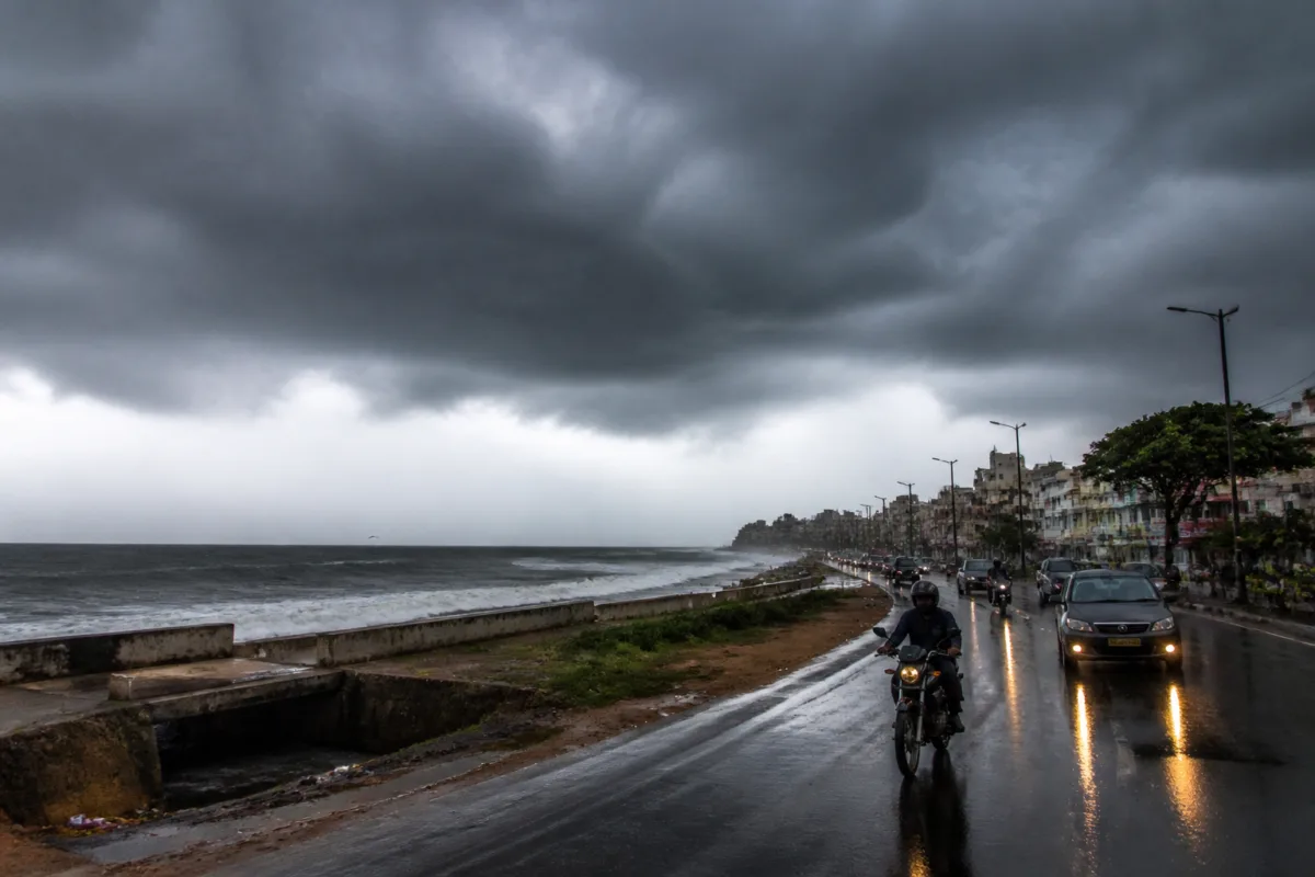
Tamil Nadu rainfall is expected to continue in phases until November 18 as a low-pressure area is likely to form over the southeast Bay of Bengal on November 13, according to the Chennai weather centre. The system may move northwest and strengthen into a well-marked low-pressure area by November 14 and a depression by November 15.
The weather centre said the system is associated with an atmospheric circulation over the southern Andaman Sea and adjoining areas. Its projected movement and possible intensification have prompted a district-wise rainfall forecast covering parts of southern Tamil Nadu, the Western Ghats, the northern coastal belt, the delta region, Puducherry and Karaikal.
For November 12, moderate rain is possible in isolated places in Tenkasi, Thoothukudi, Tirunelveli and Kanniyakumari districts. Isolated light rain has also been forecast over other Western Ghats districts, northern coastal Tamil Nadu, Puducherry and Karaikal. These areas include locations where rainfall can affect road travel, local drainage and routine public movement, although the supplied forecast does not specify any warnings of flooding or disruption.
The forecast for November 13 and 14 indicates isolated light rain over the Western Ghats districts and northern coastal Tamil Nadu, along with Puducherry and Karaikal. The distribution suggests that rainfall is likely to remain uneven, with different parts of the state experiencing different levels of precipitation rather than a uniform spell across Tamil Nadu.
On November 15 and 16, moderate rain is possible at isolated places in the hilly areas of Tirunelveli and Kanniyakumari districts. Light rain has been forecast in isolated locations across other Western Ghats districts, the delta districts and southern Tamil Nadu, as well as Karaikal.
The final two days of the forecast period, November 17 and 18, could bring moderate rain at isolated places in Tenkasi, Thoothukudi, Tirunelveli and Kanniyakumari. Other Western Ghats districts may receive light rain in isolated locations during the same period.
The weather centre’s forecast places the system’s next major milestones on November 13, 14 and 15: formation of the low-pressure area, possible strengthening into a well-marked low-pressure area, and a possible further intensification into a depression. The forecast does not establish the system’s final landfall location, rainfall totals or the scale of impacts on particular cities.
For urban administrations and residents, the immediate operational issue is the spread of rainfall across coastal, hilly, delta and southern districts over several days. The supplied report does not announce closures, evacuation measures or specific municipal advisories. Further official updates will be needed as the system develops and its track and intensity become clearer.

