


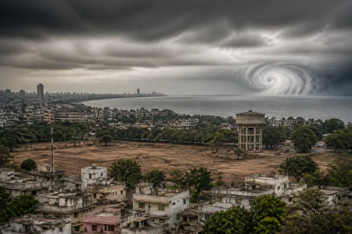
Cyclone Arnab was expected to bring widespread rain to Maharashtra and parts of central India after crossing the Andhra Pradesh coast, but the storm’s movement was disrupted by strong westerly winds in the upper atmosphere. The result was a sharp reduction in the rainfall benefit anticipated for Maharashtra, highlighting how vulnerable regional water expectations can be when they depend on the uncertain movement of a weather system hundreds of kilometres away.
According to a report by Sakal – Pune, the cyclone was expected to move northwards after making landfall on the Andhra Pradesh coast and then travel through Telangana and Chhattisgarh towards eastern Madhya Pradesh. That projected route would have created the possibility of widespread rainfall across Maharashtra. Instead, the storm remained close to the coast for longer than expected, with most of its significant rainfall confined to Andhra Pradesh and Odisha.
The immediate issue is not simply that one forecast changed. It is that rainfall associated with a cyclone is shaped by the interaction of several atmospheric systems. A storm can make landfall in one state yet fail to carry moisture deep inland if its forward movement is slowed or redirected. For a state facing dry conditions, that difference determines whether the event becomes a meaningful source of rain or remains largely a coastal weather episode.
The report says the Indian Meteorological Department had expected Cyclone Arnab to cross the Andhra Pradesh coast between 9 am and noon on Wednesday. In practice, the cyclone crossed the coast at around 2 am, approximately seven hours earlier than expected. It then remained close to the coast until late on Wednesday night. The IMD subsequently stated that the system had weakened over Andhra Pradesh by midnight.
The storm’s slower and altered movement was linked by weather scientists quoted in the report to a strong flow of westerly winds between roughly five and 10 kilometres above the surface over Maharashtra and central India. Those winds blocked the cyclone’s expected north-north-westward movement. Instead of progressing inland along the anticipated route, the system remained concentrated near the eastern coast, where Andhra Pradesh and Odisha recorded heavy rain.
This is the central lesson from the episode: a cyclone’s presence on a forecast map does not automatically translate into rainfall for inland regions. The expected benefit depends on the storm’s timing, direction, speed, intensity and interaction with surrounding winds. Each of these factors can change the geographical distribution of rain, even after a broad forecast path has been established.
The report also indicates that the IMD’s forecast models, which are often able to provide accurate cyclone-track projections, appeared to have struggled in this instance. That observation should be treated as a description of this forecast episode rather than a general verdict on cyclone forecasting. The supplied report does not provide model-by-model performance figures, forecast error measurements or an official technical assessment explaining why the projected track diverged from the observed movement.
That missing detail matters because weather forecasts are used at several levels. At the public level, residents interpret a forecast as an indication of whether rain is likely in their locality. At the administrative level, state and district authorities use forecasts to prepare for flooding, water storage, crop impacts and emergency response. When a storm is expected to travel inland, expectations may also influence decisions about water management and the timing of local preparations. The source material does not establish that any particular administrative decision in Maharashtra was changed because of the forecast, but it shows why the difference between projected and actual movement has practical significance.
Maharashtra’s position in this episode is especially important because the state was described as facing drought conditions. The expected rainfall from Cyclone Arnab was therefore viewed as a possible source of relief. Once the cyclone remained near the coast, that relief became less likely. The report does not provide rainfall totals for individual Maharashtra districts, reservoir levels or a comparison with seasonal averages, so the scale of the state’s unmet rainfall requirement cannot be quantified from the available material. What can be established is that the expected widespread rainfall did not materialise through the cyclone’s projected inland track.
The geography of the event also shows why state boundaries are a poor guide to weather impacts. The system affected the eastern coast most strongly, while the atmospheric flow over Maharashtra and central India prevented the storm from moving along the route that would have carried rain westwards and inland. A cyclone’s effect is therefore determined by atmospheric circulation across a large region, not just by the location where it makes landfall.
The episode also raises a wider question for climate resilience: how much should cities and public agencies rely on a single forecast event to ease water stress? The supplied report does not describe municipal water systems, reservoir operations or emergency plans in Maharashtra. It does, however, show the risk of treating a forecast weather system as a dependable water source before its track and rainfall distribution are clear. For urban regions, this distinction is important because water demand continues regardless of whether an anticipated storm reaches inland catchments.
A second weather system may now develop over the South Andaman Sea, according to the report. A cyclonic circulation was observed at an altitude of about six kilometres on Wednesday, and the IMD expected a low-pressure area to form in the same region on Thursday. Some models indicated that the system could strengthen while moving north-westwards and potentially develop into a very severe low-pressure area or another cyclone by 2 November.
The report also carries a significant qualification: the next system may face a similar influence from westerly winds and could remain largely confined to the eastern coast. This is a forecast possibility, not a confirmed outcome. The available material does not establish the system’s eventual track, intensity or rainfall distribution, and those details remain dependent on subsequent observations and forecasts.
The sequence illustrates how the value of a forecast changes over time. An early projection can identify a possible risk or opportunity, but its usefulness for local planning depends on later updates about the storm’s actual location, movement and intensity. For Maharashtra, the difference between an expected inland passage and a coastal weakening was decisive. The state was not simply affected by whether a cyclone existed; it was affected by whether the cyclone’s route aligned with the rainfall pattern required inland.
For urban and regional planners, the broader issue is the relationship between weather uncertainty and infrastructure dependence. Rainfall expectations influence how authorities and residents think about water availability, while the actual distribution of rain determines whether reservoirs, local catchments and urban supply systems receive any benefit. The supplied report does not provide evidence about specific reservoir or municipal outcomes, but the storm’s altered track demonstrates why weather-related relief cannot be assumed from a headline forecast alone.
Cyclone Arnab therefore offers a narrow but important case study in the limits of rainfall relief from distant weather systems. The evidence confirms that upper-level westerly winds altered the cyclone’s expected movement, that landfall occurred earlier than forecast, and that the system weakened near Andhra Pradesh instead of travelling inland as anticipated. It does not establish the reasons for the forecast divergence in technical detail, nor does it quantify the rainfall deficit across Maharashtra. The next significant developments will be the IMD’s updates on the Andaman Sea system, its eventual track and whether any new weather formation brings rain beyond the eastern coast.

