


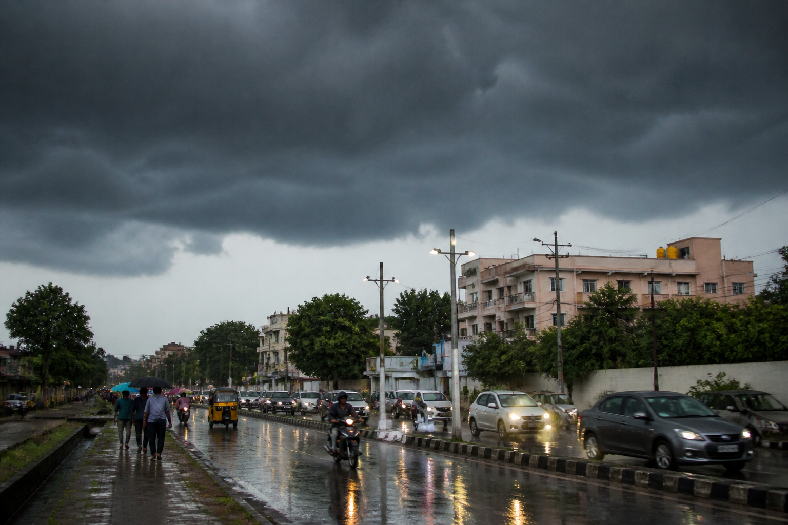
Andhra Pradesh could see widespread rain from October 14 to 19 as a developing low-pressure area over the Bay of Bengal is expected to bring showers across the southern peninsula, according to private weather website Skymet. The forecast covers the Andhra Pradesh coast, Rayalaseema and several neighbouring regions during the Dasara period.
Skymet said a low-level cyclonic circulation has been marked over the South Andaman Sea and adjoining areas. The circulation is expected to become more pronounced through the middle and upper levels of the atmosphere, potentially leading to the formation of a low-pressure area over the Bay of Bengal.
The system is forecast to move across the south-central Bay of Bengal and reach the southwest Bay of Bengal by mid-week. It is expected to remain near coastal Tamil Nadu and Sri Lanka as it moves, with the possibility of gaining strength, Skymet said. The weather system’s projected movement places the Andhra Pradesh coast within the zone expected to receive fairly widespread rain and thundershowers on October 14 and 15.
The forecast indicates that the rainfall could spread inland from October 16. Interior Tamil Nadu, Rayalaseema, Kerala, coastal Karnataka and south interior Karnataka are expected to receive more widespread and intense rain between October 16 and 19. Rain may continue after that period, although Skymet expects the intensity to ease.
For Andhra Pradesh, the forecast is relevant to both coastal settlements and inland districts. Rainfall along the coast is expected earlier in the period, while Rayalaseema is included in the areas that could see increased rainfall as the system moves inland. The weather activity could affect outdoor Dasara programmes, local travel and routine movement, although the supplied forecast does not specify district-level warnings or expected rainfall totals.
Skymet said the developing low-pressure area could contribute to the onset of the northeast monsoon over the southern peninsula. That transition would depend on the withdrawal of the southwest monsoon. Andhra Pradesh and Tamil Nadu could therefore experience a period in which the two monsoon systems withdraw and advance almost simultaneously.
The weather activity is expected to develop between October 15 and 20, according to the report. Skymet added that the system’s low-latitude track near the equatorial region could limit its development into a storm. The current forecast describes a rain-bearing low-pressure system rather than a confirmed cyclonic storm.
The next key markers will be the system’s development over the South Andaman Sea, its movement towards the south-central and southwest Bay of Bengal, and the spread of rain over coastal Andhra Pradesh from October 14. The forecast may be refined as the system’s strength and track become clearer.

