


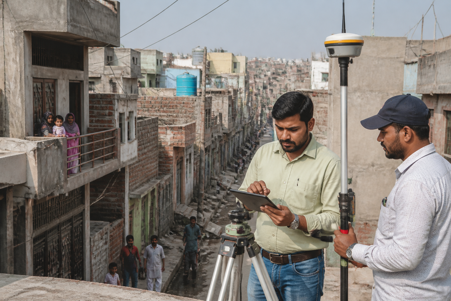
Delhi unauthorised colonies will undergo a satellite-backed GIS survey and mapping exercise to support the granting of property ownership rights under the PM-UDAY scheme, according to a report by Live Hindustan – NCR. The ₹65-crore project, called ‘Drishti’, will establish PM-UDAY cells across all 13 districts of the capital.
The project will be implemented by the Delhi government’s Revenue Department, with the Delhi Development Authority (DDA), the Municipal Corporation of Delhi (MCD) and the Revenue Department assigned responsibilities for the wider ownership-rights process. The survey is intended to identify the boundaries of unauthorised colonies and individual properties, while recording details of construction through geospatial and GIS-based methods.
According to the report, 80% of the project cost—₹52 crore—will be provided as a grant from the Urban Development Fund of the Union Ministry of Housing and Urban Affairs. The remaining 20%, amounting to ₹13 crore, will be funded by Delhi’s Revenue Department. The project has been approved to create a more systematic process for property surveys, mapping and documentation under PM-UDAY.
Chief Minister Rekha Gupta said the technology-led project would make the survey and mapping process more transparent, organised and time-bound. The report quoted her as saying that the initiative would help residents obtain legal property rights more quickly. It did not provide a detailed implementation schedule or specify when district-level surveys would begin.
The satellite-based exercise will mark the boundaries of colonies and houses and record construction-related details, according to officials cited in the report. This information is expected to support the preparation and processing of documents linked to property ownership, transfer and other associated rights.
The PM-UDAY scheme is aimed at providing ownership rights to residents of notified unauthorised colonies in Delhi. The latest project places the Revenue Department in charge of implementation while retaining roles for the DDA and MCD. The stated objective is to reduce procedural difficulties for eligible residents and enable the scheme’s benefits to reach them more quickly.
The announcement is significant because property rights in unauthorised colonies depend not only on individual applications but also on accurate identification of plots, buildings and colony boundaries. The proposed GIS survey is intended to create that spatial record. However, the report does not specify the number of properties to be mapped, the eligibility process for individual applicants, or the timeline for issuing ownership documents. The next operational milestone will be the establishment of PM-UDAY cells and the commencement of surveys across Delhi’s 13 districts.
