


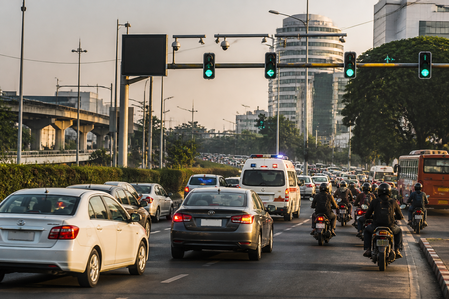
Delhi’s proposed Integrated Traffic Management System (ITMS) is designed to move traffic control from isolated junctions towards a citywide operating model, combining adaptive signals, surveillance, automated enforcement and live route information. The Union Cabinet’s approval gives the plan political clearance, but the more consequential question for commuters is whether the system can turn a collection of technologies into coordinated action across 42 major corridors.
The tentative schedule reported by the Times of India places the first implementation steps within months rather than years. The system is expected to take eight months to build, including finalising the bidder and implementation details. Work would then begin on five priority corridors after 12 months, expand to seven more corridors by 18 months, and cover the remaining 38 corridors by 24 months. These timelines are tentative, and the source report does not establish whether procurement has been completed or identify the implementing agency and selected technology provider.
That distinction matters because traffic congestion is rarely confined to the junction where it is visible. A queue can form because of a downstream bottleneck, a stalled vehicle, a poorly timed signal, a lane restriction or an incident on a parallel road. A system that responds only to individual intersections may shift congestion rather than reduce it. The proposed ITMS attempts to address that problem by connecting traffic signals, cameras, control-room operations and enforcement on a common platform.
Its most important proposed feature is adaptive signal control. Under the plan described by the Times of India, signals could give more green time to a road carrying a longer queue while reducing green time on a relatively empty approach. Signals could also be timed differently for corridors designed for higher speeds and feeder roads carrying lower traffic volumes. In principle, this would replace fixed timing plans with signals that respond to changing conditions.
The practical value of that approach depends on what the system can observe and how quickly traffic managers can act. Sensors and cameras may identify a queue, but the response still has to account for nearby intersections, pedestrian movement, turning traffic and the possibility that a problem has originated elsewhere. The supplied material describes the proposed functions, but it does not provide performance benchmarks, operating rules or details of how competing traffic demands would be prioritised.
The plan also proposes signals that communicate with one another. If a vehicle receives a green light at one junction, the next signal could be timed to turn green as the vehicle approaches. This is intended to reduce unnecessary stops on connected stretches. Such coordination is more meaningful at corridor level than at a single crossing: the objective is not simply to extend one green phase, but to manage movement across a sequence of junctions.
This proposed “green wave” approach also exposes a central implementation challenge. A corridor may carry cars, buses, two-wheelers, freight vehicles, pedestrians and emergency vehicles at the same time. A signal plan that improves movement for one stream can create delays or safety concerns for another. The report outlines the intended signal coordination but does not specify how the system will balance different road users or whether the priority corridors have common traffic characteristics.
Incident detection is another significant part of the proposed architecture. Cameras could identify a sudden slowdown caused by an accident or stalled vehicle and alert the traffic control centre. The system is also expected to detect emergency vehicles, potentially through audio, and adjust signals to create a clearer passage through intersections. For Delhi’s commuters, this would shift traffic management towards earlier detection rather than relying entirely on reports from police personnel, motorists or control-room operators.
However, detection is not the same as resolution. A camera may identify that traffic has slowed, but clearing a vehicle, managing an accident scene and restoring normal movement require field response. The supplied report does not detail the response protocol, the agencies responsible for intervention or the time expected between detection and action. Those institutional links will determine whether the control centre becomes a decision-making hub or merely another source of alerts.
The ITMS is also designed to expand automated enforcement. Artificial intelligence-enabled cameras could identify red-light violations, while automatic number plate recognition (ANPR) could record vehicle registration numbers and identify two-wheelers. The system may also detect speeding and entry into restricted lanes, flagging violations for enforcement. These functions would allow authorities to monitor traffic behaviour continuously rather than depend only on visible enforcement at selected junctions.
That shift would make the system not only a mobility project but also a governance and accountability platform. Once a violation is recorded automatically, questions arise about evidence standards, error correction, notice delivery, appeals and data handling. The source report confirms the proposed enforcement features, but it does not state how disputed violations would be reviewed, how long number-plate records would be retained or which institution would control access to the data. Those details are not peripheral; they will shape public confidence in the system.
The proposed digital signboards and other platforms would provide live route suggestions when a corridor is heavily congested. This could give motorists information before they enter a bottleneck and distribute traffic across alternative routes. But route diversion can also move pressure onto smaller roads. The report does not say how alternative routes would be selected or how residential streets and lower-capacity roads would be protected from spillover traffic.
The rollout plan indicates that Delhi is being treated as a network of priority corridors rather than as a single, uniformly managed road system. The first five corridors listed are the Ring Road, Outer Ring Road, Rao Tula Ram Road–Shanti Path–Teen Murti Marg–C-Hexagon Road, NH-48 and Vande Mataram Road–Faiz Road–Rani Jhansi Road. The next seven include Mehrauli-Gurgaon Road and Sri Aurobindo Marg, Mathura Road and Bahadur Shah Zafar Marg, NH-9, Deen Dayal Upadhyaya Marg–IP Marg–ITO Bridge–Vikas Marg, Rohtak Road, and Jawaharlal Nehru Marg between Ajmeri Gate and Rajghat.
These corridors connect major roads, central-city routes, bridges and links towards the airport and adjoining urban areas. Their inclusion suggests that the first phase is intended to target roads where congestion can affect large movements across the city. Yet the sequence also means that the system will initially be incomplete. If only five corridors are operational at the 12-month stage, traffic conditions outside them may continue to influence the results inside them. The planned 24-month completion of the remaining 38 corridors is therefore central to the promise of a truly integrated system.
The institutional challenge is as important as the technical one. The proposed platform is expected to bring traffic control, surveillance and enforcement onto a common system. That implies coordination between traffic police, the control centre, road agencies, emergency responders and the authorities responsible for signs and signals. The source material does not identify the exact governance structure, but the common platform described in the plan will require common operating procedures and clearly assigned responsibilities.
Delhi’s ITMS therefore represents a potentially important change in how the city manages movement. Its promise lies in connecting decisions that are usually made separately: signal timing, incident detection, emergency passage, automated enforcement and route information. Its risk lies in treating technology as a substitute for operational coordination. Cameras can detect problems, algorithms can recommend responses and signs can issue warnings, but the system’s public value will depend on whether institutions can act on that information consistently.
The evidence currently confirms an approved plan, a proposed set of capabilities and a tentative two-year corridor rollout. It does not yet establish the final bidder, detailed procurement terms, performance standards, privacy safeguards, enforcement procedures or measurable congestion targets. Those are the next facts to watch as implementation moves from cabinet approval to system design and field deployment. Delhi’s traffic experiment will be judged not by how intelligent its cameras appear, but by whether commuters experience fewer stops, faster incident response and more predictable movement across the full road network.
