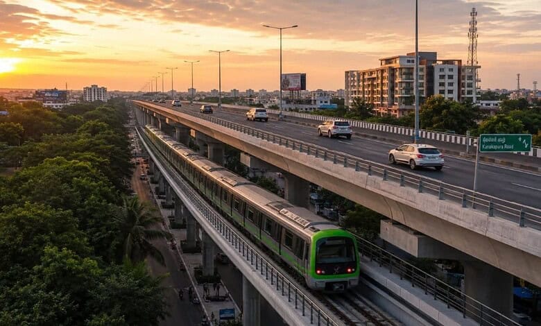
Bengaluru is moving ahead with plans for an 18.5-km elevated corridor connecting Ragigudda with Kanakapura Road, as the state seeks new ways to tackle persistent congestion in southern Bengaluru. The toll-based project, estimated at ₹2,283.19 crore excluding land acquisition and utility-shifting costs, is designed to provide an additional high-capacity route alongside one of the city’s heavily congested surface corridors.
The project has entered the bidding stage, with Bengaluru Smart Infrastructure Limited inviting proposals for development of the corridor. Bids are due by September 23, with technical bids scheduled to be opened the following day. Construction is proposed to take 30 months, including the monsoon period. The proposed route will begin near Marenahalli Main Road at Ragigudda Junction and travel towards Kanakapura Main Road through the BWSSB Pipeline Road corridor, reaching the NICE Road connection near Thalaghattapura. The alignment has been planned largely parallel to the existing surface network, where congestion has become a persistent feature of daily travel. Current journey conditions illustrate the scale of the problem. Traffic on the affected corridor can take between 60 and 90 minutes, with average speeds reported at only around 8–12 kmph. Dense development along the route, including residential towers, commercial establishments and other built-up areas, leaves limited scope for conventional road widening.
The project will use a toll-based model, with the government offering viability-gap funding of up to 40% of the estimated project cost. That could amount to roughly ₹913 crore in public support, while the private concessionaire could operate the corridor for a maximum period of about 32.5 years. This financing structure makes the Bengaluru elevated corridor more than a road-building exercise. The eventual toll level, traffic volumes and operating costs will determine how accessible the route is to different groups of commuters. A faster route that carries a significant user charge may benefit motorists with greater ability to pay while leaving other travellers dependent on the already crowded surface network. There is also a question of integration. The proposed corridor will run alongside or close to the Green Line Metro alignment on Kanakapura Road. With public transport already serving the area, transport planners will need to ensure that the new road complements mass transit rather than encouraging further dependence on private vehicles. The project is part of a much larger state plan involving 13 elevated corridors covering more than 126 km, with an overall estimated investment of ₹18,000 crore.
For Bengaluru, the immediate test will be whether additional elevated capacity can produce measurable improvements on the ground. Long-term mobility gains will depend on integrating roads with metro, buses, walking infrastructure and efficient surface-street management, while ensuring that major transport investments remain economically accessible and environmentally responsible.